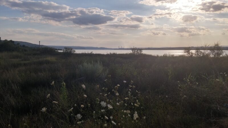
The Trastikovo reservoir is an irrigation reservoir of about 2.3 km² on the Sakar Dere, a left tributary of the Provadiyska, north-west of Varna in Varna Province, near the village of Trastikovo.
How it formed
Work began in 1962 on the former Karachko marsh, with a dam 1,690 m long and 23 m high. Its water was used to irrigate about 70 km² of vegetable gardens belonging to Tsarevtsi, Sindel and Trastikovo.
Visit
Swimming
No reliable information
Tips
The reservoir is stocked with fish; ask locally about access and fishing.
Nearby lakes
Show on map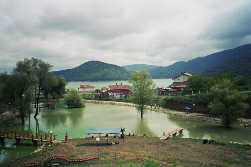


Know Trastikovo Reservoir well?
Suggest a beach, viewpoint, trail or amenity, or tell us if something has changed. We read every message.
Sources & data
- Bulgaria's 2022 Water Framework Directive reporting to the EEA: lake (LW) and transitional (TW) water bodies, field cArea, European Environment Agency (WISE WFD), reported by Bulgaria, 2022
- OpenStreetMap: Язовир Тръстиково (way 222525133), OpenStreetMap contributors
- Bulgarian Wikipedia: Тръстиково (язовир), Wikimedia Foundation