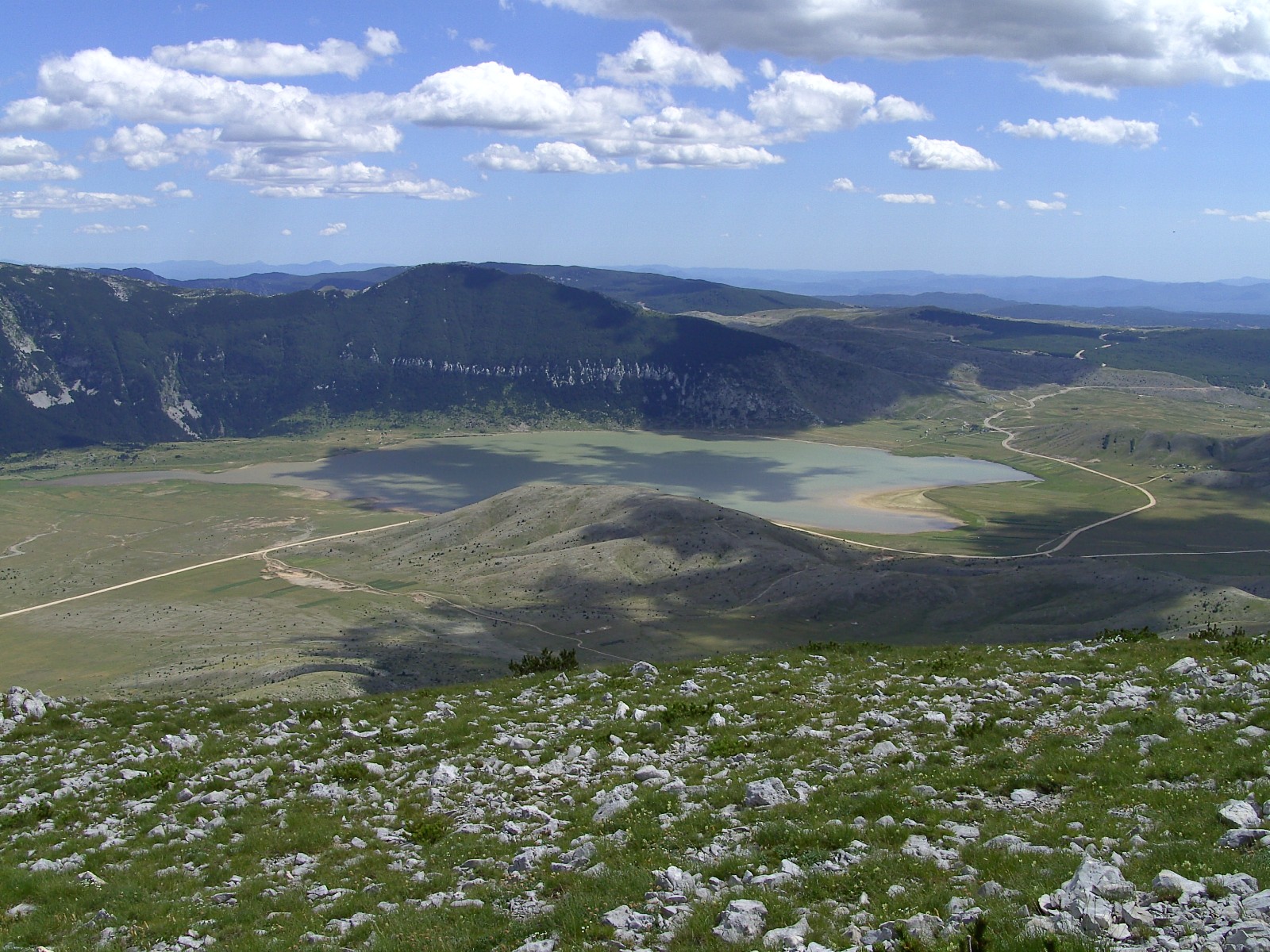
Photo: Martin Brož · CC BY 3.0
Blidinje Lake is an alpine lake on the karst Blidinje plateau, in Blidinje Nature Park between Jablanica, Tomislavgrad and Posušje, and the largest of its kind in Bosnia and Herzegovina. It is very shallow, and its size changes strongly with the season. It is the most important hydrogeological feature of the park and of the whole Dinaric karst in Bosnia and Herzegovina.
How it formed
Blidinje is the result of a glacial retreat, but it is also partly the work of people. According to the records of the parish of Poklečani and recent research into the karst hydrology of the plateau, the lake is artificial and was created at the end of the nineteenth century. Local residents and cattle breeders sealed the sinkholes through which the water was escaping with branches and clay, and so the water stayed and the lake formed.
The lake is only a few metres deep at most, and its surface area varies widely through the year.
History
The plateau has a long human story. Five medieval stećak necropolises, named after their locations (Ponor, Donje Bare, Jezero, Risovac and Dugo Polje), stand in the park, and the Dugo Polje necropolis is under UNESCO protection. At the foot of Mount Vran, in Dugo Polje, is the cave of Mijat Tomić, an outlaw of local legend. The nature park was established on 30 April 1995.
Nature
The park has about 1,500 plant species, more than 200 of them endemic, relict or subendemic, and it has the largest European stand of Bosnian pine and the largest stand of the endemic white-bark pine (munika).
Gallery
Photo: Martin Brož · CC BY 3.0
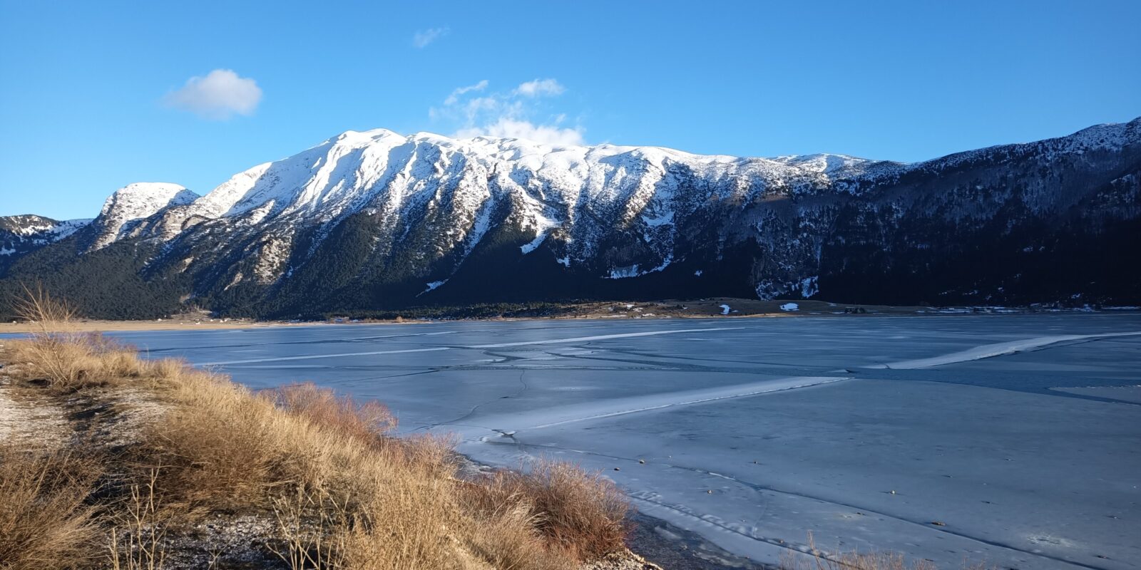 Photo: Hienstorfer · CC BY-SA 4.0
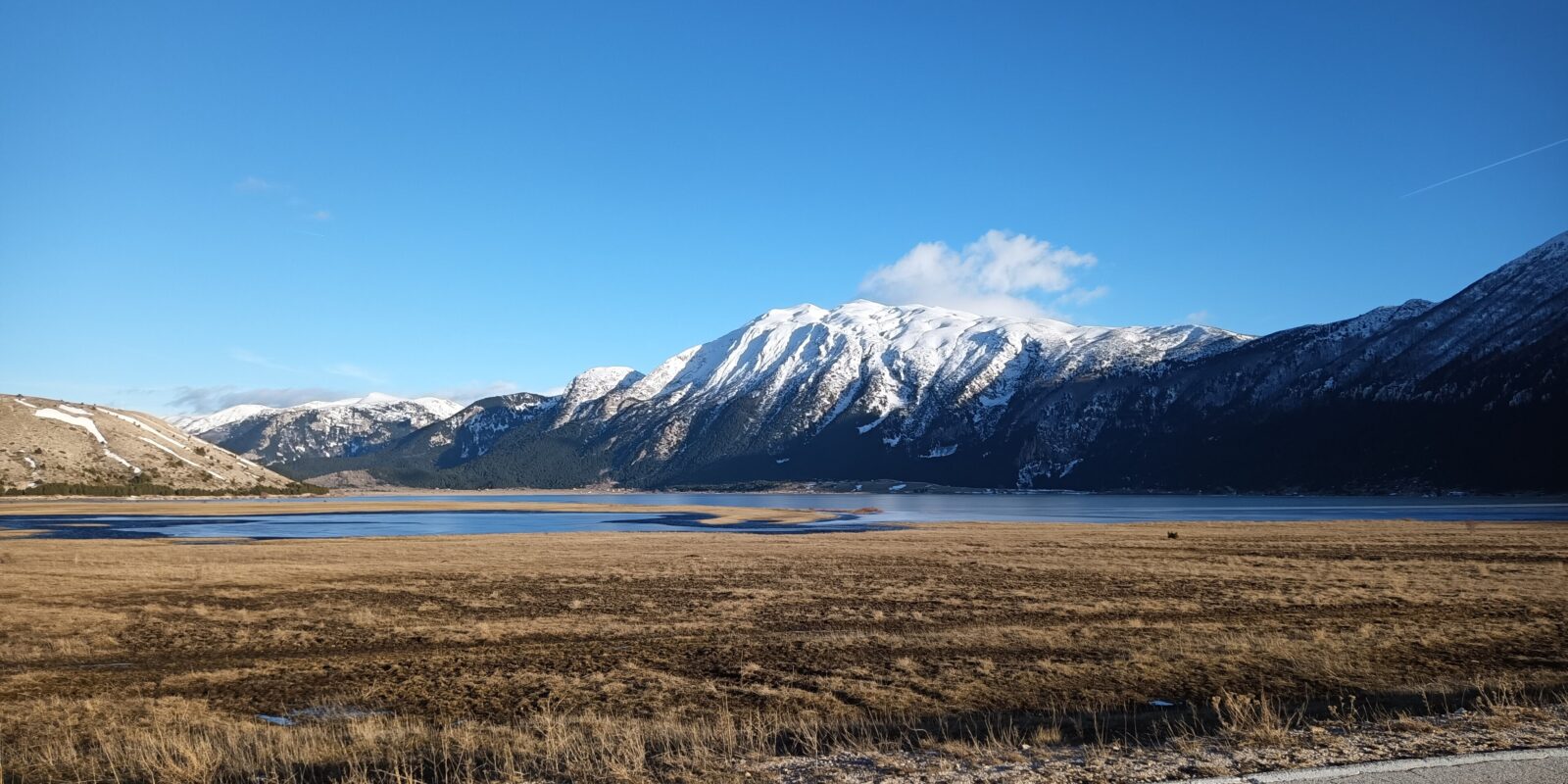 Photo: Hienstorfer · CC BY-SA 4.0
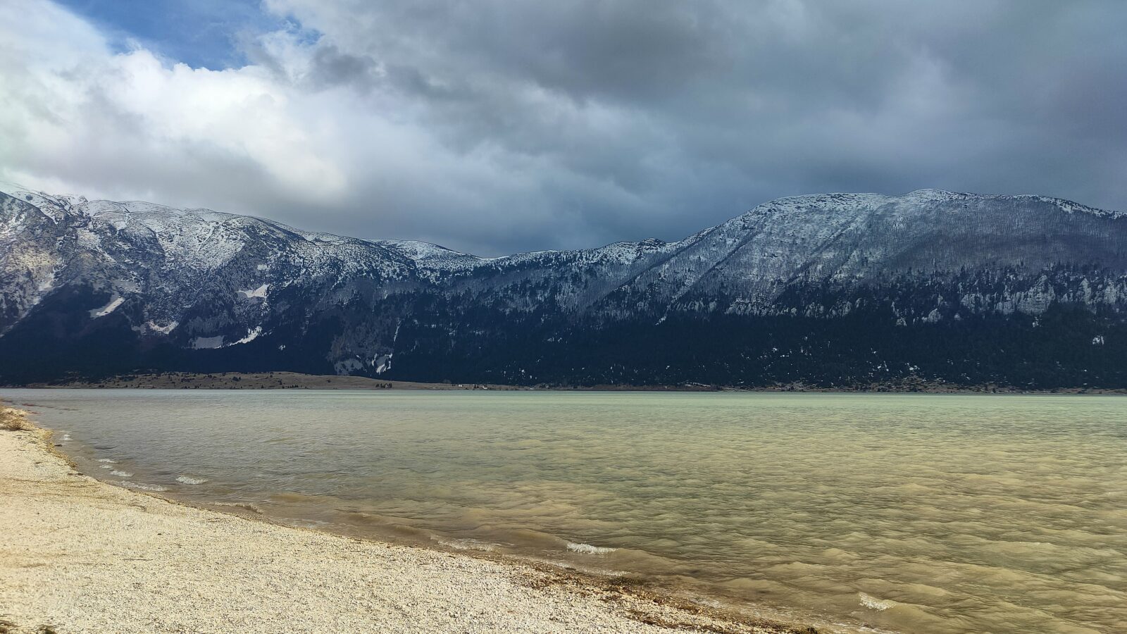 Photo: Irrmam · CC BY-SA 4.0
Visit
Swimming
No reliable information
Tips
The lake is a protected part of Blidinje Nature Park, so its rules apply. Its surface varies between about 3 and 6 km² depending on the season and the water level, and you can explore it by canoe.
Hajdučka vrata, the stone gate
The most popular hike in the region leads to Hajdučka vrata, a round rock window about five metres across on Čvrsnica at about 2,000 m, with a view down into the Diva Grabovica canyon, about 1,800 m deep. It has been a natural monument since 1985 and is very fragile, so stay a few metres in front rather than directly beneath it. An easier path starts at Risovac and a harder one climbs from the canyon. Another option is the route to the hut at Vitlenica, about three and a half hours over Čvrsnica. The Vilinac mountain lodge is said to be the highest-lying lodge in the Dinaric Alps, and the cliff of Veliki Kuk drops more than 1,300 m.
Eating and sleeping
There are restaurants in the park (Risovac, Vilinac and others), and you can stay in weekend houses and mountain lodges. For information, the park's tourism office can be reached through visit-blidinje.com.
Nearby lakes
Show on map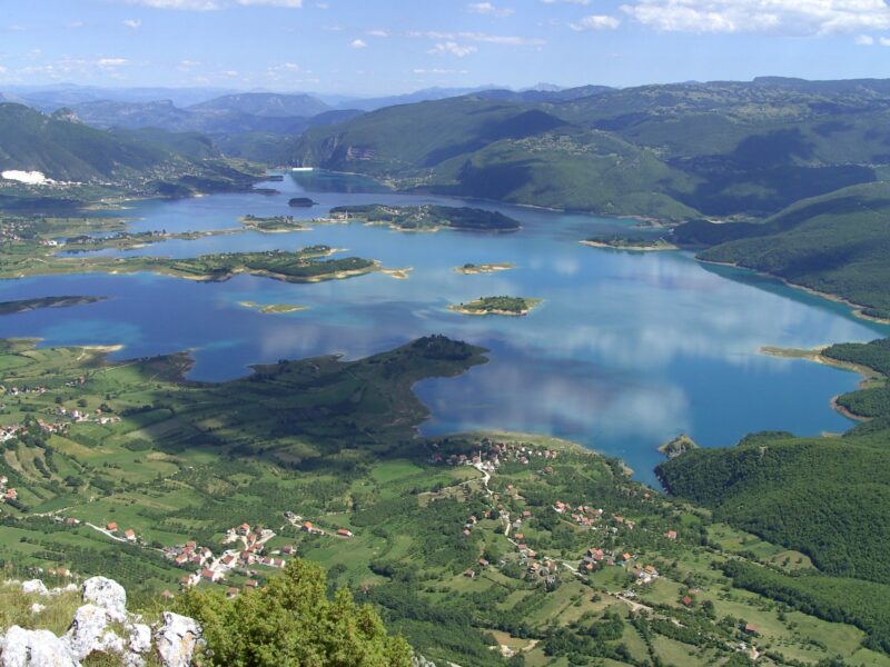


Know Blidinje Lake well?
Suggest a beach, viewpoint, trail or amenity, or tell us if something has changed. We read every message.
Sources & data
- Statistički godišnjak/ljetopis Federacije BiH 2022, table 1-3 "Jezera / Lakes", Federalni zavod za statistiku, 2022
- Wikidata: Blidinje Lake (Q884054), Wikimedia Foundation
- English Wikipedia: Blidinje Lake, Wikimedia Foundation
- Blidinje Nature Park: attractions, Visit Blidinje
- Blidinje Nature Park, Tourism BiH