 Photo: Martin Brož · CC BY 3.0
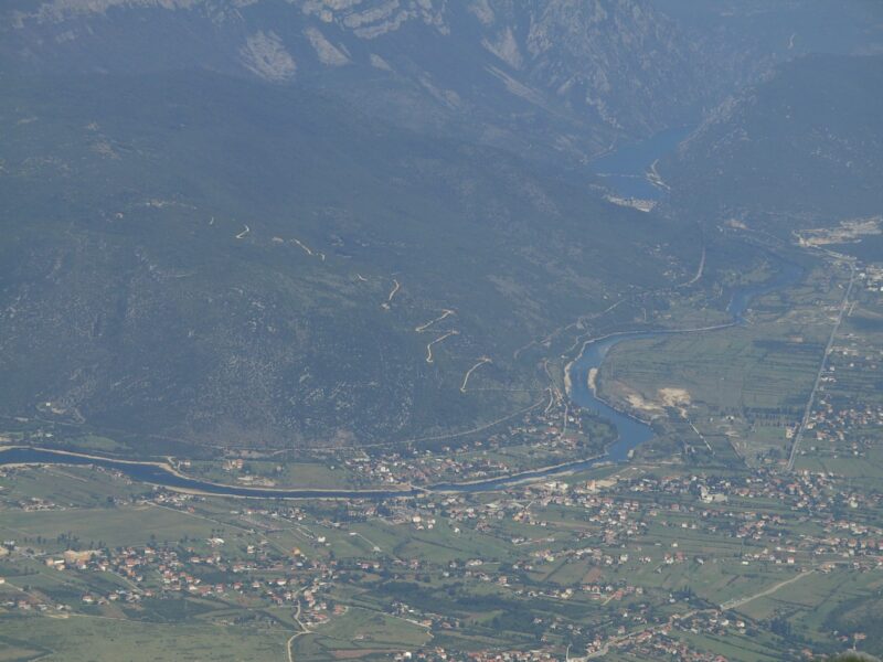
A reservoir on the Neretva between Jablanica and Mostar, just above Salakovac lake.
How it formed
The lake is the reservoir of the Grabovica hydroelectric plant, in the Neretva canyon in the municipality of Jablanica, one of the chain of dams between Jablanica and Mostar. The Neretva, the Glogošnica and the Komadinovo vrelo spring feed it.
History
The flash floods of October 2024, which killed many people around Jablanica, swept huge amounts of wood and rubbish down the Neretva into the reservoir, and it took weeks to clear.
Visit
Swimming
No reliable information
Tips
The M-17 road between Mostar and Sarajevo runs alongside the river, so the lake is easy to see on the way. The Neretva stays very cold even in August; ask locally about fishing and access to the water.
Nearby lakes
Show on mapPhoto: Martin Brož · CC BY 3.0
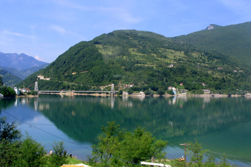 Photo: Ante Perkovic · CC BY-SA 3.0

Bosnia and Herzegovina · Herzegovina
Jablanica Lake
Reservoir · artificial
~14 kmaway
202 metreselevation
 Photo: Martin Brož · CC BY 3.0

Know Grabovičko jezero well?
Suggest a beach, viewpoint, trail or amenity, or tell us if something has changed. We read every message.
Sources & data
- Croatian Wikipedia: Grabovica (jezero), Wikimedia Foundation
- Bosnian Wikipedia: Grabovičko jezero, Wikimedia Foundation
- OpenStreetMap: Grabovica (relation 4105538), OpenStreetMap contributors
- English Wikipedia: Grabovica Lake, Wikimedia Foundation
- Wikidata: Grabovičko Lake (Q3395450), Wikimedia Foundation
- Otpad kod hidroelektrane Grabovica nakon poplava (2024), Radio Slobodna Evropa
- The Neretva, Explore Mostar Adventures