Photo: Martin Brož · CC BY 3.0

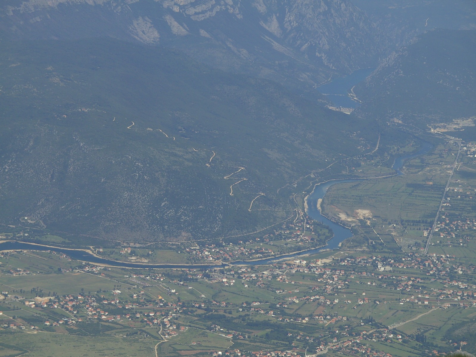
Salakovac is a reservoir on the Neretva north of Mostar, just below Grabovica lake, one of the three lakes of the river’s middle course between Konjic and Mostar. High peaks frame the valley, among them Prenj, Čvrsnica and Čabulja.
How it formed
The lake was filled in the early 1980s behind the dam of the Salakovac hydroelectric plant. The Neretva and the Drežanka feed it.
Nature
The middle Neretva holds Adriatic and marble trout, both close to extinction, along with grayling and freshwater crab.
Visit
Getting there
Nearest settlement: Mostar
Swimming
No reliable information
Tips
The midstream lakes are a quiet, rural corner, with small lodges and huts along the shores. Kayaking, canoeing and boat tours are offered on them, and local fishermen can act as guides; the fishing season runs from late March to early October.
The M-17 road between Mostar and Sarajevo follows the river, and the Neretva stays cold even in August.
Nearby lakes
Show on map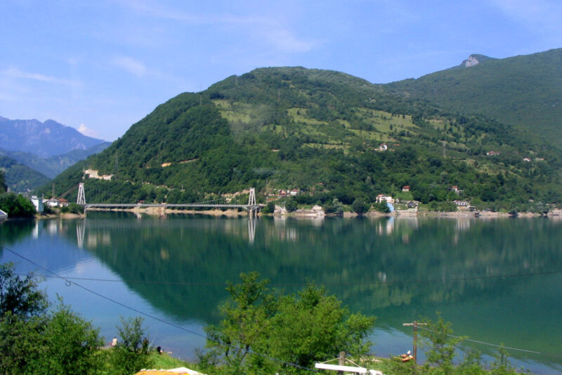 Photo: Ante Perkovic · CC BY-SA 3.0

Bosnia and Herzegovina · Herzegovina
Jablanica Lake
Reservoir · artificial
~23 kmaway
202 metreselevation
Know Salakovac Lake well?
Suggest a beach, viewpoint, trail or amenity, or tell us if something has changed. We read every message.
Sources & data
- Croatian Wikipedia: Salakovačko jezero, Wikimedia Foundation
- Bosnian Wikipedia: Salakovačko jezero, Wikimedia Foundation
- OpenStreetMap: Salakovačko jezero (way 1286606971), OpenStreetMap contributors
- English Wikipedia: Salakovac Lake, Wikimedia Foundation
- Wikidata: Salakovac Lake (Q7403502), Wikimedia Foundation
- Herzegovina lakes: Neretva river midstream, Funky Tours
- The Neretva, Explore Mostar Adventures