Photo: Ante Perkovic · CC BY-SA 3.0
Back to results
Bosnia and Herzegovina · Herzegovina
Jablanica Lake
Jablaničko jezero · Јабланичко језеро
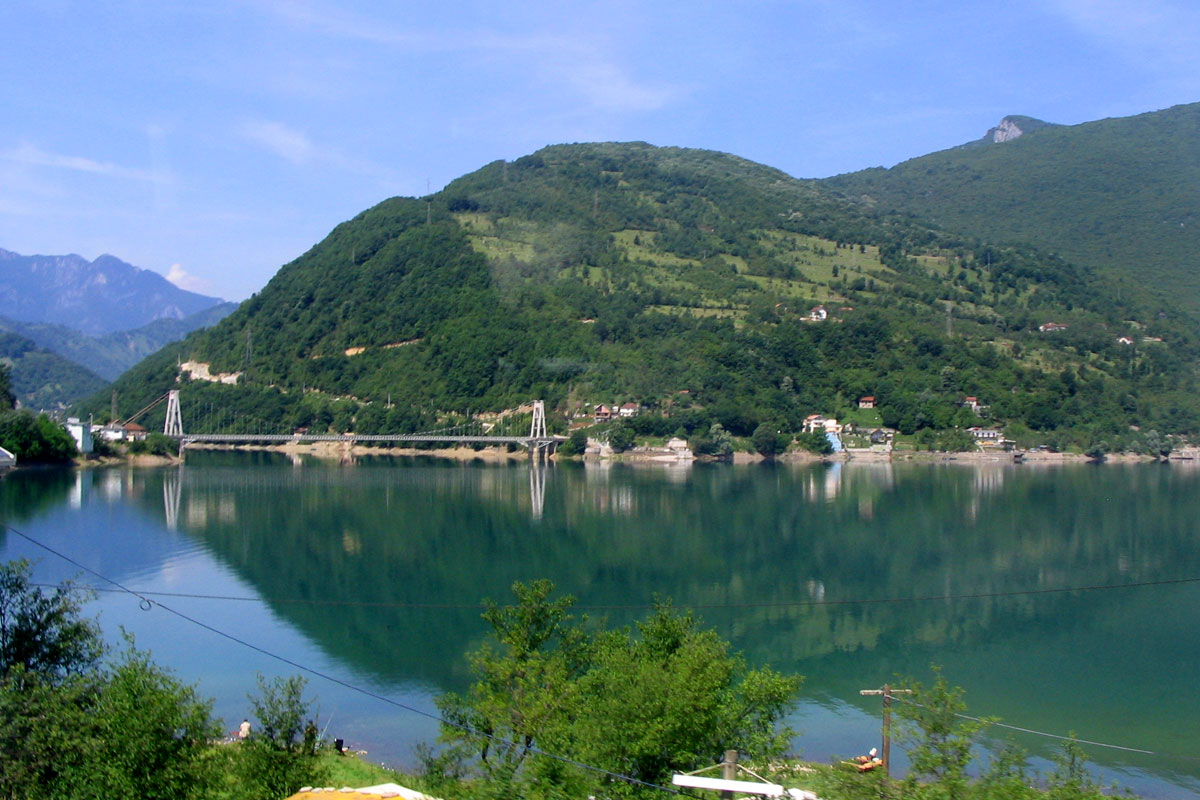
Jablanica Lake (Jablaničko jezero) is a large artificial lake on the Neretva, running from Konjic to the dam near Jablanica in central Herzegovina. It was created in 1953, flooding the fertile farmland of the valley, and it has become one of the popular holiday destinations in Bosnia and Herzegovina, with swimming, boating and especially fishing, and many weekend cottages along its shore.
How it formed
The lake was formed by an arch dam on the Neretva, built in 1953 upstream of Jablanica. It fills the valley just below Konjic, where the river expands into a wide valley, and it has an irregular, elongated shape that follows the river.
History
Before the lake was filled, the valley gave the people of the area a great deal of fertile farmland, most of which the water flooded. In 2017 the lake emptied after the stored water was used for winter power, and in 2024 it dried out during a drought.
The Battle for the Wounded
Jablanica is tied to the Battle of the Neretva in 1943, also called the Battle for the Wounded, when the Partisans crossed the river here. A museum of the battle and a memorial bridge over the Neretva are among the sights listed for visitors.
Nature
The lake is rich in fish, including trout, marble trout, strugač, carp, zander and chub. Poor management of the water and of the fisheries has done harm: non-native fish, among them pikeperch, were introduced and are said to have destroyed native and highly endangered fishes of the Neretva such as strugač and glavatica (marble trout).
Gallery
Photo: Ante Perkovic · CC BY-SA 3.0
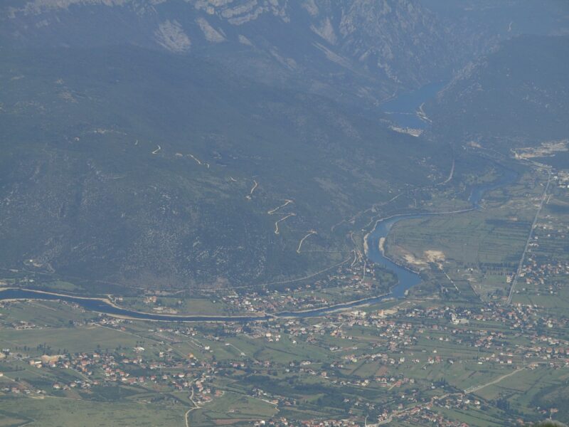
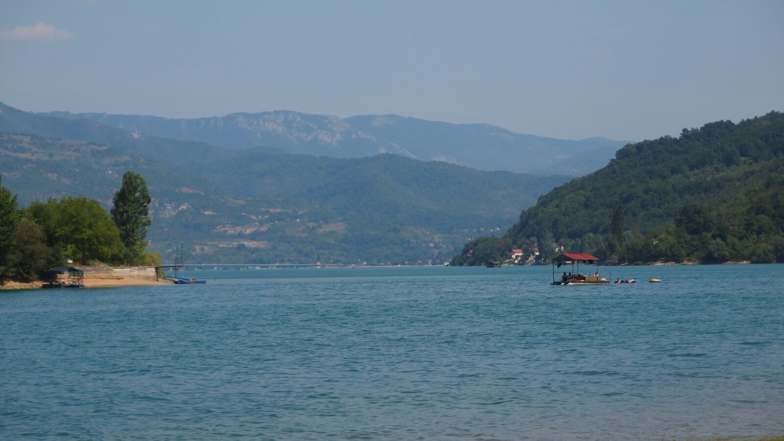 Photo: Mhare · CC BY-SA 4.0
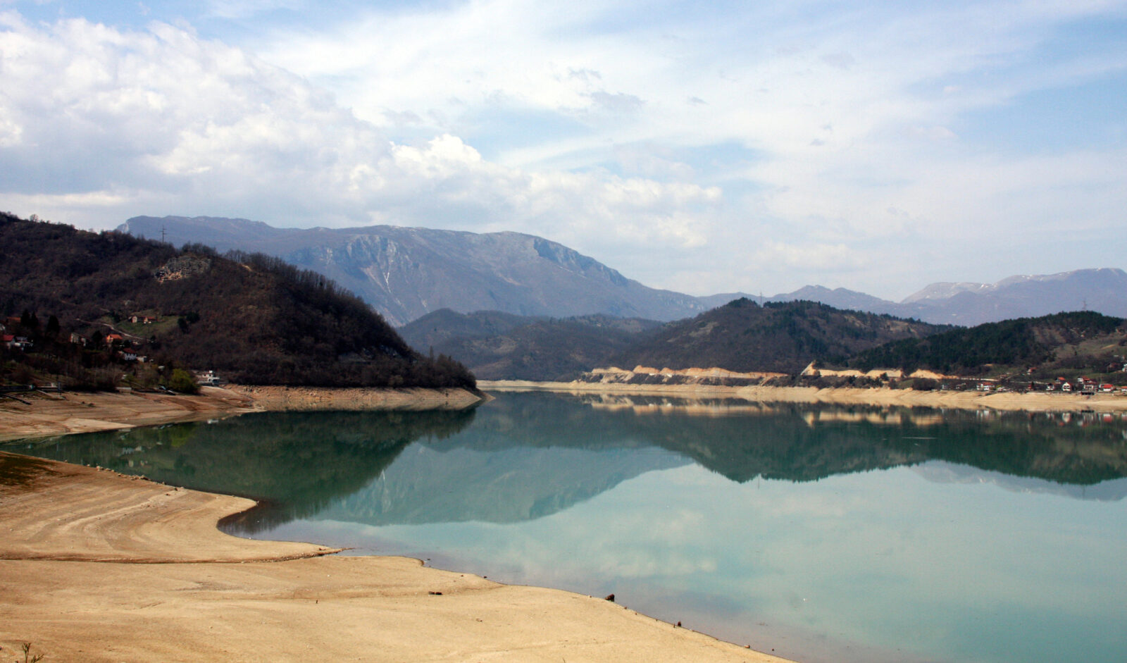 Photo: Bryan Pocius · CC BY 3.0
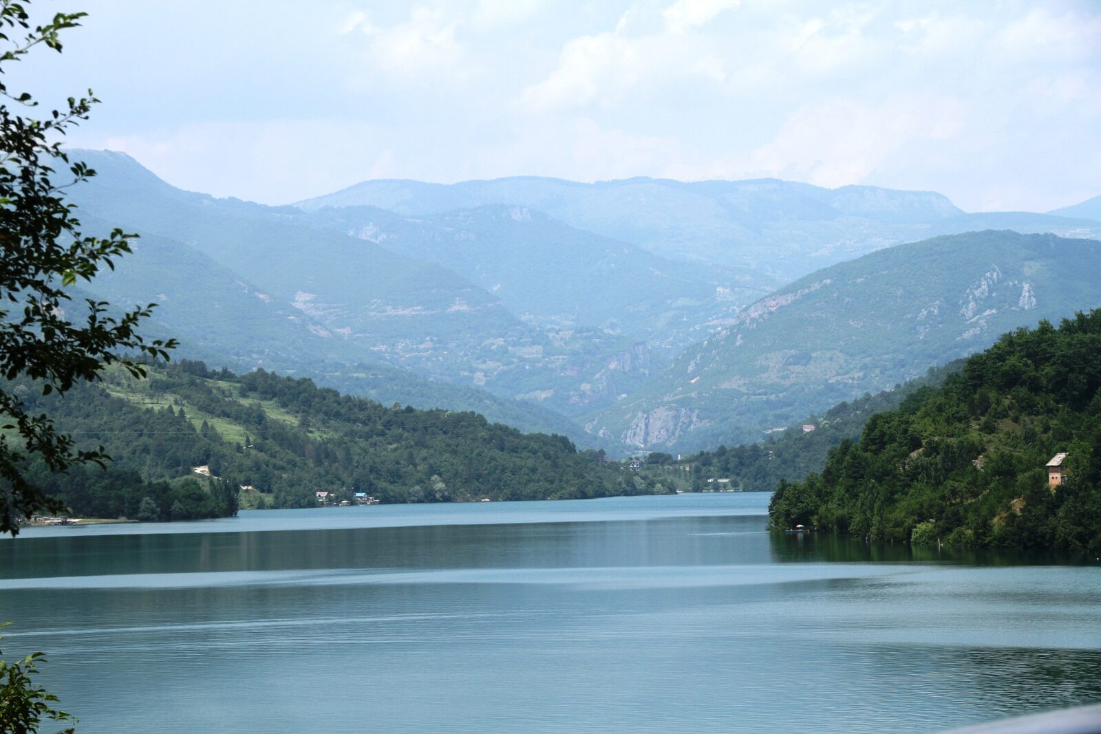 Photo: Bjoertvedt · CC BY-SA 3.0
Visit
Getting there
Nearest settlement: Jablanica
Swimming
No reliable information
Tips
The lake lies along the main road M17 between Konjic and Jablanica. Swimming, boating and fishing are popular, but the water level varies a great deal and the lake has dried out in a drought, so check conditions locally before you go.
Where to swim
Aluminij Beach, at the south end near Jablanica town, is the most developed spot, with free entry, changing rooms and food nearby. Glavatičevo, on the east shore, is quieter, with a gravel beach and a small café. Along the eastern road there are many wild spots with rocky entries, so water shoes help, and cliff jumping is for experienced swimmers only after checking the depth.
Fishing
A Federation of Bosnia and Herzegovina sport fishing licence is required, sold at bait shops and cafés (especially in Glavatičevo) or at the sport fishing society in Jablanica; take an ID. The general season is said to run from 1 March to 30 November, with size and daily catch limits, so check the rules when you buy your permit.
Food
Trout and roast lamb are the dishes of the area, and there are riverside restaurants at Glavatičevo and roadside konobas serving grilled meat and burek.
Getting there and when
Jablanica is about 20 minutes from Konjic, about 1 hour 15 minutes from Mostar and 1 hour 30 minutes from Sarajevo by car, and the scenic Sarajevo–Mostar train stops at Jablanica station. June to September is the swimming season, with late June recommended; April, May and October are quiet and cool, and from November to March most services are closed. Bring cash, and note that toilets exist only at organised beaches and cafés.
Nearby lakes
Show on map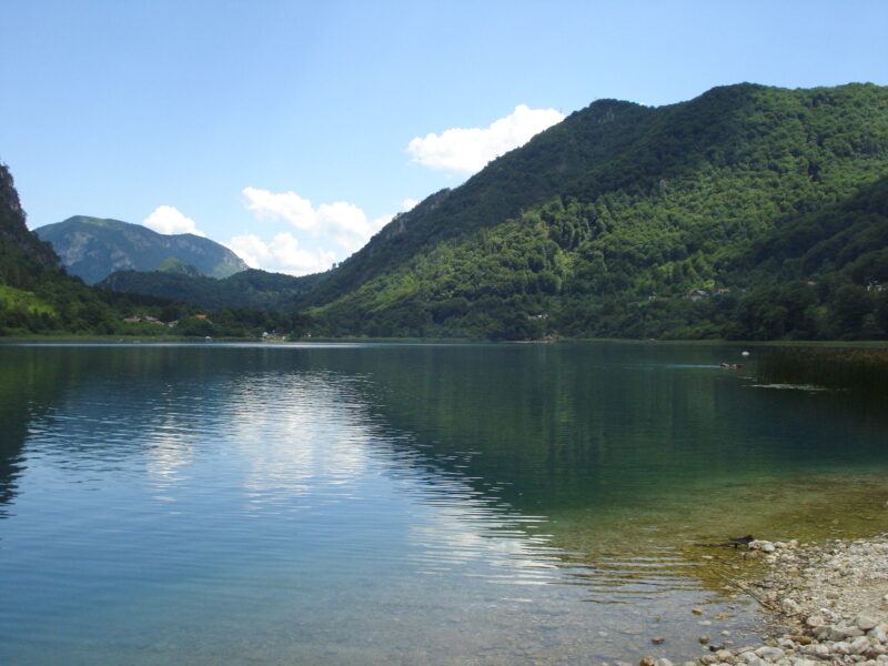


Know Jablanica Lake well?
Suggest a beach, viewpoint, trail or amenity, or tell us if something has changed. We read every message.
Sources & data
- Statistički godišnjak/ljetopis Federacije BiH 2022, table 1-3 "Jezera / Lakes", Federalni zavod za statistiku, 2022
- Croatian Wikipedia: Jablaničko jezero, Wikimedia Foundation
- Wikidata: Jablaničko Lake (Q1541439), Wikimedia Foundation
- OpenStreetMap: Jablaničko jezero (relation 4743501), OpenStreetMap contributors
- English Wikipedia: Jablaničko lake, Wikimedia Foundation
- Jablanica Lake guide, Explore Mostar Adventures
- Wikipedia: Jablanica, Wikimedia Foundation