Fortress
Topana Fortress
The fortress on the cliff above Blue Lake, about half a kilometre north-west of Imotski's centre; it overlooks the town and holds the church of Our Lady of the Angels.
Nearby · ~0.3 km
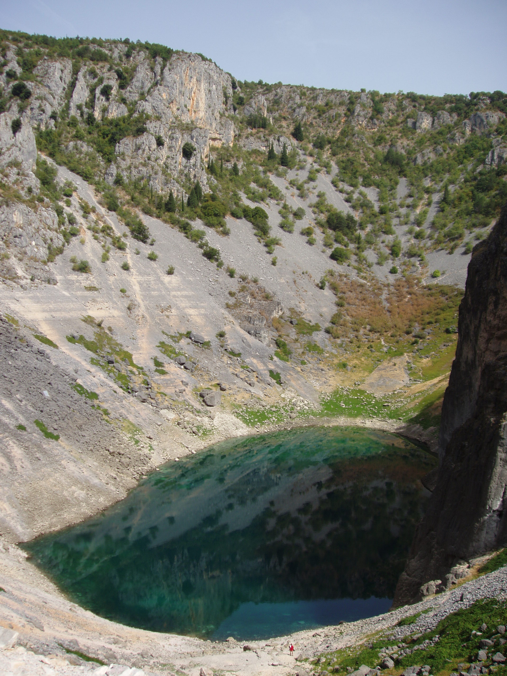
Photo: Dreizung · CC BY-SA 3.0
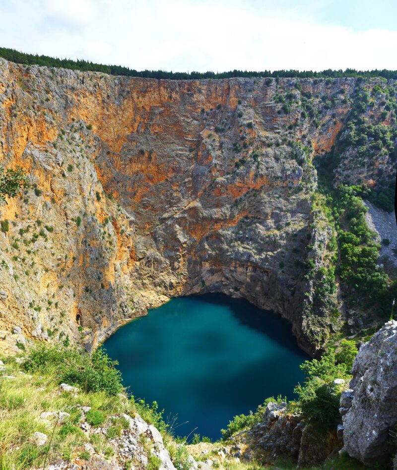
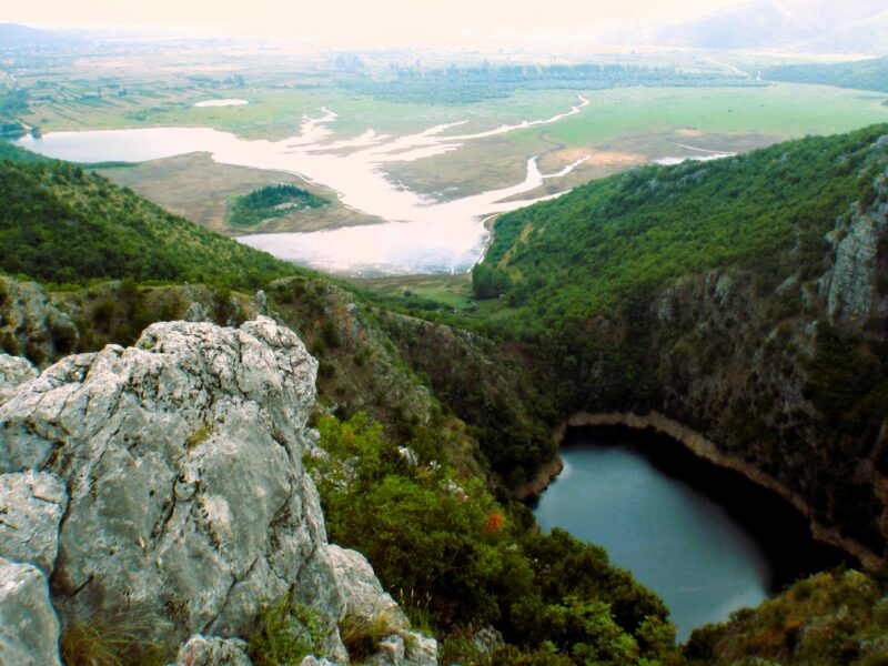
Blue Lake is a karst lake in a deep sinkhole beside the town of Imotski in southern Croatia. Its level changes enormously through the year: it fills with meltwater in spring and in some years it dries out completely, and football is then played on the lakebed. The lake lies below the Topana fortress and is protected as a geomorphological natural monument.
Like the nearby Red Lake, Blue Lake lies in a deep sinkhole that probably formed when an enormous cave collapsed. The depth of the water depends on the season: when snow melts on the surrounding mountains in spring the lake is at its highest, and in 1914 it rose so far that it overflowed the southern rim. By the end of summer it can disappear altogether. A rockfall caused by the earthquake of 1942 reduced the depth of the lake.
The lake has been protected since 1964. A road down to the lake was built in 1907. It lies below the gorge with the Topana fortress, close to the Gospin dolac stadium where the town’s football club plays, and a local legend about its origin is the same as that of Red Lake, the Gavan palaces.
When the water disappears, which happens only now and then, the dry lakebed becomes a football pitch, and local teams with names taken from folk tales play on it.
The Topana fortress stands on the rock above the lake and is the highest point of the town. It dates from the 9th or 10th century and was probably built by Duke Trpimir. It was an Ottoman stronghold from 1493 to 1717 and was abandoned in the 19th century. Today it is well preserved and gives views of Imotski, the lake and the countryside.
Because the water level varies so much, the lake can disappear altogether by the end of summer. The municipality takes particular care of the water quality, the beaches and the surroundings, planting and tending suitable Mediterranean species.
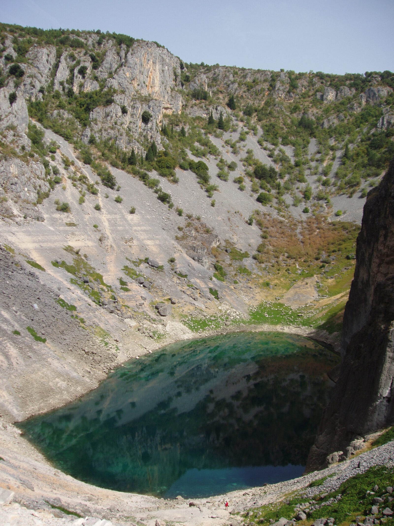 Photo: Dreizung · CC BY-SA 3.0
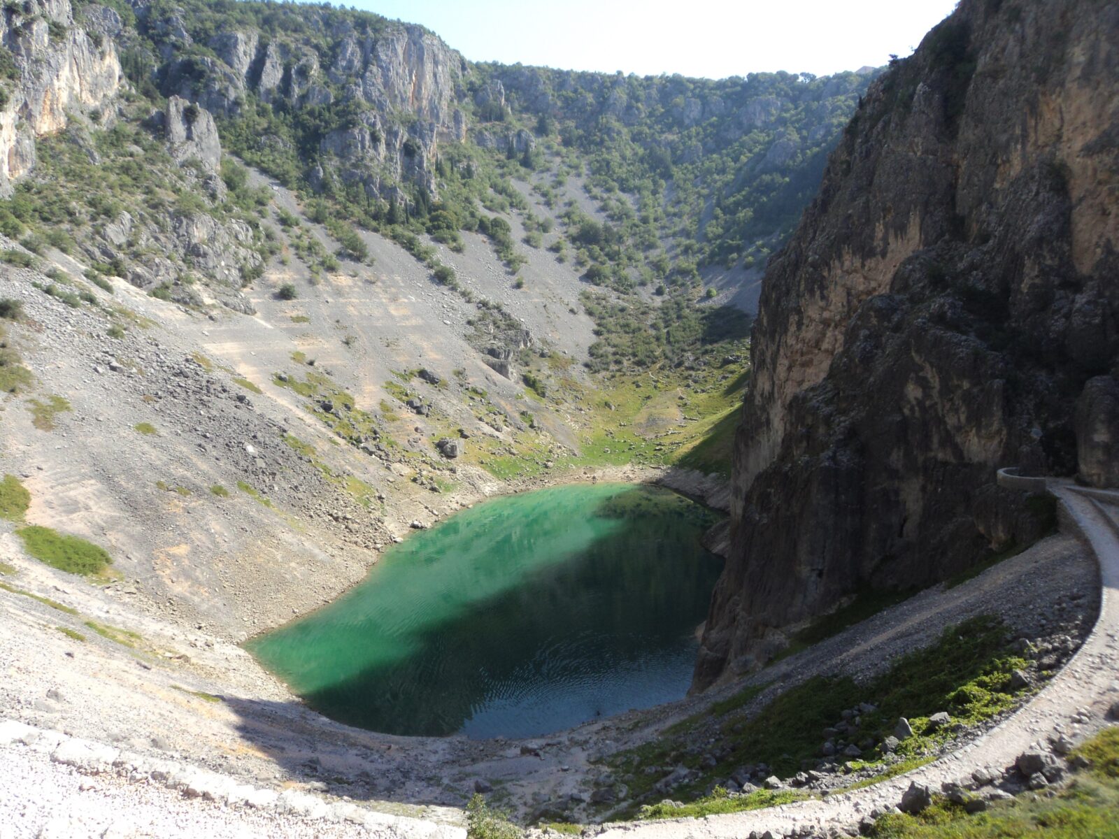 Photo: Mvysl · CC BY-SA 4.0
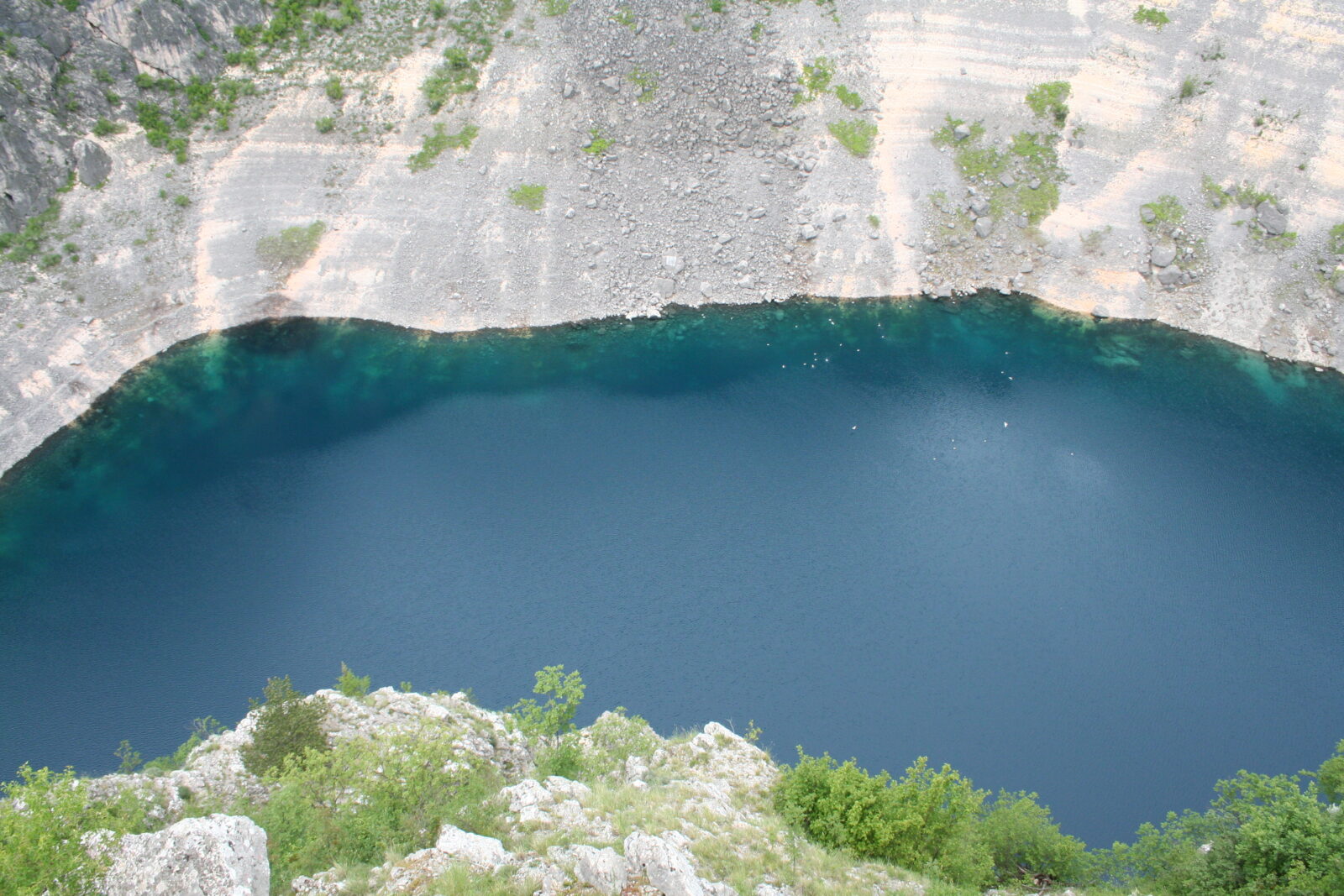 Photo: Tromber · CC BY-SA 4.0
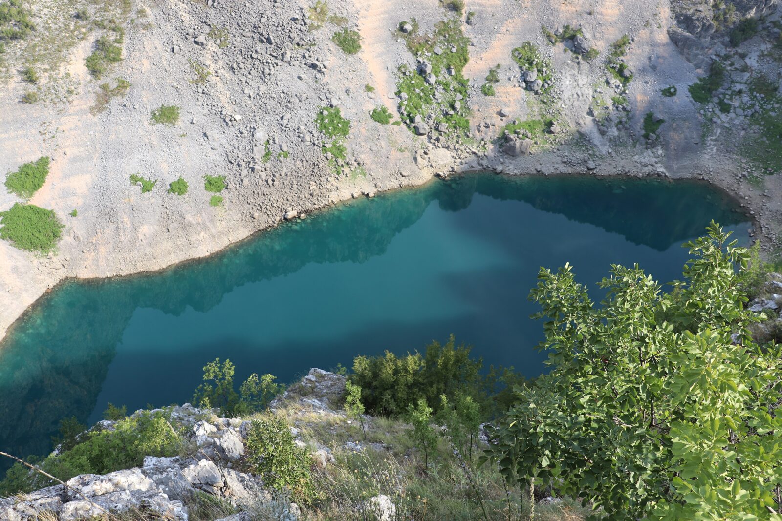 Photo: ADDAM K. · CC BY-SA 4.0
Nearest settlement: Imotski
Allowed
In most summers there is enough water for swimming, and various water sports are played on the lake. It is also a popular place for walking and sightseeing. Check the water level before you go: in some years the lake is dry.
The lake is within walking distance of the centre of Imotski, and a trail leads all the way down to the water. Imotski is just over an hour's drive from Split, and the Red Lake can be visited on the same trip, along a walking route.
Map unavailable. The list keeps working.
Pinch to zoom. Pan with two fingers.
Ctrl+scroll to zoom (Cmd+scroll on Mac)
Fortress
The fortress on the cliff above Blue Lake, about half a kilometre north-west of Imotski's centre; it overlooks the town and holds the church of Our Lady of the Angels.
Missing a beach, viewpoint or trail?
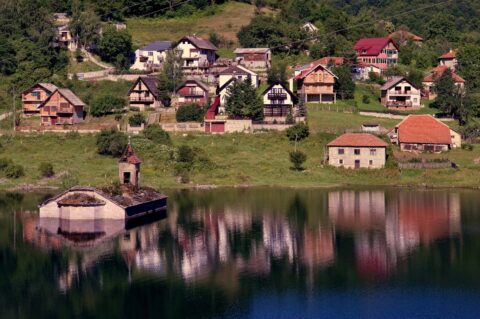
Floating islands, a tortoise island, a church standing in the water, a lake that turns into a football pitch and remote Prokletije lakes: seven off-the-beaten-path lake stops in the Balkans.
Suggest a beach, viewpoint, trail or amenity, or tell us if something has changed. We read every message.
Thank you. We read every suggestion.