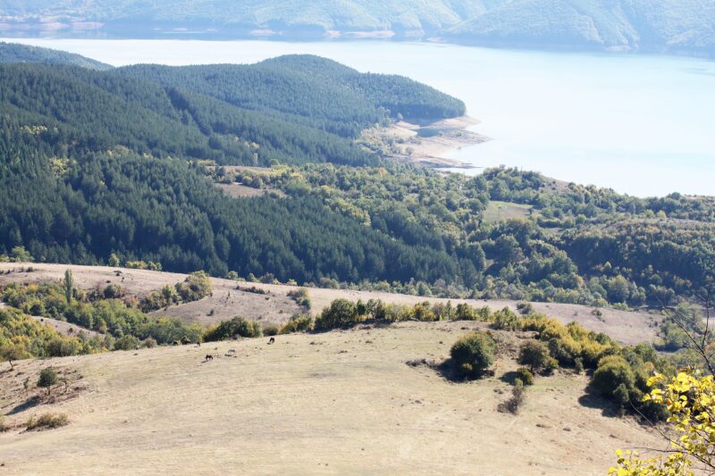
 Photo: Bin im Garten · CC BY-SA 3.0
The Borovitsa reservoir lies on the Borovitsa river, a left tributary of the Arda, about 1 km north-east of the village of Bezvodno in Chernoochene municipality. Covering about 84 ha, it supplies drinking water to Kardzhali and much of the surrounding area.
How it formed
Built between 1980 and 1990, it has one of the largest earth-fill dams of its kind in Bulgaria. Surplus water drops into a large funnel-shaped spillway and is carried by tunnel to the river below the dam.
Nature
The river valley is known for its birds, among them dippers, grey and purple herons, glossy ibis, lesser kestrels and eagles.
Visit
Swimming
No reliable information
Tips
This is a drinking-water reservoir: the area is fenced off, and swimming and fishing are banned. A road runs along the top of the dam to Bezvodno, and a walking route leads to Chilyaka peak.
Nearby lakes
Show on mapPhoto: Bin im Garten · CC BY-SA 3.0
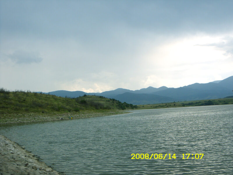 Photo: Stela Zlatkova · CC BY-SA 3.0

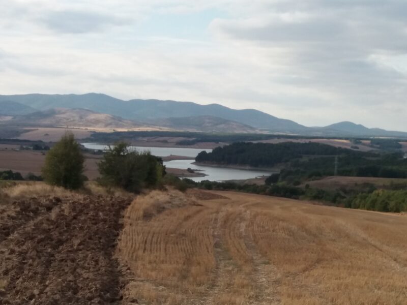 Photo: TodorBelomorski · CC BY-SA 4.0

Know Borovitsa Reservoir well?
Suggest a beach, viewpoint, trail or amenity, or tell us if something has changed. We read every message.
Sources & data
- Bulgaria's 2022 Water Framework Directive reporting to the EEA: lake (LW) and transitional (TW) water bodies, field cArea, European Environment Agency (WISE WFD), reported by Bulgaria, 2022
- OpenStreetMap: яз. Боровица (way 355451332), OpenStreetMap contributors
- Bulgarian Wikipedia: Боровица (язовир), Wikimedia Foundation
- Wikidata: Borovitsa Reservoir (Q12273810), Wikimedia Foundation