Photo: Bin im Garten · CC BY-SA 3.0
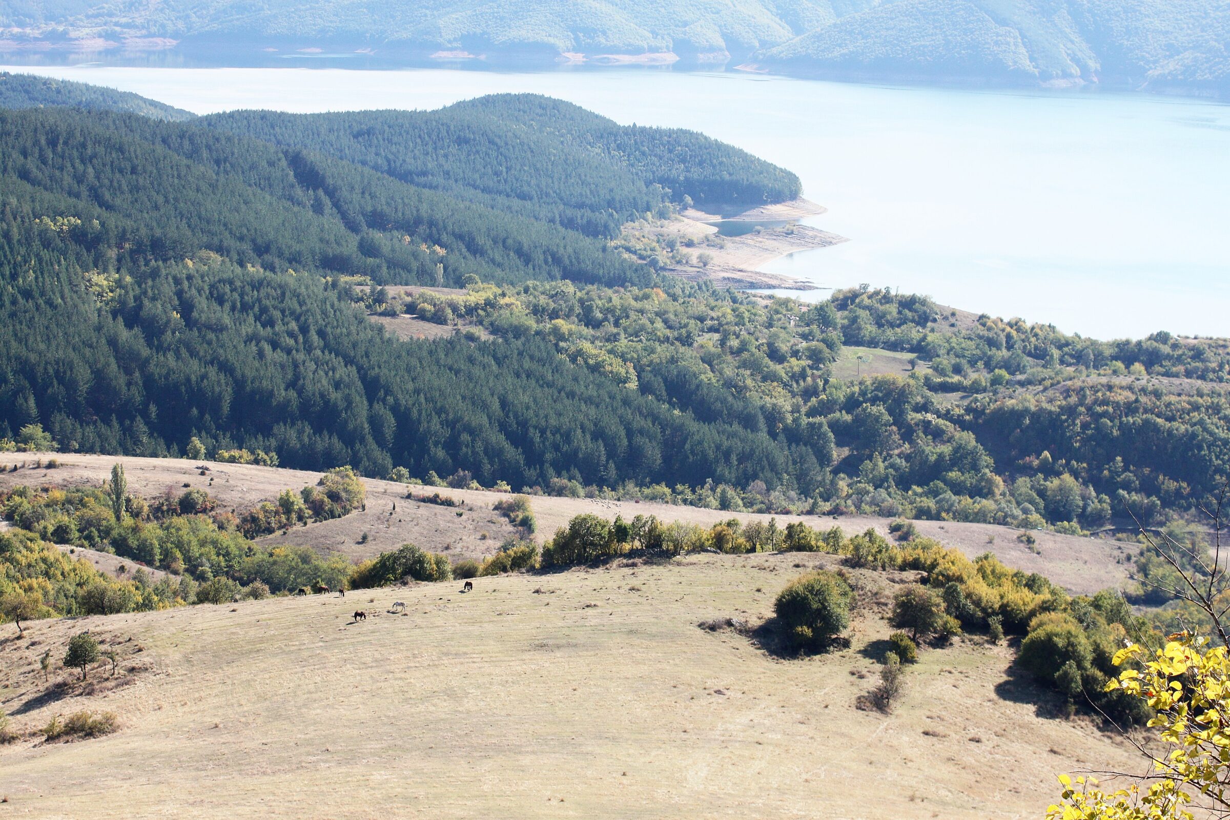
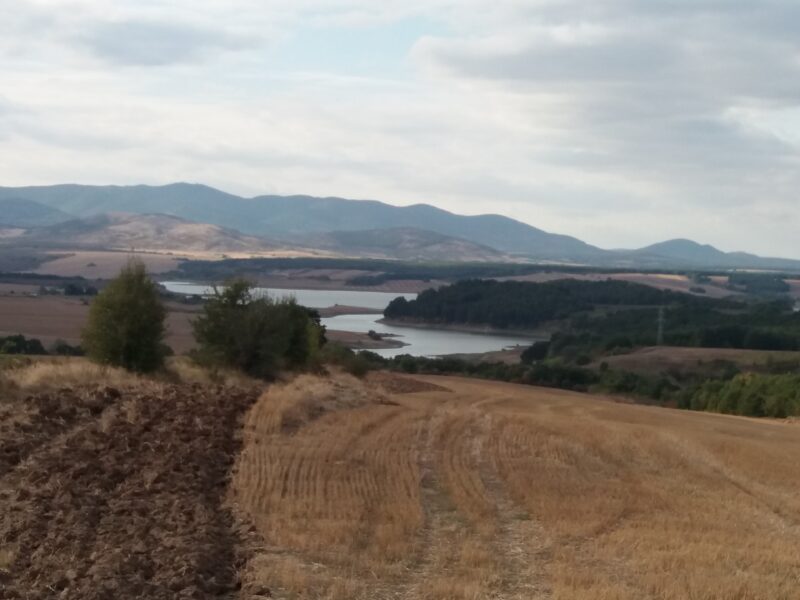
Kardzhali Reservoir is an artificial lake and hydroelectric dam on the Arda river in the eastern Rhodope Mountains in southern Bulgaria. It is the uppermost of the three major reservoirs of the Arda Hydropower Cascade, with Studen Kladenets and Ivaylovgrad below it, and the second largest reservoir in the country by volume after the Iskar. The river Borovitsa, an important tributary of the Arda, flows into its western part, and its dam stands about a kilometre west of the town of Kardzhali.
How it formed
The main works ran from 1957 to 1963, but the rock under the wall gave trouble, with weak schist and faults in the left slope, and building went on until 1976. Partial filling began in 1970, and the reservoir was officially opened in 1977. The dam, 103.5 m high and 344 m along the crest, is the only arch-gravity dam in Bulgaria and the third highest in the country. The lake is about 20 km long, and it serves power generation, industry in Kardzhali and irrigation.
History
Along the shores stand the ruins of the medieval Patmos fortress, the best preserved of several here, on a peninsula that splits the water into two arms. The horseshoe meander of Zavoya is also on the lake.
Gallery
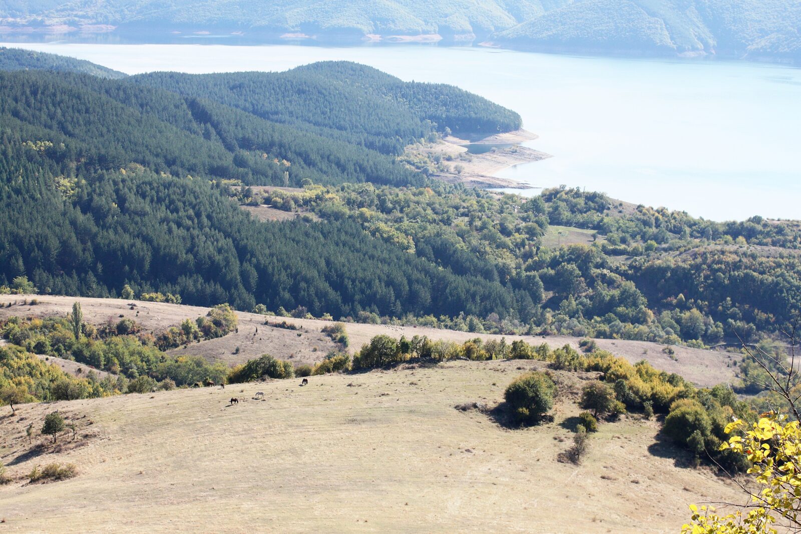 Photo: Bin im Garten · CC BY-SA 3.0
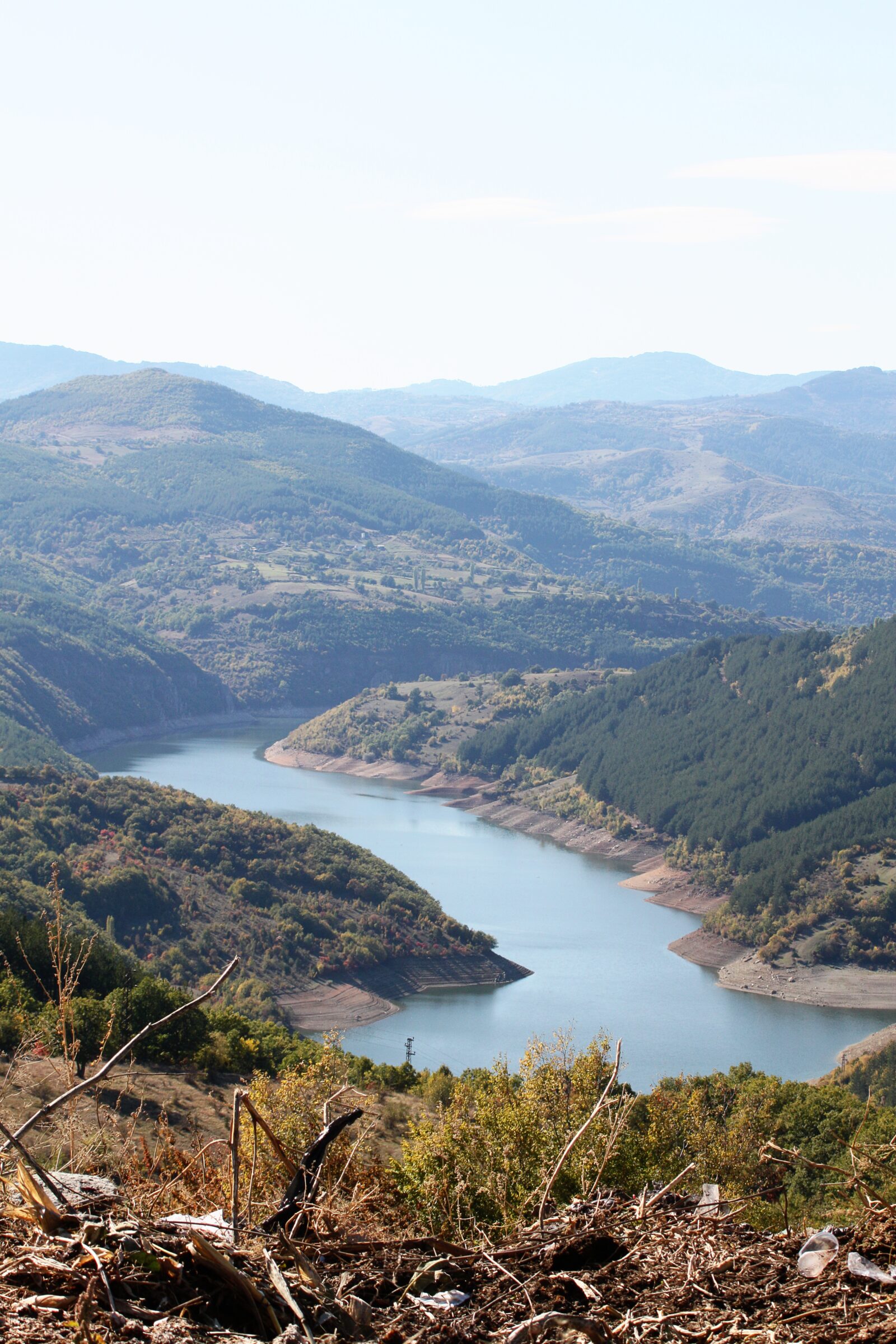 Photo: Bin im Garten · CC BY-SA 3.0
Visit
Getting there
Nearest settlement: Kardzhali
Swimming
No reliable information
Tips
The lake lies less than a kilometre from the town of Kardzhali, by the I-5 road, and the dam wall has a wide view over part of the lake and the town. June to August is the main season. Boats can be hired, with boat trips, fishing trips and restaurants on the water, and its large bays, peninsulas and meadows suit a day out. Rowers train at a base here, and competitions are held regularly. There are hotels and guesthouses near the shore, among them the Glavatarski Han.
For views, go to Halkata (“the Ring”), a rock with a large gap in the middle, or to Bezdiven peak above the Patmos fortress. Perperikon is about 18 km away; check its opening hours separately.
Nearby lakes
Show on map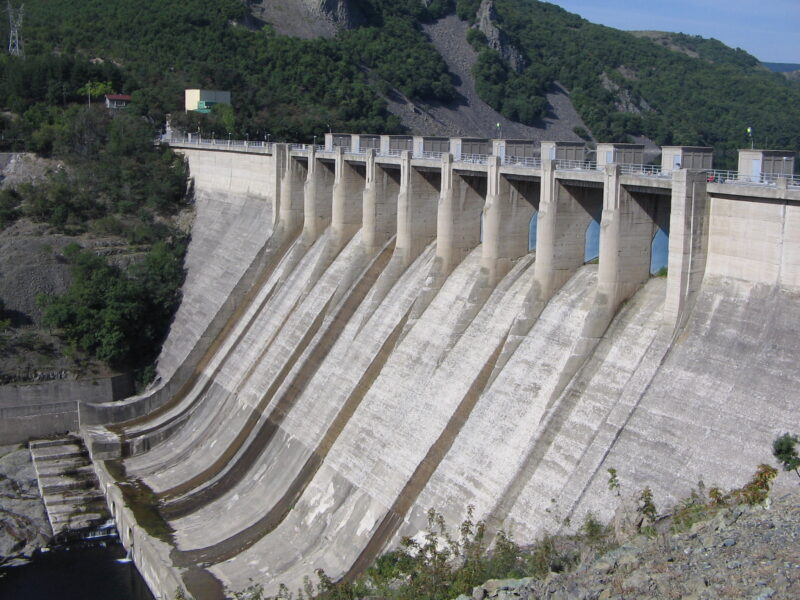


Know Kardzhali Reservoir well?
Suggest a beach, viewpoint, trail or amenity, or tell us if something has changed. We read every message.
Sources & data
- Bulgaria's 2022 Water Framework Directive reporting to the EEA: lake (LW) and transitional (TW) water bodies, field cArea, European Environment Agency (WISE WFD), reported by Bulgaria, 2022
- OpenStreetMap: яз.Кърджали (relation 9033080), OpenStreetMap contributors
- Wikidata: Kardzhali Reservoir (Q6369169), Wikimedia Foundation
- English Wikipedia: Kardzhali Reservoir, Wikimedia Foundation
- Kardzhali Reservoir, Bulgaria Guide
- Bulgarian Wikipedia: Кърджали (язовир), Wikimedia Foundation