 Photo: Dedy · Public domain
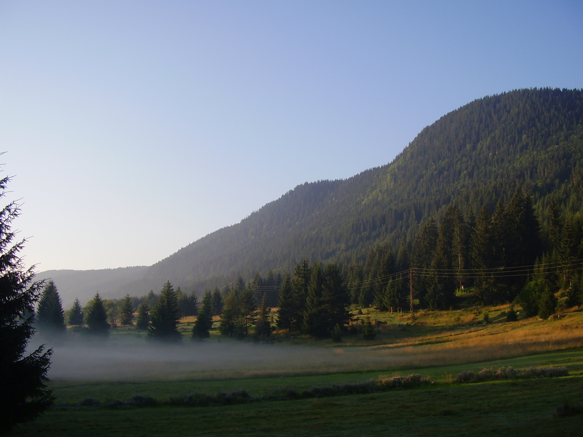
Photo: Paffka · CC BY-SA 3.0
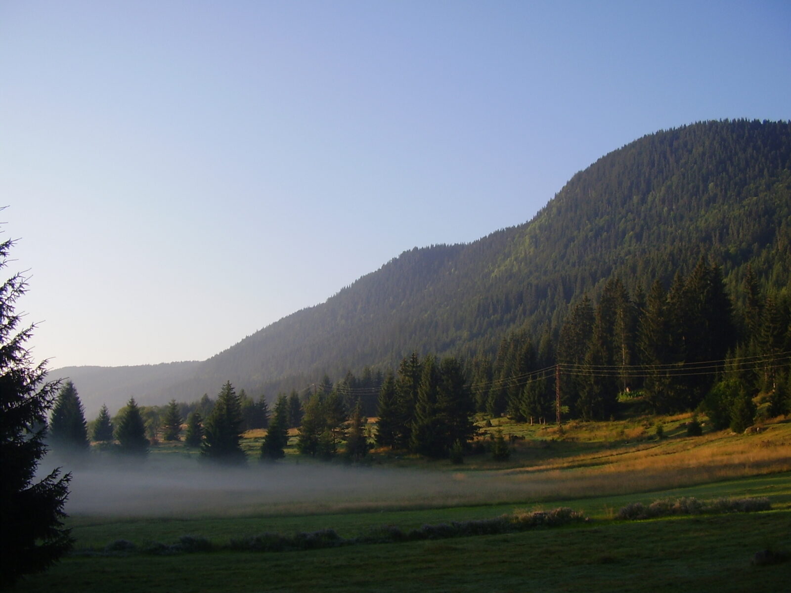
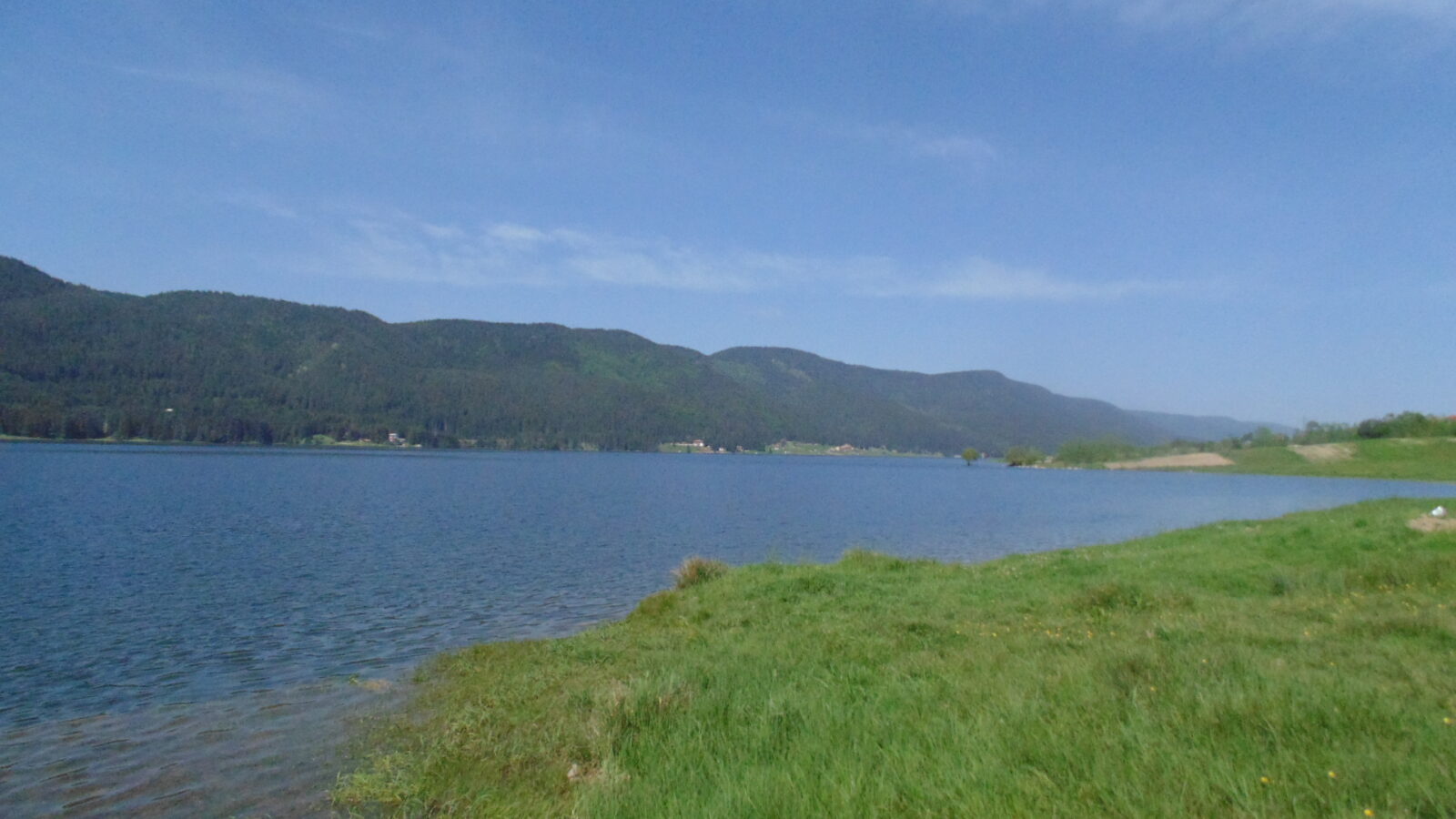
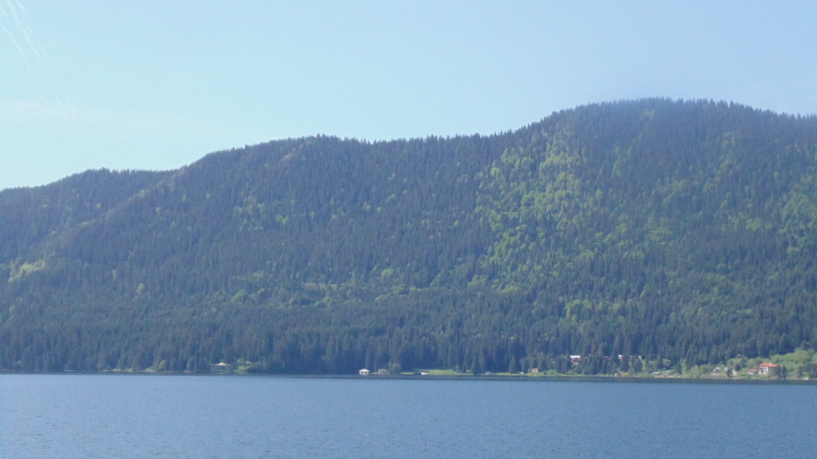
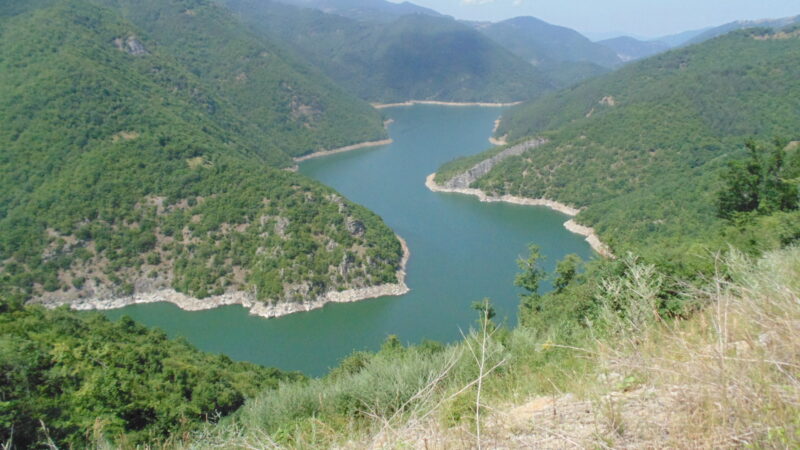
The Dospat Reservoir lies in the western part of the Rhodope Mountains in Bulgaria. A dam at the town of Dospat forms it, and the lake stretches north-west towards Sarnitsa, fed by the Dospat river. It is one of the highest dams in Bulgaria by altitude and the second largest by capacity. It was built for hydroelectricity as part of the Dospat–Vacha Hydropower Cascade, though there is no power plant at the dam itself: the water is taken to the Teshel plant and on to the Devin plant and the Vacha river.
How it formed
The dam, a rockfill wall with a clay core, 60.5 m high and only 230 m long, was built just above the town of Dospat between 1963 and 1968. The lake lies at about 1,200 m and is about 19 km long and up to 3 km wide. Canals bring in extra water from the upper streams of tributaries of the Mesta, and the lake can only be drawn down through the outlets to the Teshel power plant.
History
The valley was fertile grain land, and workers from the surrounding villages used to be hired for its harvests. The lake took the villages of Orlino on the west bank and Bardache on the east, along with part of Krushata. During the Second World War a military airfield stood on land that Orlino later lost to the water.
Gallery
Visit
Getting there
Nearest settlement: Dospat
Swimming
No reliable information
Tips
The scenic road between Dospat and Sarnitsa follows the north-eastern shore, and its wooded banks have meadows that suit picnics and camping. From Smolyan it is roughly 1–1.5 hours on narrow, winding roads. Facilities are basic, so bring supplies, and repellent helps in the warm months.
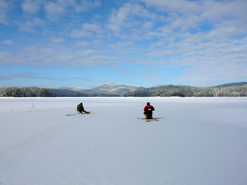
This is a centre of sport fishing, for carp, trout, chub, perch, roach and crucian carp, from lure spinning to fly fishing, and trout are reared in cages in the lake. Check local rules and permits. Local operators rent boats in summer, and the forest roads along the shores can be driven. Summer is for boating and fishing, spring and autumn for cooler walks.
Nearby lakes
Show on map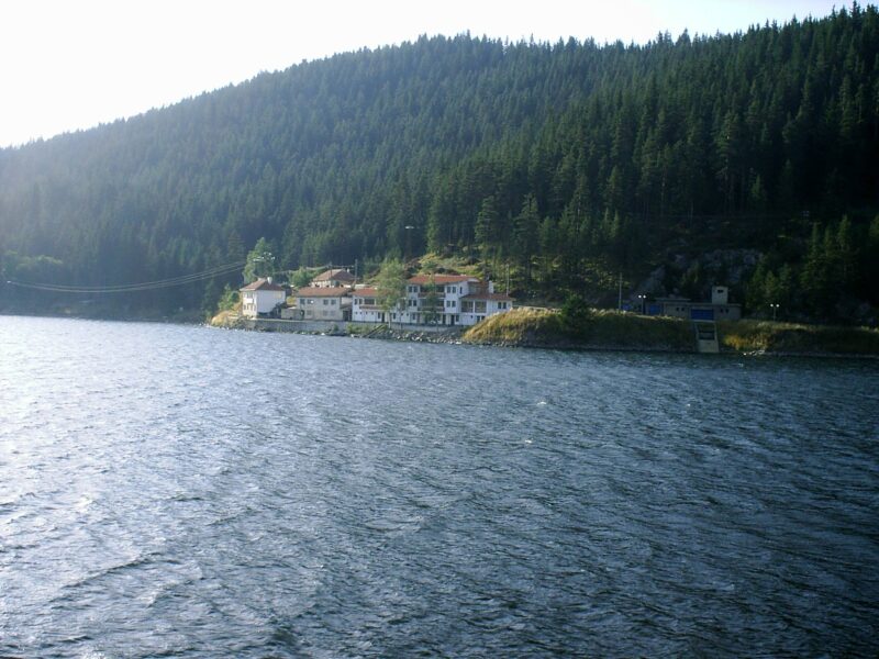


Know Dospat Reservoir well?
Suggest a beach, viewpoint, trail or amenity, or tell us if something has changed. We read every message.
Sources & data
- Bulgaria's 2022 Water Framework Directive reporting to the EEA: lake (LW) and transitional (TW) water bodies, field cArea, European Environment Agency (WISE WFD), reported by Bulgaria, 2022
- OpenStreetMap: яз. Доспат (relation 3935023), OpenStreetMap contributors
- Wikidata: Dospat Reservoir (Q3623605), Wikimedia Foundation
- English Wikipedia: Dospat Reservoir, Wikimedia Foundation
- 5 dams around Plovdiv for fishing and cooling, Lost in Plovdiv
- Bulgarian Wikipedia: Доспат (язовир), Wikimedia Foundation