 Photo: Chech Explorer · CC BY-SA 3.0
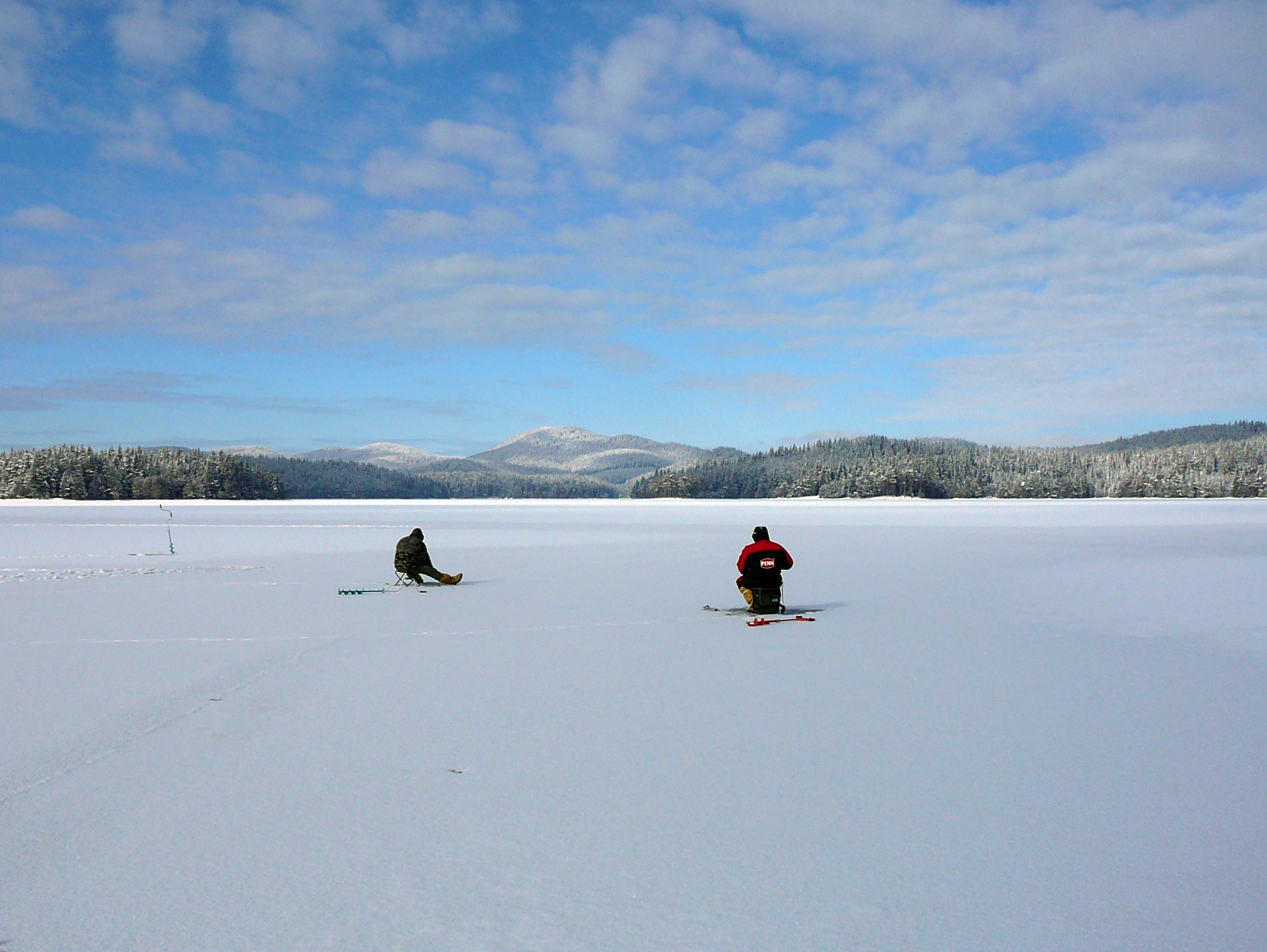
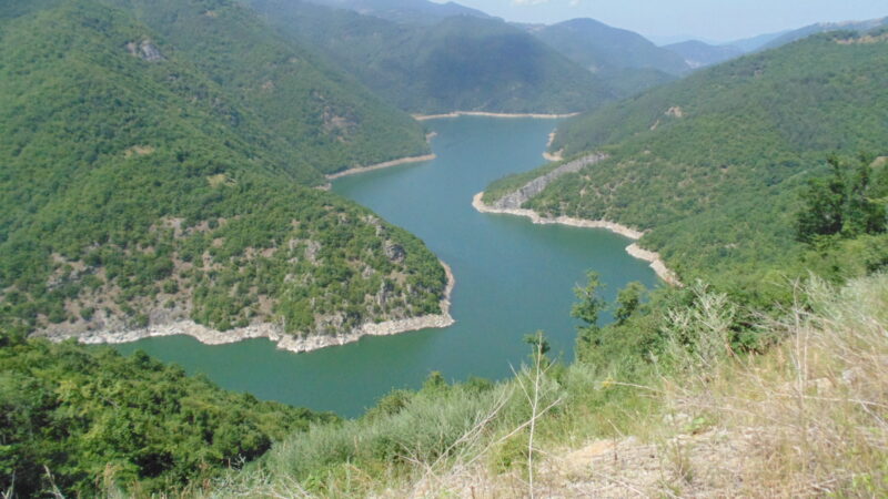
Photo: Dedy · Public domain
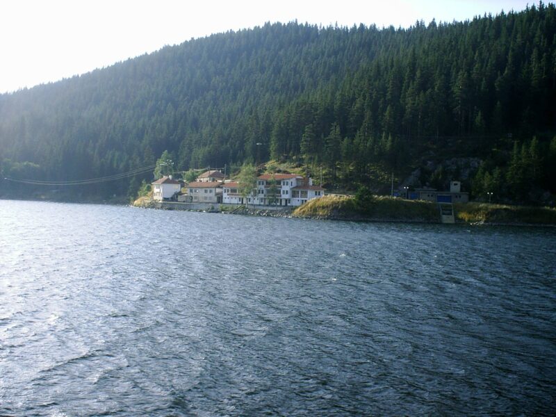
Shiroka Polyana is a reservoir in the Western Rhodope Mountains of southern Bulgaria, whose water is used for electricity and irrigation. It lies on the road to Dospat, with no settlements nearby, amid old-growth coniferous forests and surrounded by protected areas named Shiroka Polyana, Studenata Chuchurka and Kaval Tepe. Because of its scenic location and abundance of fish it is a popular tourist destination.
How it formed
Built in 1959–1962 in a former pasture valley, the lake is the centre of a hydro scheme that gathers water from the upper Dospat and Vacha. The dam on the Kireeva river is a concrete wall about 21 m high, the tallest of five walls that hold the lake in. Three smaller reservoirs feed it, Dzhenevra, Karadzha Dere and Blatoto, and a tunnel links it to Golyam Beglik. The water goes to power generation and to irrigation in the Pazardzhik–Plovdiv plain.
Nature
Pine forest surrounds most of the shore. Fish include chub, rainbow and Balkan trout, barbel, carp, catfish and grass carp, though the more prized species are now scarce.
Gallery
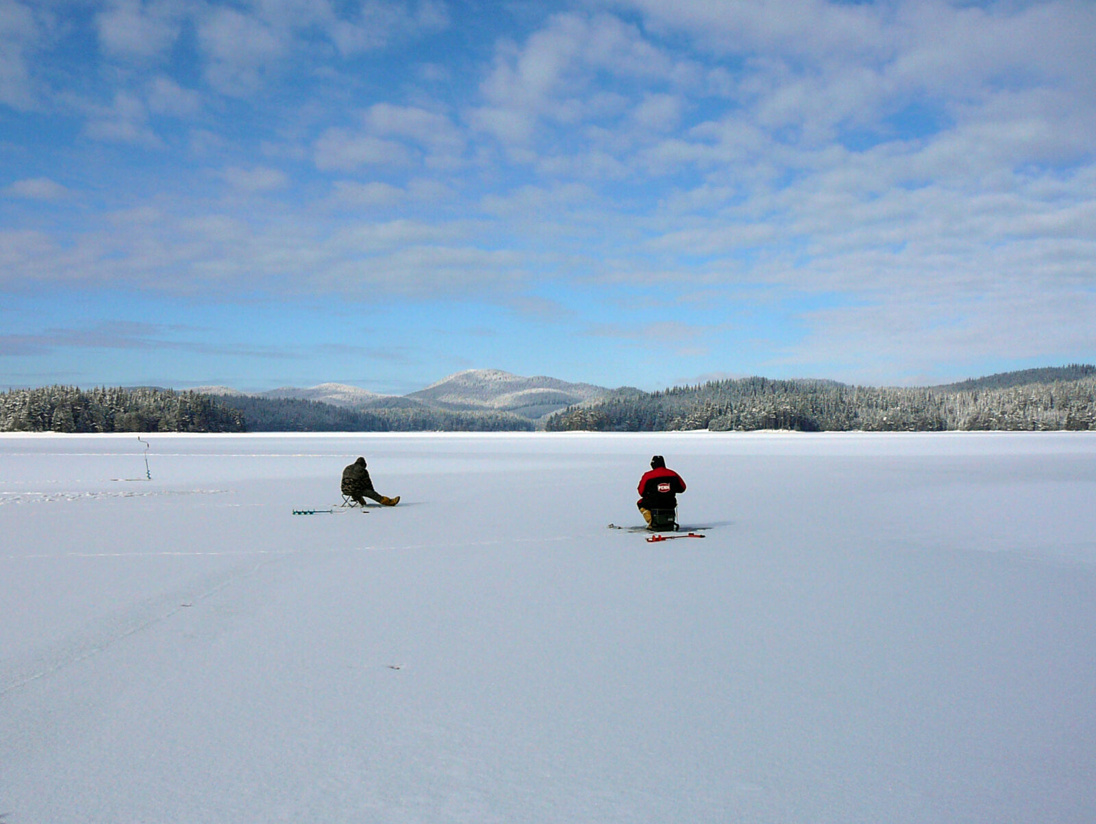 Photo: Dedy · Public domain
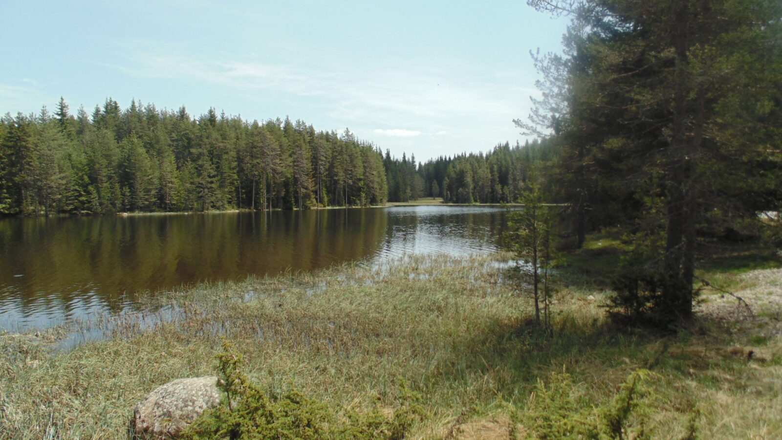 Photo: Izvora · CC BY-SA 4.0
Visit
Getting there
Nearest settlement: Shiroka Polyana
Swimming
No reliable information
Tips
The lake lies about 30 km south of Batak, 46 km from Peshtera and 20 km from Dospat. The dam is on the road to Dospat, where you can pull over, but much of the shore is far from any road and fairly hard to reach. Supplies are limited, with a small shop near the forestry buildings on the western shore. In high summer it can be hard to find a free spot to camp.
It is cool even in July, and nights and mornings can be cold. The Eagle’s Eye (Orlovo Oko) viewpoint is a popular side trip, two hours on foot or 30 minutes by jeep.
Nearby lakes
Show on map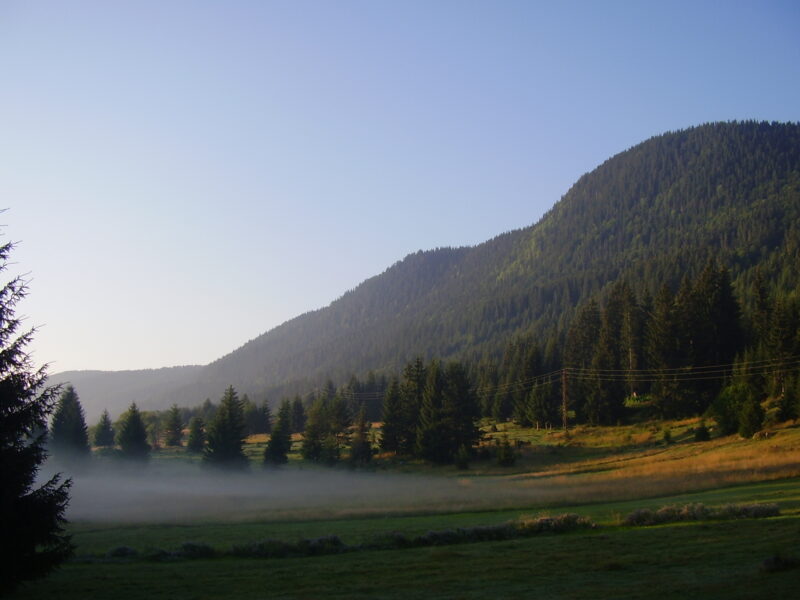


Know Shiroka Polyana Reservoir well?
Suggest a beach, viewpoint, trail or amenity, or tell us if something has changed. We read every message.
Sources & data
- Bulgaria's 2022 Water Framework Directive reporting to the EEA: lake (LW) and transitional (TW) water bodies, field cArea, European Environment Agency (WISE WFD), reported by Bulgaria, 2022
- OpenStreetMap: яз. Широка поляна (relation 8440322), OpenStreetMap contributors
- Wikidata: Shiroka Polyana (Q7498920), Wikimedia Foundation
- English Wikipedia: Shiroka Polyana, Wikimedia Foundation
- Shiroka Polyana Reservoir, Bulgaria Guide
- Bulgarian Wikipedia: Широка поляна (язовир), Wikimedia Foundation
- 5 dams around Plovdiv for fishing and cooling, Lost in Plovdiv