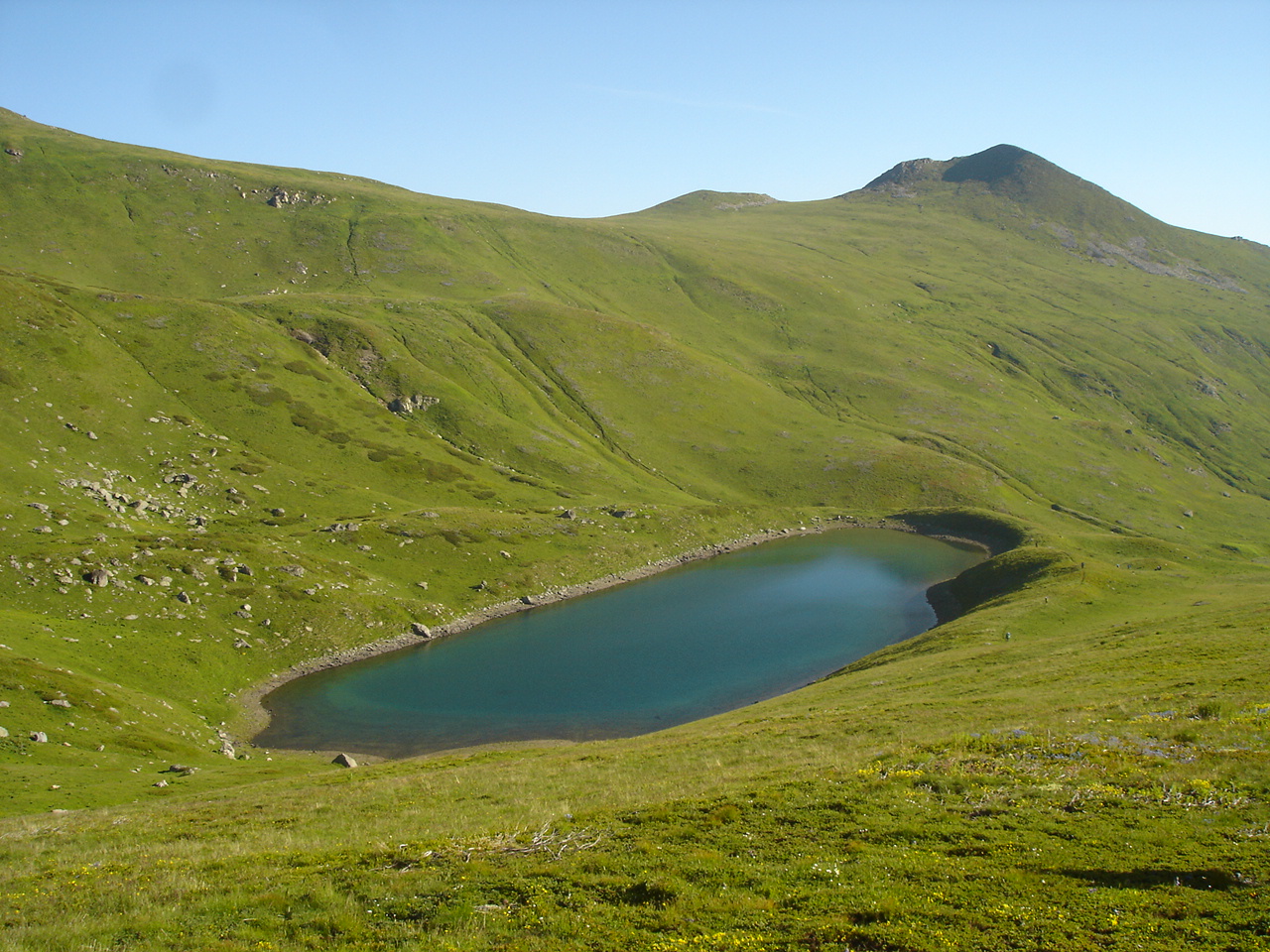
Photo: Македонец · CC BY-SA 4.0
Golemo Karanikoličko Ezero, also called Golem Gjol, is the first and largest of the three glacial Gjol lakes of the Šar Mountains and the largest cirque lake on the range, north-west of Tetovo below the peak of Karanikola. Long and narrow, with steep banks and rocky cliffs around it, it runs north to south, and its water looks dark blue to greenish.
How it formed
The lake has no tributaries: underwater springs feed it, and it rises in spring. The Karanikolska river flows out of it. Directly to the west, in a cirque below Skarpa and Guri Šeremetica, lies Mal Gjol, a small, rocky-basined lake with meadow around it, which never dries up.
Nature
Shepherds from the villages below still bring their flocks up here. The water is lukewarm for this height, and the livestock affect its clarity.
Visit
Swimming
No reliable information
Tips
Hiking paths start from the village of Vešala, above Tetovo. The usual route to the lake and Golem Gjol is about 7 km one way, with some 1,200 m of climbing and about three and a half hours on the way up; it is a demanding walk. Trails go on to the peaks of Karanikola, Skarpa and Guri Šeremetica.
The weather can turn harsh at this height, so come prepared. A longer day of about 12 km links the lakes with a descent to Vešala, with views over the Lešnica valley.
Nearby lakes
Show on map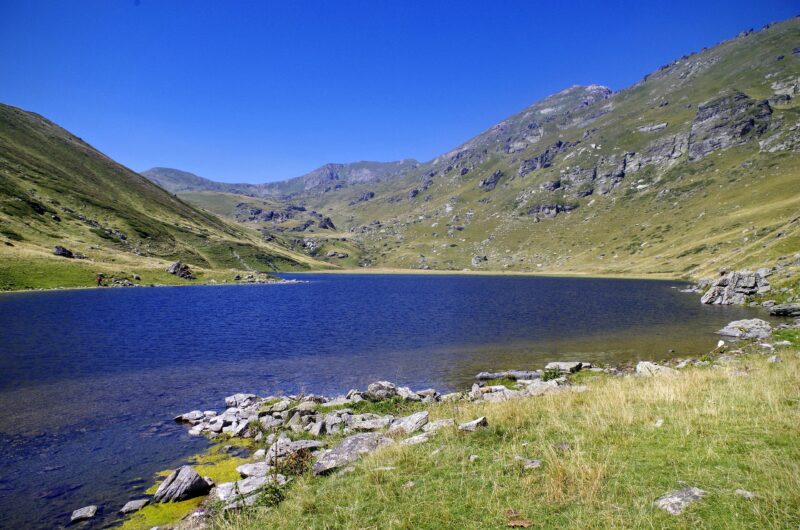


Know Golemo Karanikoličko Ezero well?
Suggest a beach, viewpoint, trail or amenity, or tell us if something has changed. We read every message.
Sources & data
- OpenStreetMap: Големо Караниколичко Езеро (way 429356798), OpenStreetMap contributors
- Macedonian Wikipedia: Караниколичко Езеро, Wikimedia Foundation
- Wikidata: Karanikola Lake (Q12905767), Wikimedia Foundation
- Village Veshala – Peak Karanikola – Peak Skarpa + Karanikola Lake, Turni Medaki Nisam
- Sharr highlights, part 2, Macedonia Travel
- Karanikola Lake, Aroundus