

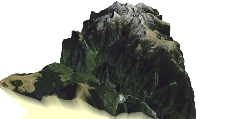
 Photo: Asybaris01 · Public domain
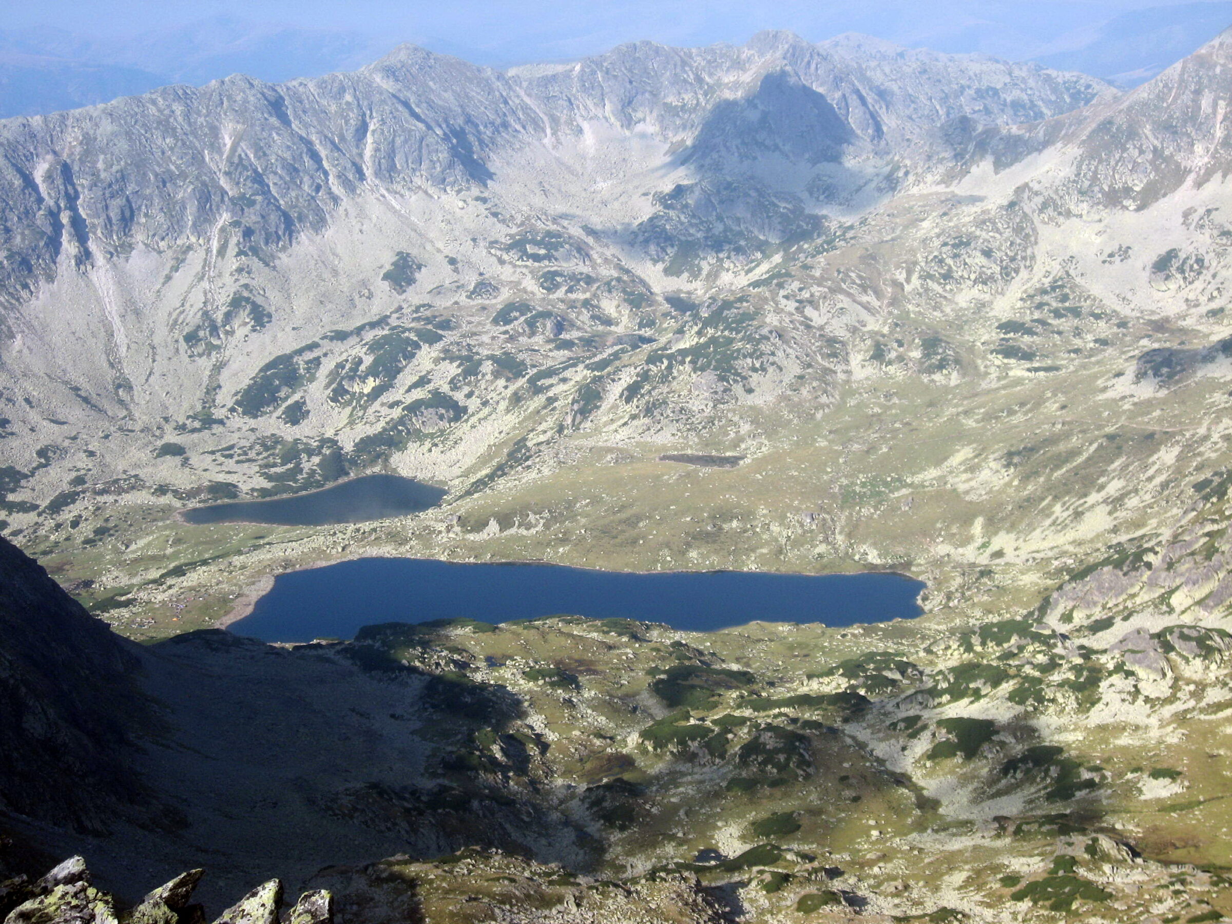
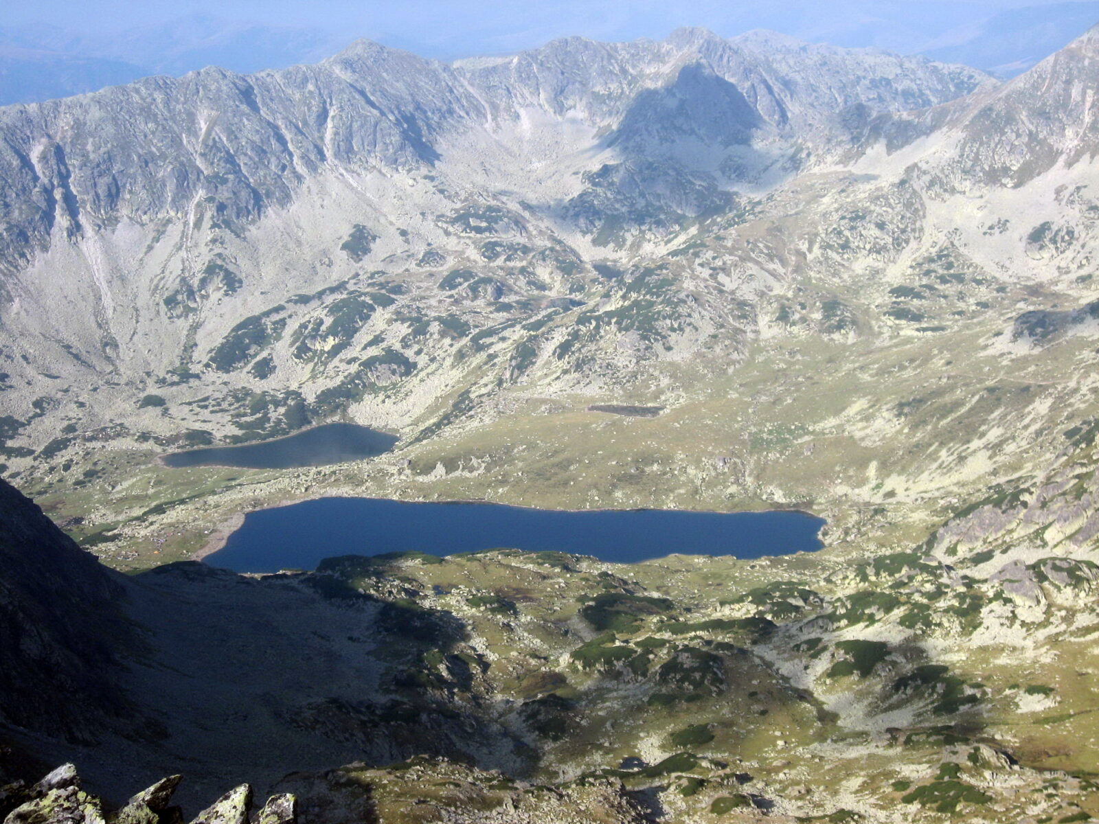
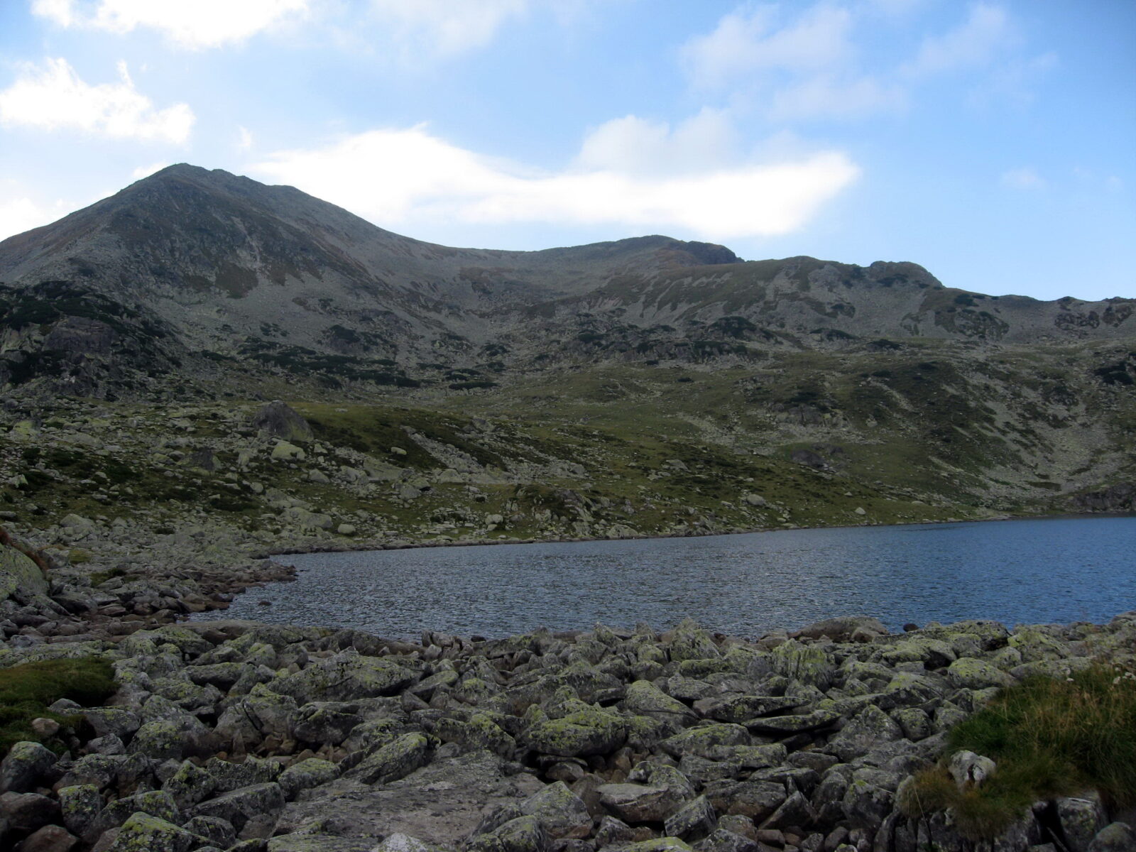
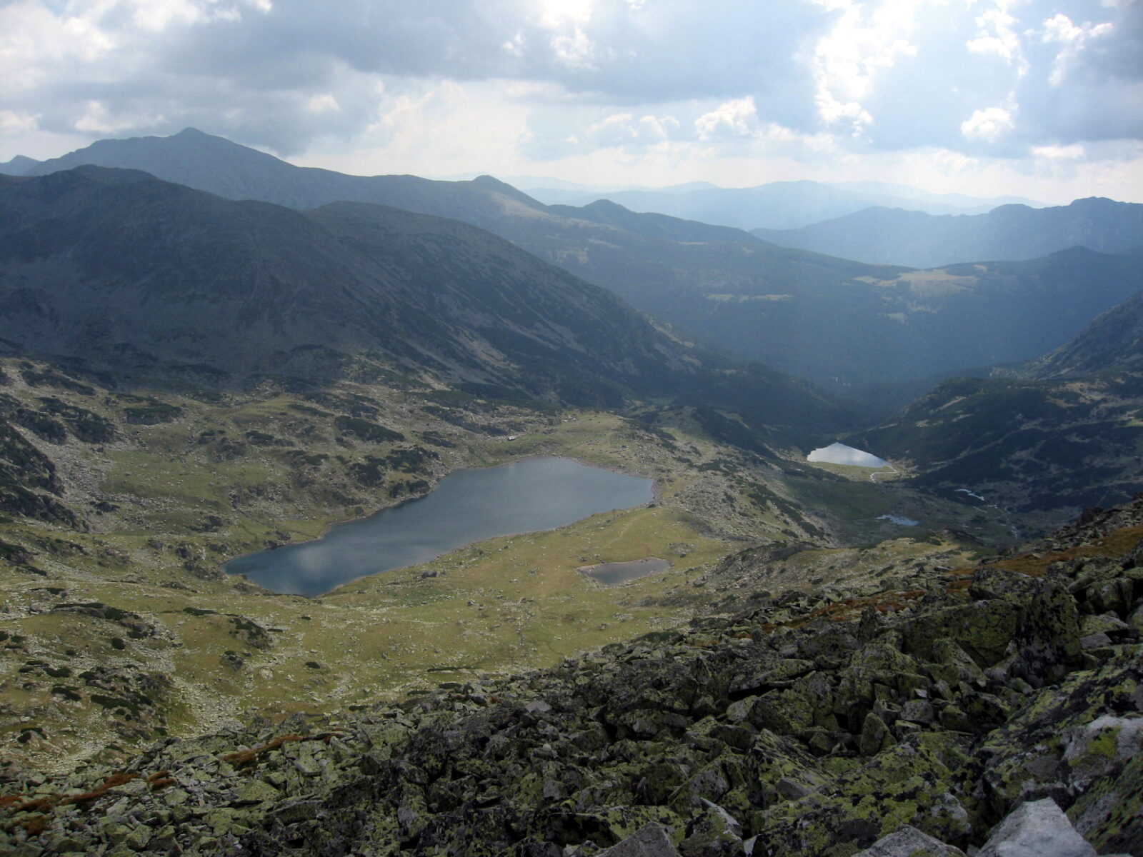
Lake Bucura is a glacial cirque lake in the Retezat Mountains of the Southern Carpathians in Romania, a lake that fills a bowl carved out by a glacier. It lies south of the main ridge, at the foot of Peleaga Peak, and it is the largest glacial lake in the country. Long and narrow in shape, it lies at a high altitude.
How it formed
Bucura is a cirque lake: it fills a bowl cut into the mountain by a glacier. It lies south of the main ridge of the Retezat range, at the base of Peleaga Peak.
History
The Retezat lakes have long drawn hikers. In the 19th century the mountains were a hunting ground for princes and nobles of the Austro-Hungarian Empire, and early in the 20th century the geologist Lajos Lóczy and his students made the first surveys of the lakes, mapping the depths of Bucura and Zănoaga.
In the 1930s the scientists Alexandru Borza and Emil Racoviță campaigned for nature reserves, and in 1935 the government set aside about 100 km² of the range as Romania’s first national park. Local legend has an older story: giants dug these stone basins with their arms, and drank from them after their battles.
Nature
The lake lies inside Retezat National Park, a UNESCO biosphere reserve since 1979. Even in summer the water is cold, about 14 °C at the surface and 10 °C at the bottom.
The high ground around it is the place to look for chamois and marmots. The marmots were brought to the park’s Gemenele reserve in 1973 and have since spread. The park as a whole has about 1,190 plant species and 55 mammals, among them brown bears, wolves and lynx, as well as nearly 200 bird species.
Gallery
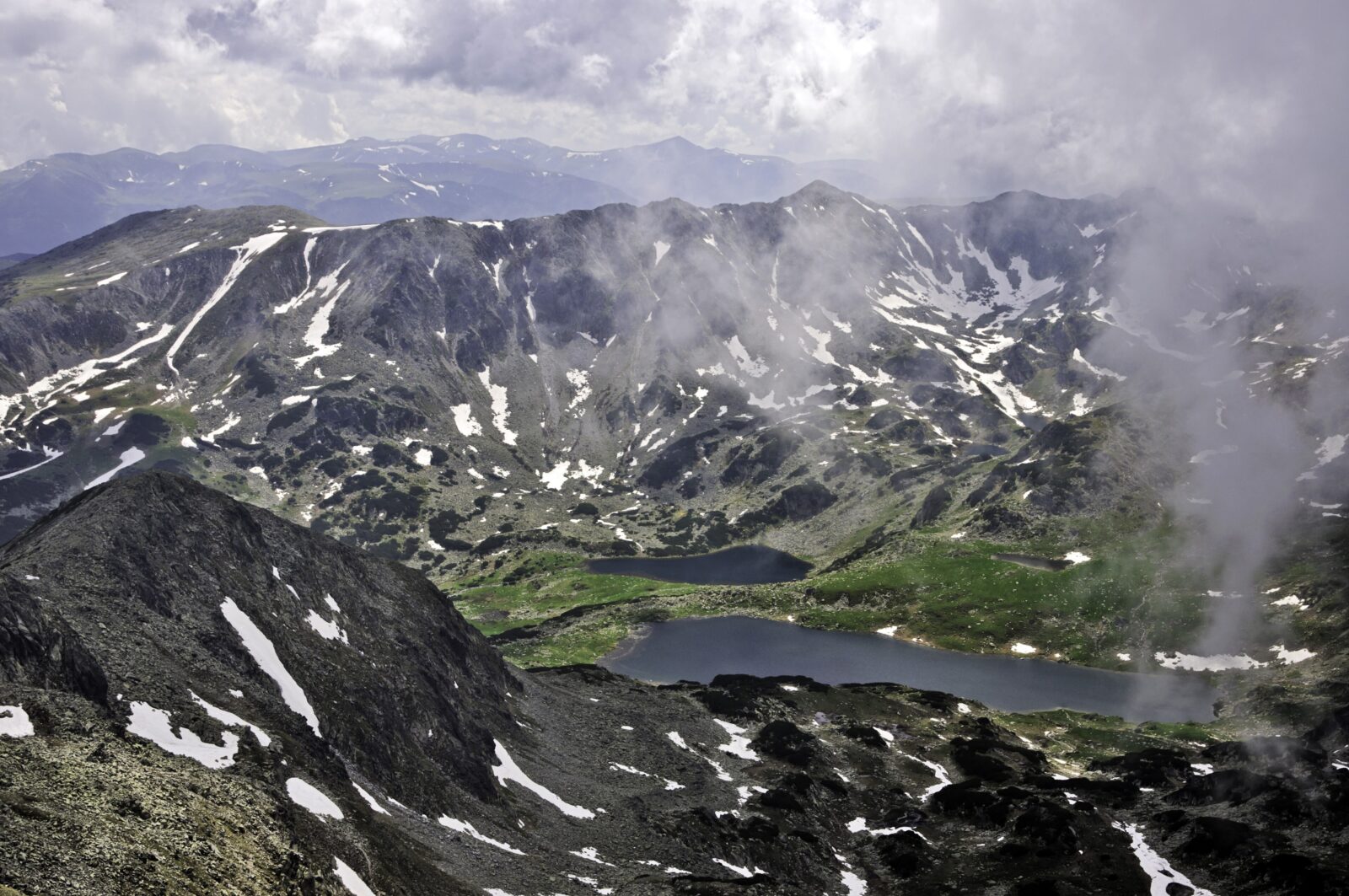 Photo: Horia Varlan · CC BY 2.0
Visit
Swimming
No reliable information
Tips
Lake Bucura lies in Retezat National Park, so the park’s rules apply, and the mountain is high, so check the weather and trail conditions first.
Getting there
The usual way is from Cabana Pietrele, the hub of tourism in the Retezat massif; the walk to the lake is moderate to strenuous, past wildflowers and marmots, with views of the ridge. A loop of about 13.6 km with roughly 1,030 m of climbing, from Pietrele past Lake Bucura and Lake Pietrele, is rated hard, and so is the route from Bucura to Peleaga peak and back. Another section, from the lake through the Poarta Bucurei towards Retezat peak, is rated medium (3.9 km, 2–2.5 hours) and is dangerous in winter.
Staying
The old Pietrele hut burned down in February 2007, and the site now has bungalows and a campsite; Cabana Gențiana stands nearby at 1,670 m. Camping is allowed only at Bucura lake and in Poiana Pelegii.
Nearby lakes
Show on mapPhoto: Asybaris01 · Public domain
Guides
All guides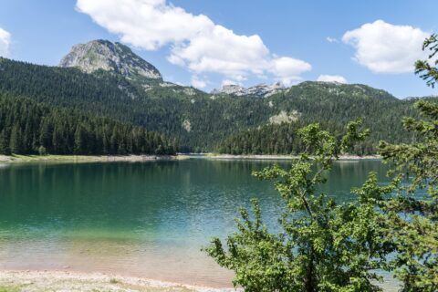
The most beautiful mountain lakes in the Balkans
Glacial lakes, high tarns and big mountain scenery: seven Balkan mountain lakes with hiking routes, difficulty, elevation, walking times, access points and the best season to go.
Know Lacul Bucura well?
Suggest a beach, viewpoint, trail or amenity, or tell us if something has changed. We read every message.
Sources & data
- Romania's 2022 Water Framework Directive reporting to the EEA: lake (LW) and transitional (TW) water bodies, field cArea, European Environment Agency (WISE WFD), reported by Romania, 2022
- OpenStreetMap: Lacul Bucura (way 169861014), OpenStreetMap contributors
- Wikidata: Bucura Lake (Q851764), Wikimedia Foundation
- English Wikipedia: Bucura Lake, Wikimedia Foundation
- Retezat: Pietrele and Lacul Bucura, Welcome to Romania
- Bucura (SummitPost), SummitPost
- Cele 7 minuni din Munții Retezat, Adevărul
- A Kárpát-medence természeti értékei (2004), Hungaricana
- Alpine lakes of Retezat Mountains, SummitPost
- English Wikipedia: Retezat National Park, Wikimedia Foundation
- Excursie în cel mai vechi parc din țară, Adevărul
- Lacul Bucura, Geocaching