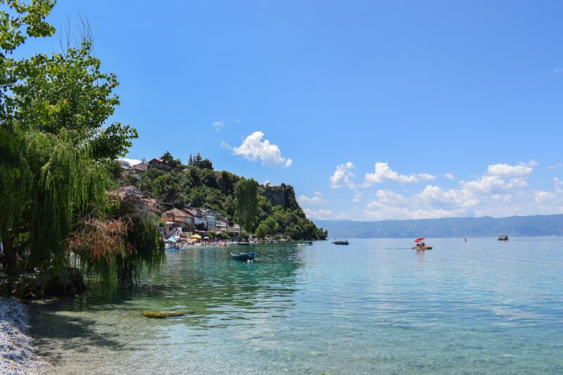
Some lakes you drive to. These you earn. Scattered across the high Balkans are the tarns and glacial lakes that locals call mountain eyes: small, deep, startlingly blue bowls of water left behind when the ice retreated, sitting in cirques below bare ridges and snow patches that linger into July. Here are seven of the best, with the practical details you need to walk up to them.
How to read the hiking notes
Easy means a path most walkers can manage in ordinary trainers. Moderate means steady climbing for a few hours, so wear boots and carry water and a warm layer. Hard means a long, steep day where fitness, good boots and an early start matter. Walking times are for one way and a medium pace unless we say otherwise, and snow can close the higher routes well into June.
The Seven Rila Lakes: the easiest big view in the Balkans
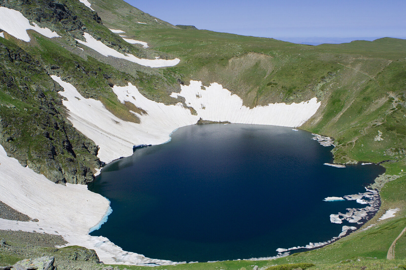
Start here if you have never walked to a glacial lake. The Seven Rila Lakes lie one above the other in the north-west of the Rila mountains in Bulgaria, joined by little streams and cascades, and each has a name for what it looks like: the Tear, the Eye, the Kidney, the Twin, the Trefoil, the Fish and the Lower Lake. Salzata, the Tear, is the highest and so clear you can look deep into it. Okoto, the Eye, is almost perfectly oval and the deepest cirque lake in the country.
A chairlift does the worst of the climbing, and that is the reason the trail is the most visited in Bulgaria. It carries you from Panichishte, at about 1,520 m, to the Rila Lakes hut at roughly 2,100 m in 20 to 40 minutes. From the hut the circuit past all seven lakes takes about 3.5 to 4 hours, and the viewpoint on Lake Peak is the only place from which you can see all seven at once. If you would rather skip the lift, plan on around an hour and a half each way on foot.
- Elevation
- The lakes lie between about 2,100 and 2,535 m.
- Difficulty
- Easy to moderate with the lift; the longer circuit from Skakavitsa is hard (about 18 km with 1,000 m or more of climbing).
- Walking time
- About 3.5 to 4 hours for the circuit from the hut, up to 6 if you linger.
- Starting point
- Panichishte, by the chairlift, reached by road via Sapareva Banya. The lift saves most of the climb.
- Best season
- July to September. The lakes stay frozen and out of reach for most walkers from about November to late June.
- Mind this
- Weekends are crowded, so arrive early. The lift may stop in strong wind or for maintenance, usually in October; check hours and prices before you go.
If you have the time, split the walk and sleep at the hut. The lakes empty out in the evening and the light on the cirque walls at sunrise is the picture you will keep.
Full profile: Seven Rila Lakes
Black Lake and the lakes of Durmitor: a whole plateau of mountain eyes
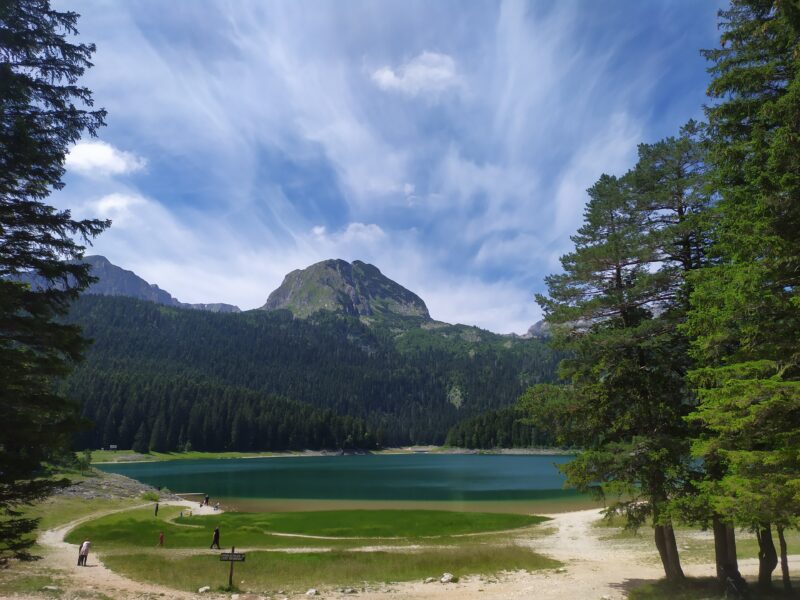
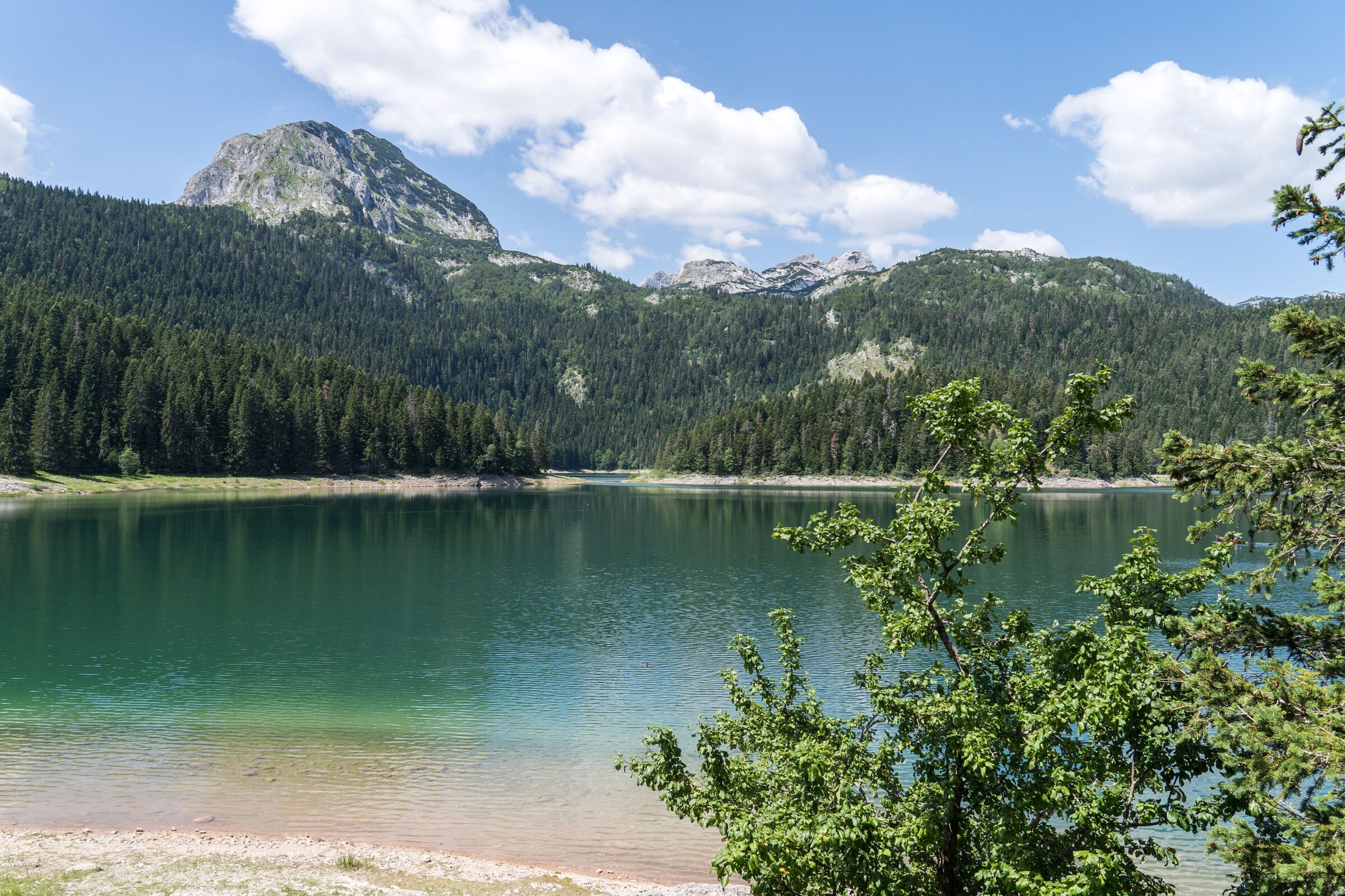
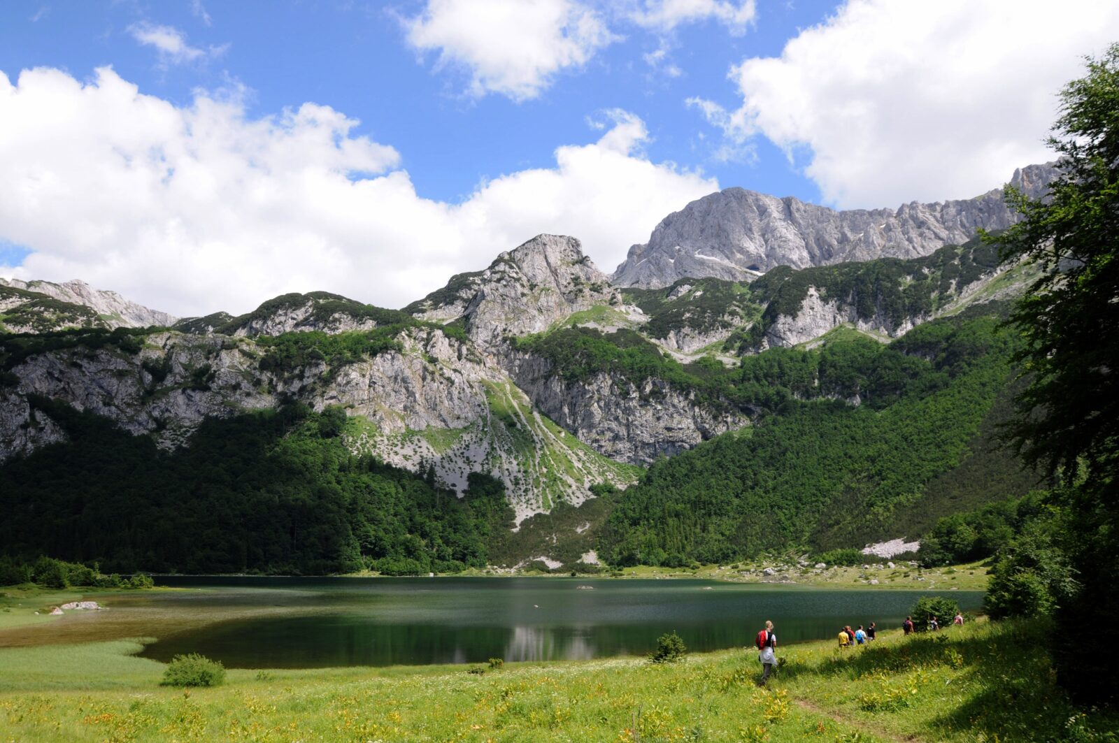
Durmitor in Montenegro is generous. Around 18 glacial lakes are scattered over its high plateau, and you can see the most famous of them with a gentle forest stroll. Black Lake sits at about 1,416 m at the foot of Međed peak, only about 3 km from the town of Žabljak. It is really two lakes, the Big and the Little, joined by a strait that dries up in summer. A path circles the whole shore, and a loop of about 7 km is flat enough for families.
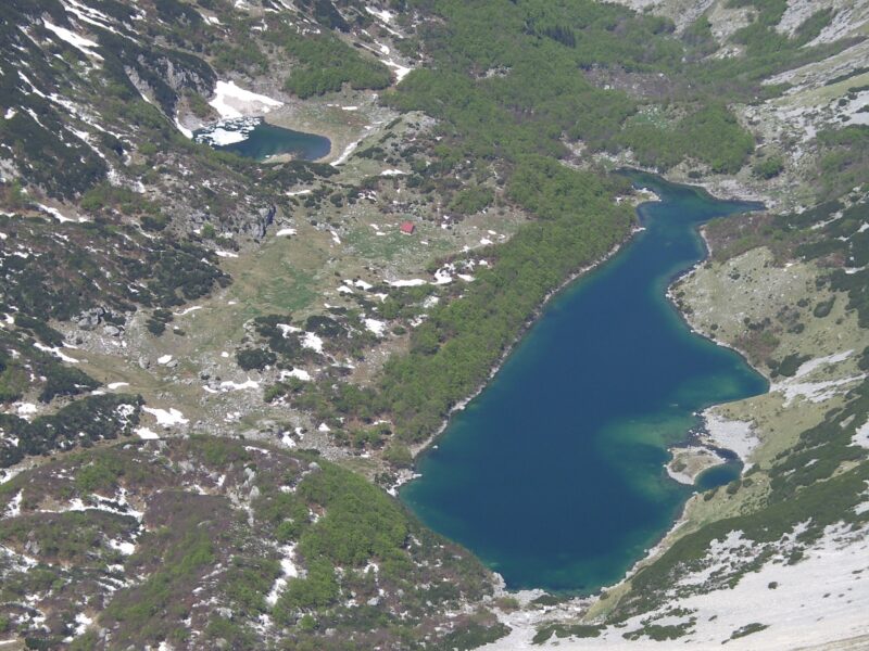
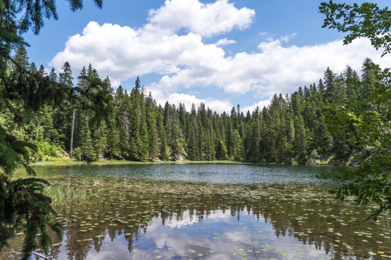
For something wilder, walk on. The small, forest-ringed Zminje jezero is about an hour beyond Black Lake on trail number 102, past old watermills, and the glacial Jablan Jezero is about an hour and a half beyond the lake. The big prize is the Škrčka lakes, in a huge cirque in the heart of the massif: a full day of about 12 to 13 km and some 7 hours, starting at the Dobri do trailhead at Šarban (about 40 minutes by car from Žabljak) and crossing a pass or the shoulder of Prutaš before dropping steeply into the basin. A basic park-run hut stands between the two lakes.
- Elevation
- Black Lake is at about 1,416 m; the Škrčka lakes lie higher in their cirque.
- Difficulty
- Black Lake loop: easy. Zminje jezero: easy to moderate. Škrčka lakes: hard, with a steep climb back out.
- Walking time
- Black Lake loop: a leisurely couple of hours. Škrčka: about 7 hours for the full day.
- Starting point
- Black Lake is a 40-minute walk from Žabljak, and most Durmitor trails start there. The Škrčka route starts at Šarban.
- Best season
- Summer for walking and swimming in the cool water; in winter the lake belongs to cross-country skiers.
- Mind this
- Durmitor is a national park with its own tickets and rules, so check them before you go. Take good boots for Škrčka.
The park is home to bears and wolves, though they avoid busy places. You are far more likely to meet deer, otters and owls, and a lot of other walkers around Black Lake itself, where stalls along the path sell local produce and herbal teas.
Full profile: Veliko Škrčko jezero
Pelister's Eyes: Golemo Ezero and Malo Ezero
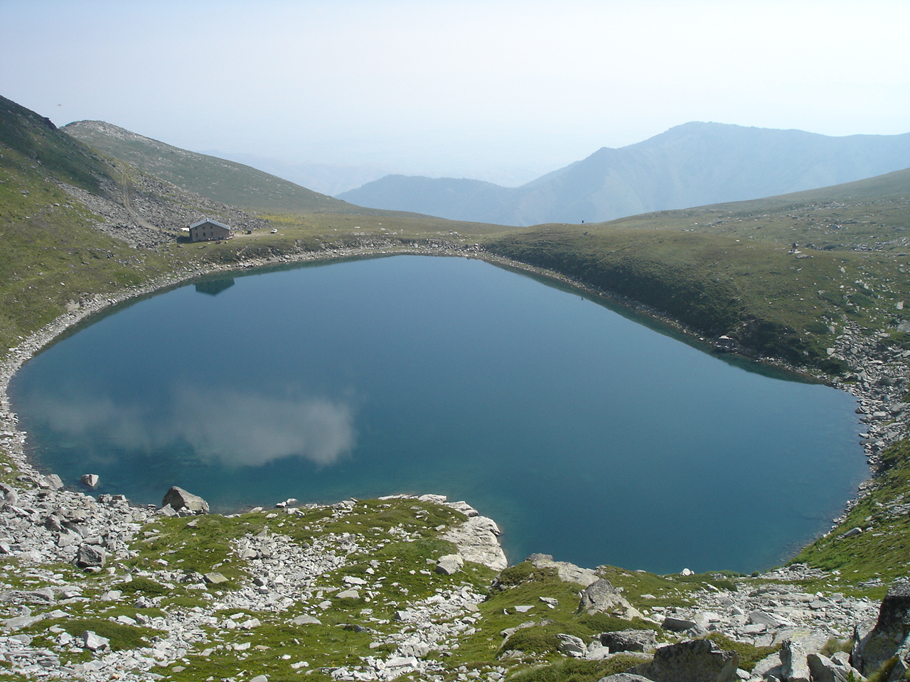
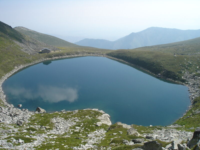
North Macedonia has plenty of mountains, but its two famous glacial lakes sit high on Pelister, above the city of Bitola, and they are the best-known goal in Pelister National Park. Golemo Ezero, the Big Lake, is the deepest mountain lake in the country, and Malo Ezero, the Small Lake, lies a little further on in almost alpine scenery with Pelister's summit above it. Together they are known as Pelister's Eyes.
The hike looks easy in photographs and is not. You cannot reach either lake by ordinary car. The usual route starts at Nižepole, a short taxi ride from Bitola, and climbs about 1,000 m to Golemo Ezero in a little over three hours, and the return makes a full day of 6 to 8 hours. Malo Ezero is another 2.5 km along an uneven path with jutting rocks, and the summit is roughly two hours above the Big Lake. If you start from the Prespa side, the route from Brajčino is about 14 km and takes 5 to 6 hours.
- Elevation
- Golemo Ezero is at about 2,218 m and Malo Ezero at about 2,180 m. The summit of Pelister is 2,601 m.
- Difficulty
- Moderate to Golemo Ezero; Malo Ezero and the summit are harder and need good fitness.
- Walking time
- A little over 3 hours up to Golemo Ezero from Nižepole, 6 to 8 hours for the round trip.
- Starting point
- Nižepole, about 15 to 20 minutes by car from Bitola; a taxi costs around 10 euros.
- Best season
- The warmer months. Snow patches can last into June.
- Mind this
- There are no shops on the trail, so bring food, water and warm layers. The hut at Golemo Ezero opens on weekends from early May to late October, so book ahead if you want a bed.
Malo Ezero is warmer than its big sister and a good place to cool off on a hot day, and the hut at Golemo Ezero has a kitchen, wood stoves and a spring close by. It is worth sleeping up there, so that you see the mountain at both ends of the day.
Trnovačko jezero: the heart on the border
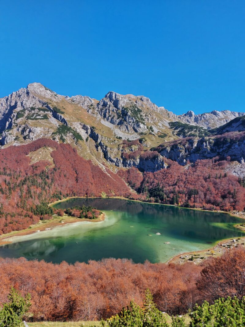
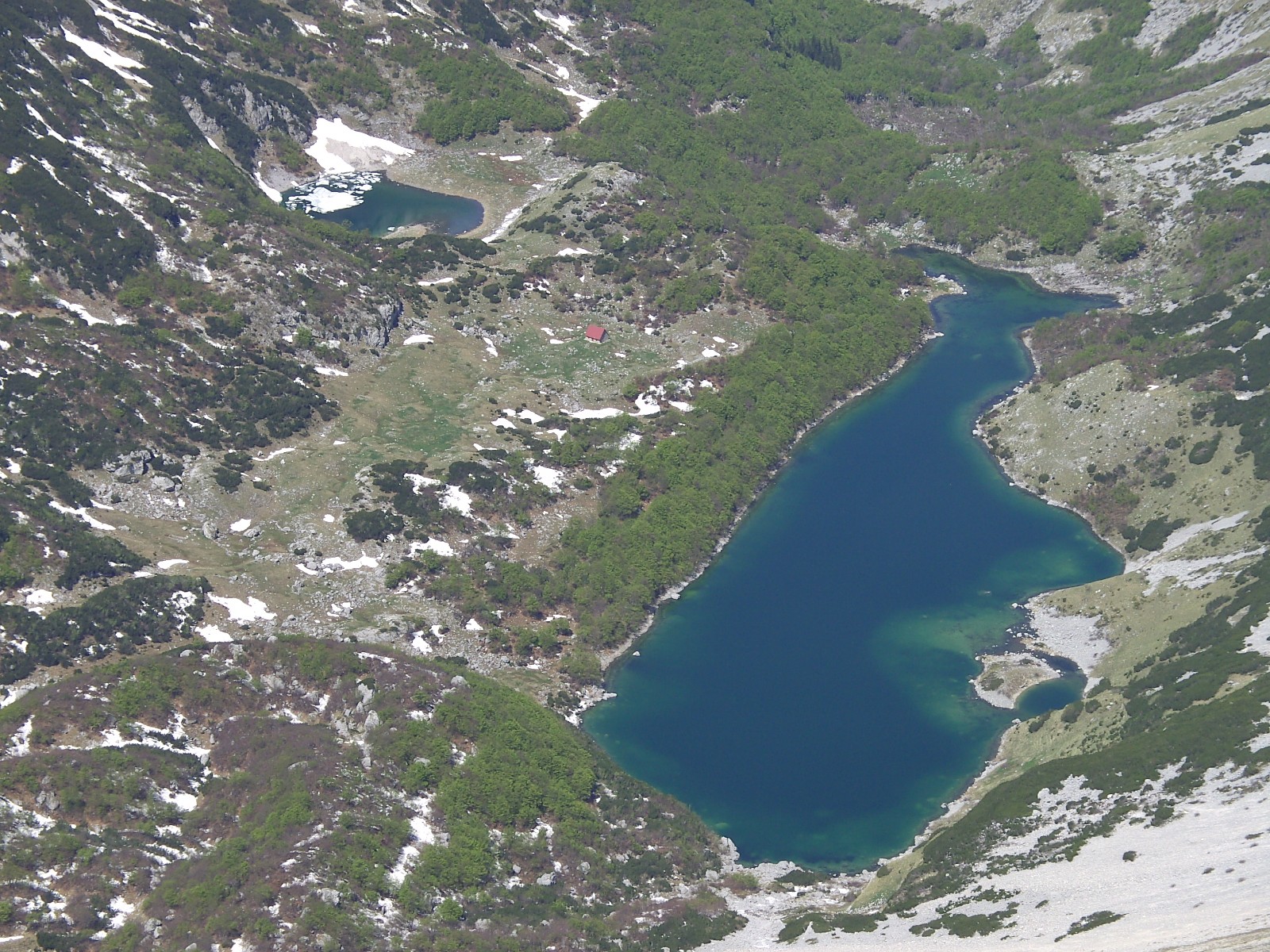
It looks like a heart from above, and the shape alone has made Trnovačko jezero one of the most photographed lakes in the western Balkans. It lies at about 1,517 m in a huge amphitheatre below the Maglić, Volujak and Bioč ranges, with a deep green-blue surface and wooded slopes on its open northern side. The lake belongs to Piva Nature Park in Montenegro, but the easiest way up is from Sutjeska National Park on the Bosnian side.
From Tjentište an off-road vehicle takes you up to the pass at Prijevor, with views over the Perućica forest and the Skakavac waterfall on the drive. From there it is a walk of about 5 km, past Suva jezerina, which takes about an hour and a half, across open mountain grassland. The plateau beside the lake is a favourite place to camp, and the night sky up here is worth the cold.
- Elevation
- About 1,517 m. Maglić, the highest peak in Bosnia and Herzegovina, rises nearby.
- Difficulty
- Easy to moderate for the lake; the loop that adds Maglić is hard (about 13.5 km with 1,350 m of climbing).
- Walking time
- About 1.5 hours from Prijevor, one way.
- Starting point
- Prijevor, reached by off-road vehicle from Tjentište in Sutjeska National Park.
- Best season
- Late spring to early autumn; July and August are the most comfortable. Snow can linger early in the season.
- Mind this
- Both parks charge a small entrance fee. Bring warm layers, and mosquito repellent in May and June. Fog can close in even in summer.
If you have the energy, Zelengora, the range next door, has its own string of glacial lakes. Gornje and Donje Bare are the best for a swim, reaching 18 to 20 °C in August, while Orlovačko, the most visited, is colder.
Prokoško jezero: the lake with a village on its shore
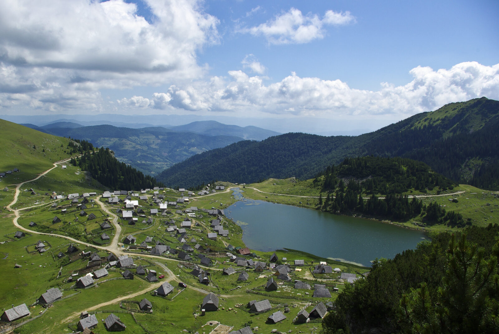
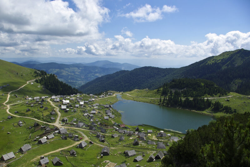
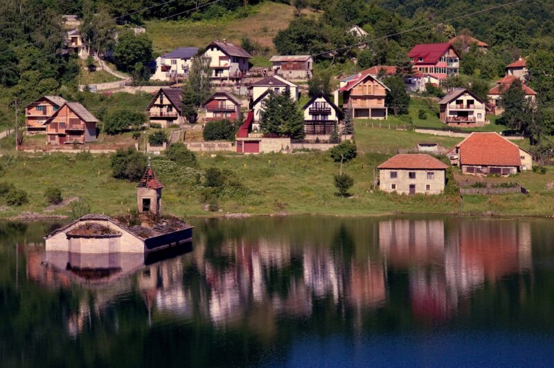
Most mountain lakes in this guide ask you to walk. Prokoško jezero lets you drive almost to the water, which makes it the easiest of the lot, and it is lovely anyway. It lies at about 1,636 m on Vranica in central Bosnia and Herzegovina, beneath Nadkrstac, the mountain's highest peak, and around its shore stand the wooden huts of a summer shepherds' settlement. It is one of Bosnia's mountain eyes, and thousands of visitors come every year.
The route from Sarajevo runs through Kiseljak and Fojnica, then by a forest road of about 20 km, mostly unpaved, that can be driven from the second half of May to the end of October. There is no public transport, but a taxi can be found in Fojnica. Once you are there, the real walking begins. Mali Prokoško is 30 minutes away, Nadkrstac (about 2,112 m) is a hike of roughly three hours from the lake, and loops run 10 to 15 km.
- Elevation
- About 1,636 m; Nadkrstac, the summit above, is about 2,112 m.
- Difficulty
- Easy at the lake; moderate for Nadkrstac and the longer loops.
- Walking time
- Mali Prokoško, 30 minutes; Nadkrstac, about 3 hours one way.
- Starting point
- The lake itself, by road from Fojnica (about 20 km, mostly unpaved).
- Best season
- Late May to October, when the road is open and the lodges and cottages around the lake are running.
- Mind this
- An entrance fee is charged per car and per person. As a protected natural monument, the lake does not allow open fires, fishing or leaving rubbish.
The lake is home to the Bosnian alpine newt, a rare, protected subspecies that keeps its larval features as an adult. Keep an eye out in the shallows, and take your time over the lodges' hearty mountain food after the walk.
Štrbačko jezero: a Šar mountain eye
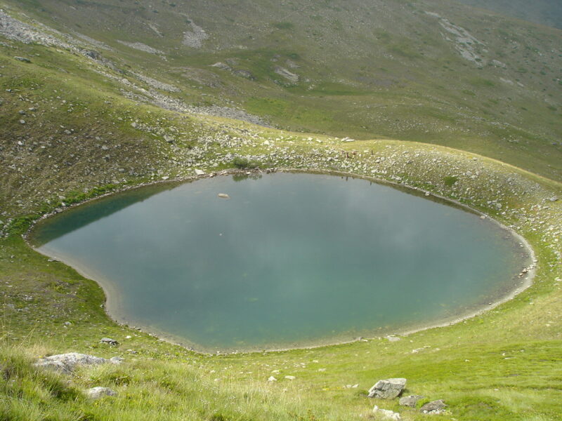
Few visitors outside the region know the lakes of the Šar Mountains, and that is part of their charm. Štrbačko jezero, also called Livadičko jezero, is one of the blue "Šar's eyes", a small glacial lake at about 2,170 m near the peaks of Tumba and Maja Livadh, inside the national park in Kosovo. Snow covers the mountain from November to May, so summer is the time to walk here.
The usual route is a moderate loop of about 9.5 km from Brezovica, the range's ski centre, that climbs about 730 m to Maja Livadh in just under four hours, with a viewpoint near the route that looks over the lake towards Ljuboten. A harder loop of about 16 km begins in the village of Ljuboten and climbs about 1,100 m. In summer the lake is a good place to cool down after the climb.
- Elevation
- About 2,170 m.
- Difficulty
- Moderate from Brezovica; the Ljuboten loop is hard.
- Walking time
- Just under 4 hours for the 9.5 km Brezovica loop.
- Starting point
- Brezovica, or the village of Ljuboten for the longer loop.
- Best season
- Summer. The snow lasts from November to May.
- Mind this
- Bring a waterproof jacket and check the national park's rules before you set out. Accommodation near Brezovica is limited, so book ahead.
Brezovica is a ski resort first, so its summer is quiet, which suits walkers. It is high and exposed, though, so check the forecast and carry layers even on a warm day.
Lake Bucura: Romania's biggest glacial lake
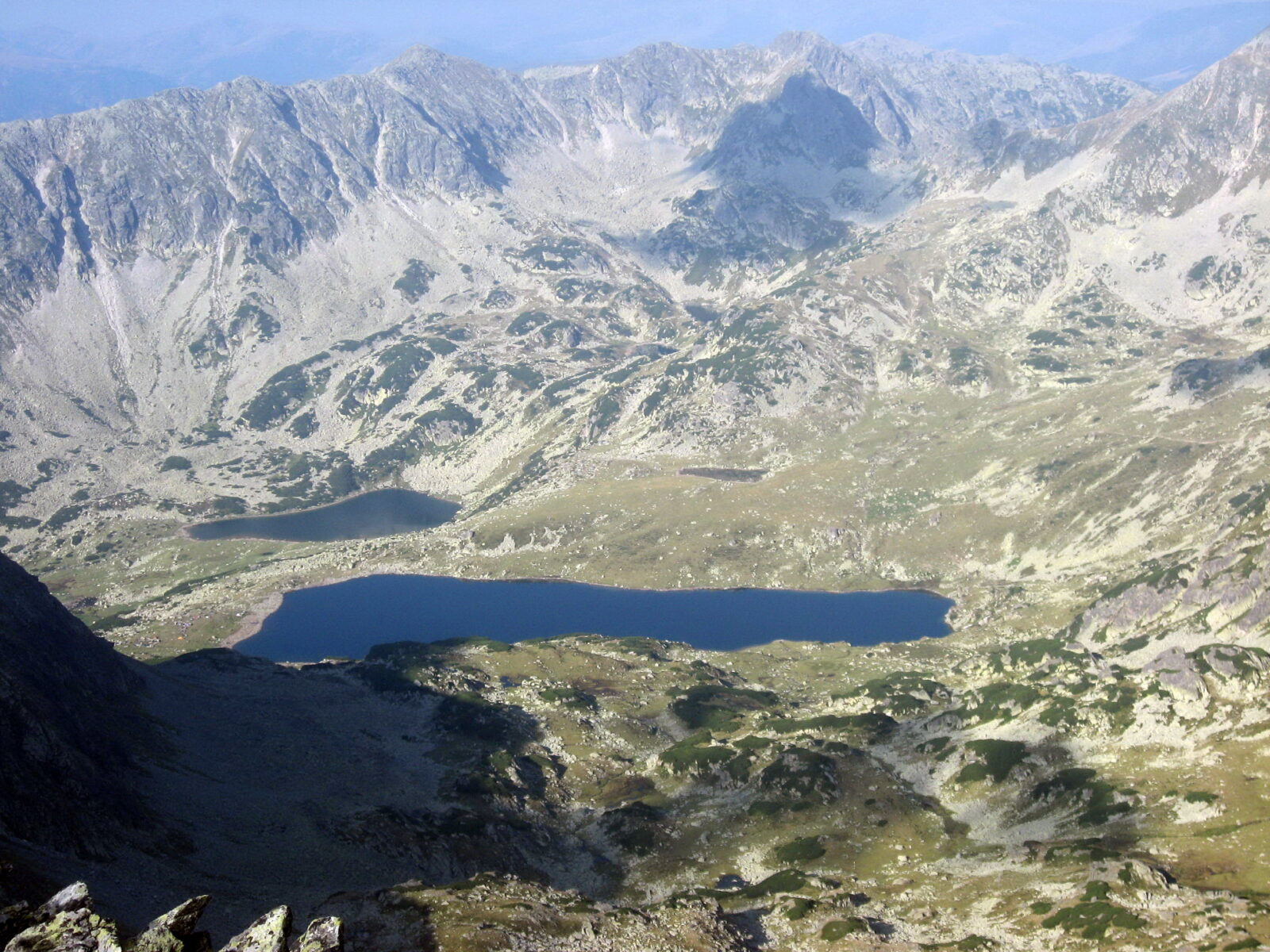
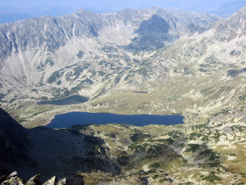
Romania's Carpathians are not strictly the Balkans, but Retezat is too good to leave off the list. Lake Bucura is the largest glacial lake in the country, long and narrow, filling a cirque carved out by ice south of the main ridge, at the foot of Peleaga Peak. It lies at about 2,040 m in Retezat National Park, and the walk there takes you past wildflowers, marmots and constant views of the ridge.
The usual way is from Cabana Pietrele, the hub of tourism in the massif. A loop of about 13.6 km with roughly 1,030 m of climbing, from Pietrele past Lake Bucura and Lake Pietrele, is rated hard, and so is the climb from Bucura to Peleaga, which at about 2,509 m is the highest summit in Retezat. The path from the lake through the Poarta Bucurei gap towards Retezat peak is shorter, about 3.9 km and 2 to 2.5 hours, but it is dangerous in winter.
- Elevation
- About 2,040 m. Peleaga, above it, is about 2,509 m.
- Difficulty
- Moderate to strenuous. The full loop from Pietrele is hard.
- Walking time
- The loop takes about 6.5 hours; the shelter at the lake is about 2 hours from Poiana Pelegii.
- Starting point
- Cabana Pietrele, where bungalows and a campsite now stand on the site of the old hut.
- Best season
- Late June to early October.
- Mind this
- It is a national park, and camping is allowed only at Lake Bucura and in Poiana Pelegii. Check the weather and the trail conditions first.
The old Pietrele hut burned down in February 2007, so check what is currently open before you plan a night there. Cabana Gențiana stands nearby at about 1,670 m, and it is another useful base.
Before you go up
Mountain weather turns quickly, even in July, and fog and afternoon storms are common. Start early, carry more water and layers than you think you need, and tell someone your route. Snow patches can hide the trail well into June, and several of these lakes lie in national parks with their own rules and entrance fees. Walking times and trail conditions here are a guide, and they change from one season to the next.
Where to begin
If it is your first glacial lake, take the lift at Rila. If you want a family-friendly walk with a serious view, choose Black Lake or drive to Prokoško. For solitude and a proper day out, pick Pelister's Eyes, Trnovačko or the Šar Mountains. And if you want to feel small among big mountains, save Bucura for a clear day in August.