
 Photo: Várkonyi Tibor · CC BY-SA 4.0
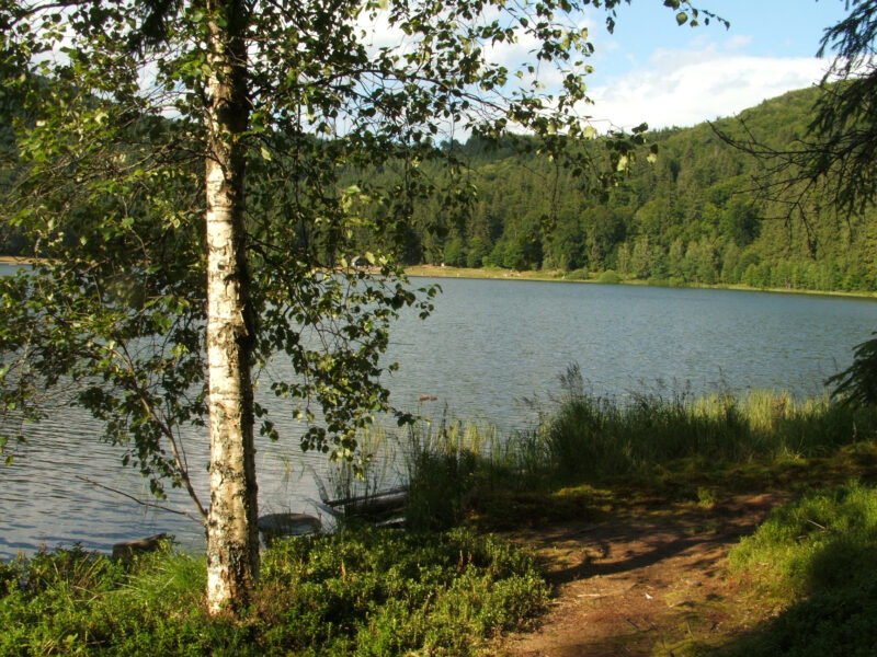
Lake Poiana Uzului is a reservoir of about 98 million m³ on the Uz, near Dărmănești in Bacău County, between the Nemira and Ciuc mountains, up to about 65 m deep.
How it formed
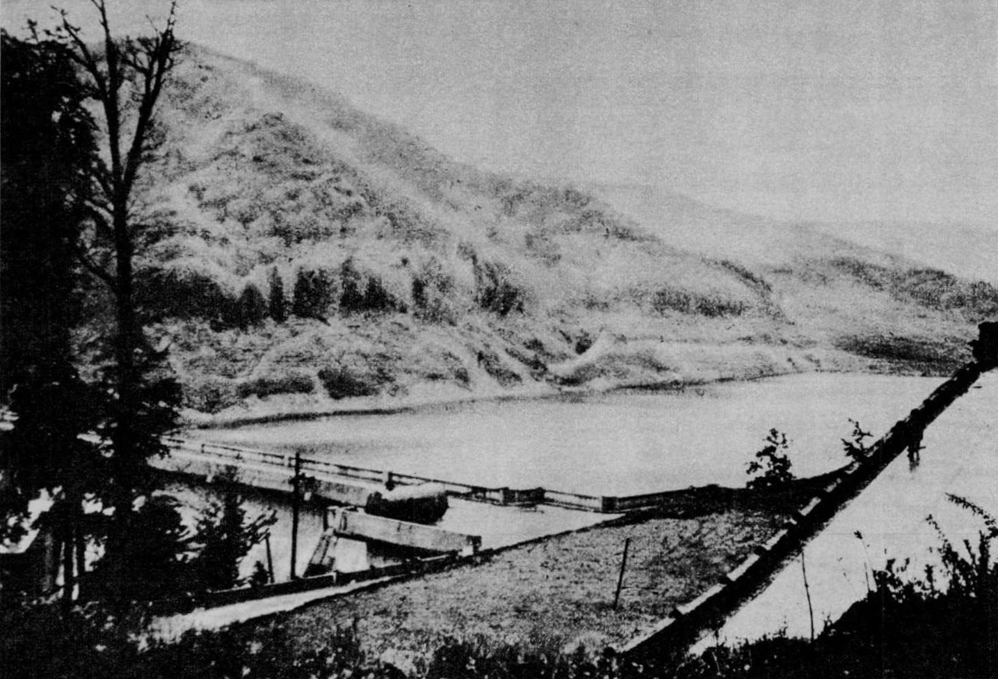
Its concrete dam, built in 1967–1972, is about 80 m high and 500 m long, the highest buttress dam in Romania. The lake mainly supplies drinking and industrial water to the Trotuș valley, including Onești and the Borzești industrial area, and to Bacău, and it also helps to hold back floods.
History
The village of Poiana Uzului, founded in the 1850s, was dissolved in 1969 for the reservoir, and its people moved to Boiștea in Dărmănești.
Visit
Swimming
No reliable information
Tips
The paved county road DJ123 runs along the northern side of the lake and on towards Tușnad. A guesthouse stands at the far end of the lake, with fishing and hiking around it. Ask locally about access to the shore, as this is a drinking-water source.
Nearby lakes
Show on mapPhoto: Várkonyi Tibor · CC BY-SA 4.0
 Photo: T Misi · CC BY-SA 3.0

Know Lacul Poiana Uzului well?
Suggest a beach, viewpoint, trail or amenity, or tell us if something has changed. We read every message.
Sources & data
- Romania's 2022 Water Framework Directive reporting to the EEA: lake (LW) and transitional (TW) water bodies, field cArea, European Environment Agency (WISE WFD), reported by Romania, 2022
- OpenStreetMap: Lacul de acumulare Poiana Uzului (way 88371363), OpenStreetMap contributors
- Romanian Wikipedia: Barajul Poiana Uzului, Wikimedia Foundation
- Valea Uzului and Poiana Uzului, Harghita County Council