
 Photo: Miehs at Romanian Wikipedia · Public domain
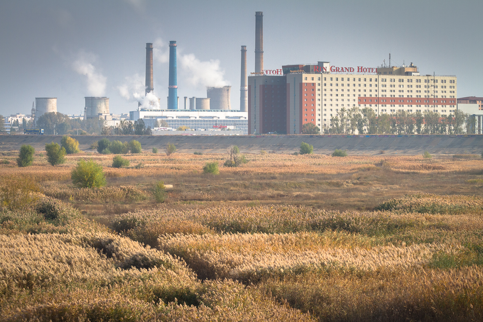
Photo: Mihai Petre · CC BY-SA 3.0
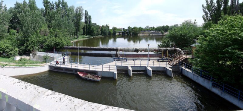
Lake Văcărești lies in the south of Bucharest, in Sector 4, about 5 km from the centre, inside Văcărești Nature Park, nicknamed the “Bucharest Delta”. It formed in an old branch of the Dâmbovița and is shallow, up to about 2 m deep, in a wetland inside a large embankment.
History
Once marshland on the edge of the city, the site was dug out from 1988 for a lake that was to feed a canal to the Danube and defend the capital from floods. The dykes leaked, and the project was abandoned after the 1989 revolution. Nature moved in, and after a 2012 article in National Geographic Romania drew attention to it, a campaign won protected status, confirmed in 2016.
Nature
Three connected lakes fed by springs support willows, water lilies and tall grasses. A 2013 study by the Romanian Academy recorded hundreds of plant species, 96 bird species and mammals including otters and weasels.
Visit
Swimming
No reliable information
Tips
Joggers, cyclists and photographers are the most frequent visitors, and the view from the top of the embankment is striking. Fishing is discouraged, and flowers should be left alone. Boat rides are only available on occasional guided tours, as access to the water is strictly regulated.
Nearby lakes
Show on mapPhoto: Miehs at Romanian Wikipedia · Public domain
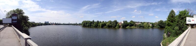 Photo: Miehs at Romanian Wikipedia · Public domain

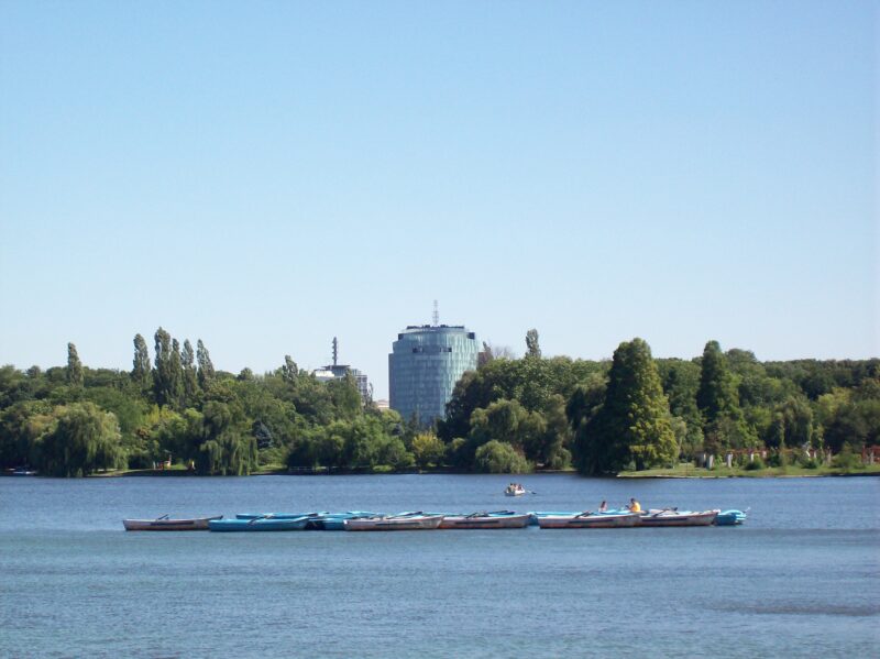 Photo: Al at Dutch Wikipedia · Public domain

Know Lacul Văcărești well?
Suggest a beach, viewpoint, trail or amenity, or tell us if something has changed. We read every message.
Sources & data
- Romania's 2022 Water Framework Directive reporting to the EEA: lake (LW) and transitional (TW) water bodies, field cArea, European Environment Agency (WISE WFD), reported by Romania, 2022
- Wikipedia: Lake Văcărești, Wikimedia Foundation
- Bucharest’s urban nature reserve, Emerging Europe
- Where you can go boating in Bucharest, Bucharest City Hall