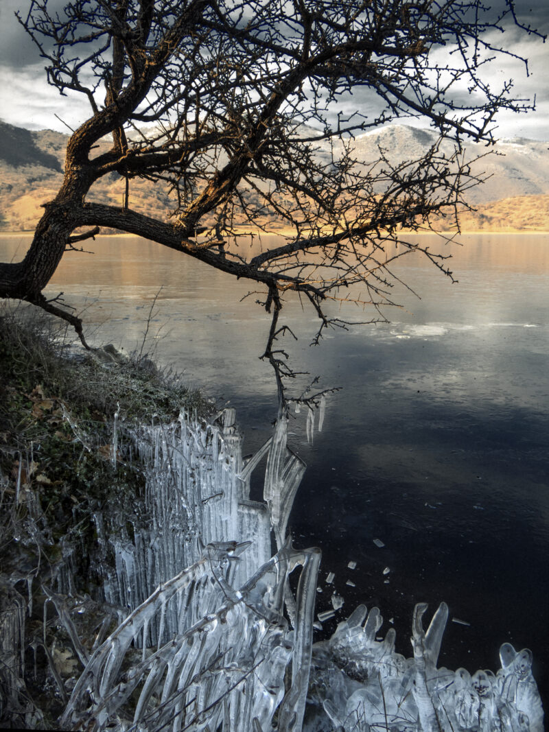
 Photo: Despina Michailidou · CC BY-SA 4.0
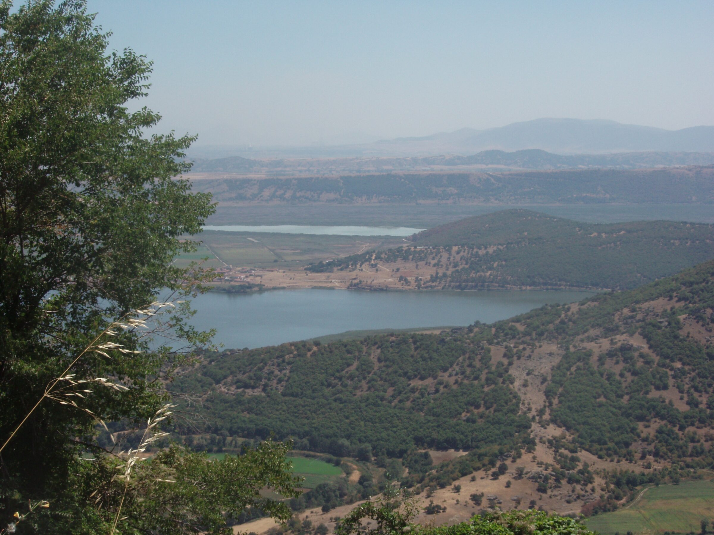
Photo: Christaras A · CC BY 3.0
Lake Chimaditida is a long, narrow, very shallow lake at about 590 m in the south of Florina, at the foot of Mount Vernon, averaging about a metre deep. It forms a four-lake system with Zazari, Petron and Vegoritida. Two hills covered in oak, elm and ash rise to the west and east, and dense reed beds, wet meadows and farmland border the water.
How it formed
It is thought to be an ancient lake of seismic origin. Lake Zazari feeds it through a canal, and it feeds Lake Petron in turn through a channel that meets the Amyntas stream. Drainage for farmland after the 1960s has reduced it. Its name recalls the farmers who wintered their cattle in its sheltered western bays; it was once also called Anargyron or the marsh of Rudnik.
Nature
More than 150 bird species have been recorded, many of them protected, and it is the most important breeding site in Greece for the ferruginous duck and for pygmy cormorants. Bee-eaters, storks and short-toed eagles are also seen. Tree frogs, pond turtles, crested newts, otters and ground squirrels live along the banks, and water lilies and orchids flower in season.
Visit
Swimming
No reliable information
Tips
Take the Egnatia motorway to the Ptolemaida exit and follow the road through Levaia towards Nymfaio; the lakes appear on the left just before the junction. You can approach the lake from Limnochori, on the eastern bank of Zazari, or from the villages of Anargyri, Valtonera and Sklithro; guard dogs may be about. Locals fish here, but the wildlife is the main draw, so bring binoculars.
Sklithro has a well-known traditional tavern with a long wine list, and the vineyards of Amyntaio are close by.
Nearby lakes
Show on map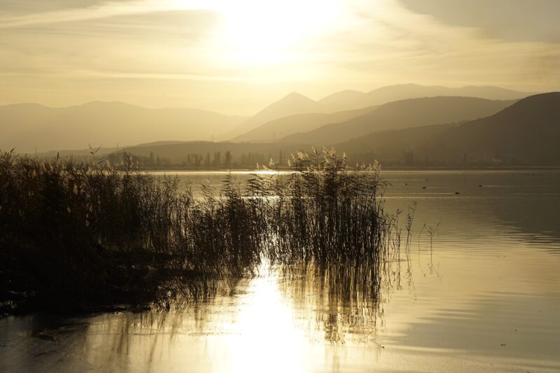


Know Lake Chimaditida well?
Suggest a beach, viewpoint, trail or amenity, or tell us if something has changed. We read every message.
Sources & data
- Greece's 2022 Water Framework Directive reporting to the EEA: lake (LW) and transitional (TW) water bodies, field cArea, European Environment Agency (WISE WFD), reported by Greece, 2022
- OpenStreetMap: Λίμνη Χειμαδίτιδα (way 273678218), OpenStreetMap contributors
- Wikidata: Lake Chimaditida (Q1990257), Wikimedia Foundation
- Greek Wikipedia: Χειμαδίτιδα, Wikimedia Foundation
- Lake Chimaditida, Region of Western Macedonia
- Lake Chimaditis: an amazing yet little-known wetland in Florina, Travel.gr
- A magical journey through four unique lakes in Florina, Travel.gr