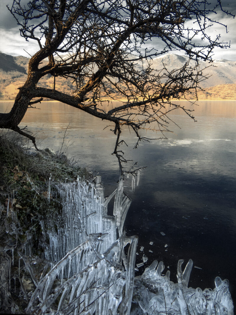
 Photo: Despina Michailidou · CC BY-SA 4.0
The Triantafyllia reservoir is an irrigation reservoir in the hills of Florina, near the village of Triantafyllia.
How it formed
A water intake at the dam feeds the irrigation networks of the Florina plain, with a first phase covering about 1,800 hectares of farmland, and it links with the pipeline of the Kolchiki dam.
Visit
Swimming
No reliable information
Tips
The road to the dam climbs from Ydrousa past Drosopigi; subsidence has been reported on it, so ask in Florina about its condition and about access to the shore.
Nearby lakes
Show on mapPhoto: Despina Michailidou · CC BY-SA 4.0
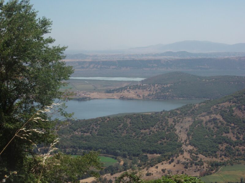 Photo: Christaras A · CC BY 3.0

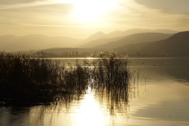 Photo: Christidis Vasilis · CC BY-SA 4.0

Know Triantafyllia Reservoir well?
Suggest a beach, viewpoint, trail or amenity, or tell us if something has changed. We read every message.
Sources & data
- Greece's 2022 Water Framework Directive reporting to the EEA: lake (LW) and transitional (TW) water bodies, field cArea, European Environment Agency (WISE WFD), reported by Greece, 2022
- OpenStreetMap: Ταμιευτήρας Τριανταφυλλιάς (way 661688614), OpenStreetMap contributors
- Irrigation works of 41.5 million euros in Florina, Powergame
- Urgent notice from the Regional Unit of Florina, Regional Unit of Florina