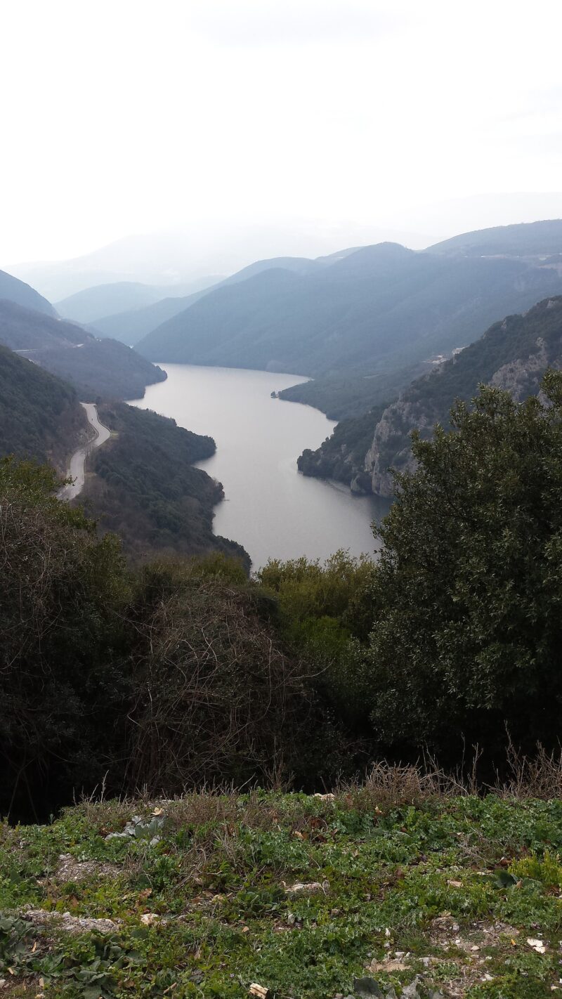
 Photo: HAMPOS · CC BY-SA 4.0
Lake Ilarionas is the youngest of the Aliakmonas reservoirs, running through the valley from the south-eastern edge of Grevena to the historic area of Aiani in Kozani. From above it is a network of fjord-like inlets and basins among dense vegetation, with old monasteries scattered through the landscape. It lies upstream of Lake Polyfytos.
How it formed
The Ilarionas dam, about 130 m high, was completed in 2013, about 7 km above the Rymnio bridge. It generates hydroelectric power, supplies water to Thessaloniki and irrigates the plains of Imathia, Pella and Thessaloniki, so its level changes in ways that are hard to predict.
Nature
The dam blocks the upstream migration of river fish, some of which have been lost over many kilometres, while carp have multiplied, spawning in a flooded field in the upper lake. The lake has also become a wetland for birds and other wildlife.
Visit
Swimming
No reliable information
Tips
From May to October, guided canoe and kayak trips of about three hours paddle from the historic church of Panagia Tournikiou to the hermitage of Agios Nikanoras, through narrow passages between steep cliffs, with views of the monastery of Osios Nikanoras at Zavorda. Trips usually leave in the morning, with extra times in summer.
Nearby lakes
Show on map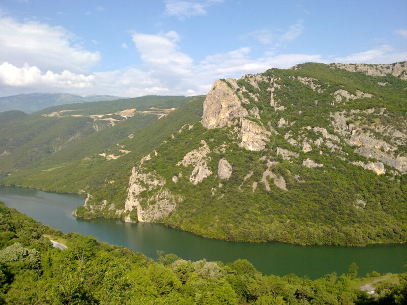


Know Lake Ilarionas well?
Suggest a beach, viewpoint, trail or amenity, or tell us if something has changed. We read every message.
Sources & data
- Greece's 2022 Water Framework Directive reporting to the EEA: lake (LW) and transitional (TW) water bodies, field cArea, European Environment Agency (WISE WFD), reported by Greece, 2022
- OpenStreetMap: Τεχνητή Λίμνη Ιλαρίωνα (relation 7728810), OpenStreetMap contributors
- Lake Ilarionas, Region of Western Macedonia
- Canoe kayak at Lake Ilarion, Trekking Hellas
- Ichthyology of hydroelectric dams (2024), S. Zogaris