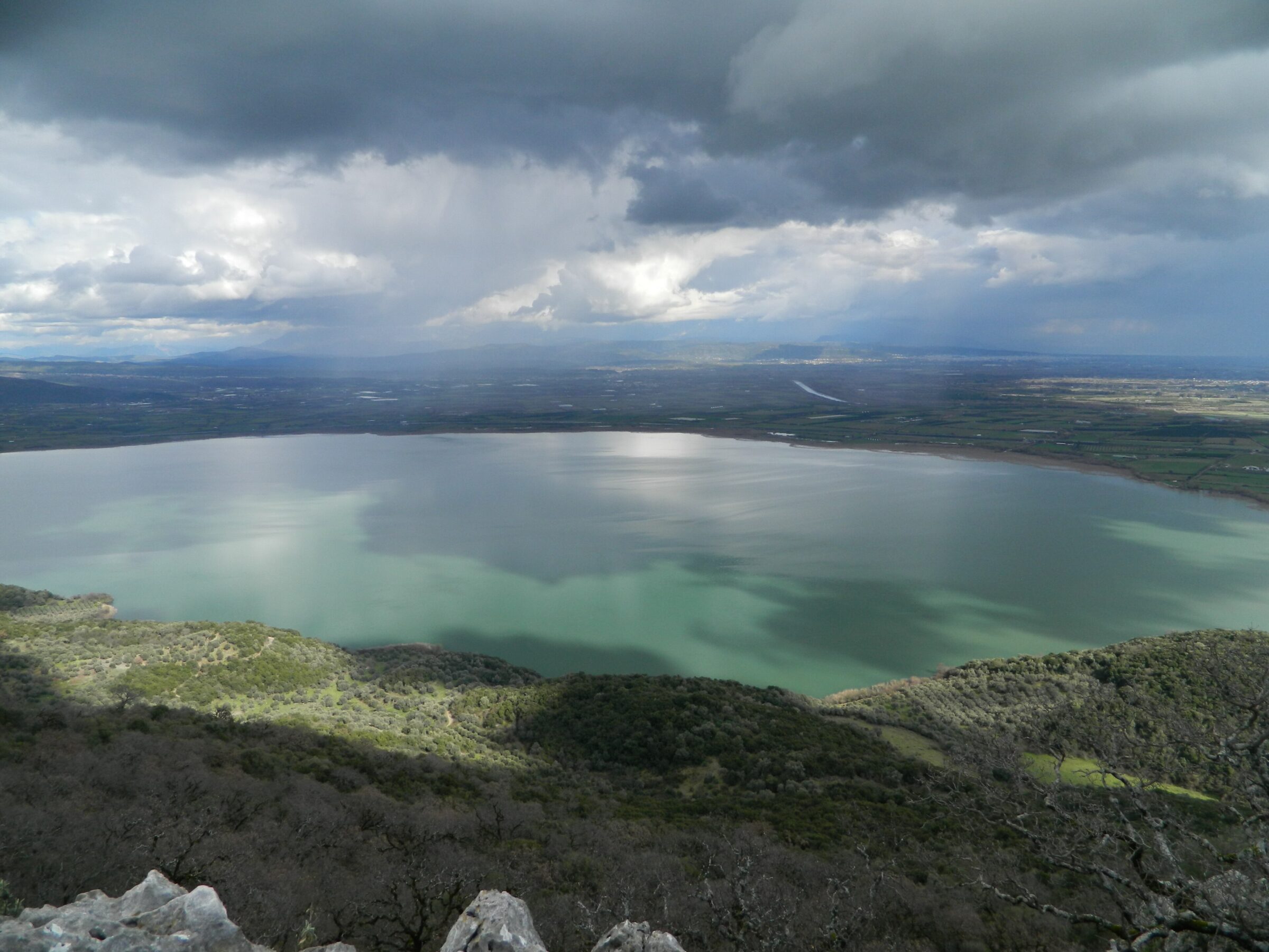
Photo: Ankaraiskos · CC BY-SA 4.0

Lake Ozeros is a shallow natural lake west of Agrinio in Aetolia-Acarnania, about 5 km long and 3 km wide, with its own catchment. It is sometimes joined to the Acheloos when the river overflows, and its depth varies greatly with the season. The villages of Agios Konstantinos, Kalyvia, Bampini and Fyteies lie around it.
Nature
Reeds and seasonal wetlands around the shore support waterfowl, and the lake draws birdwatchers and anglers.
Visit
Swimming
No reliable information
Tips
The A5 motorway runs along the east side of the lake. A car is the practical way to get here: the last stretch is on narrow country roads, so park where you can and walk to the shore. Spring is the greenest time and autumn the quietest. Bring insect repellent in summer.
Nearby lakes
Show on mapKnow Lake Ozeros well?
Suggest a beach, viewpoint, trail or amenity, or tell us if something has changed. We read every message.
Sources & data
- Greece's 2022 Water Framework Directive reporting to the EEA: lake (LW) and transitional (TW) water bodies, field cArea, European Environment Agency (WISE WFD), reported by Greece, 2022
- OpenStreetMap: Λίμνη Οζερός (way 14351909), OpenStreetMap contributors
- Wikidata: Ozeros (Q2987510), Wikimedia Foundation
- English Wikipedia: Ozeros, Wikimedia Foundation
- Lake Ozeros, TravelDojo