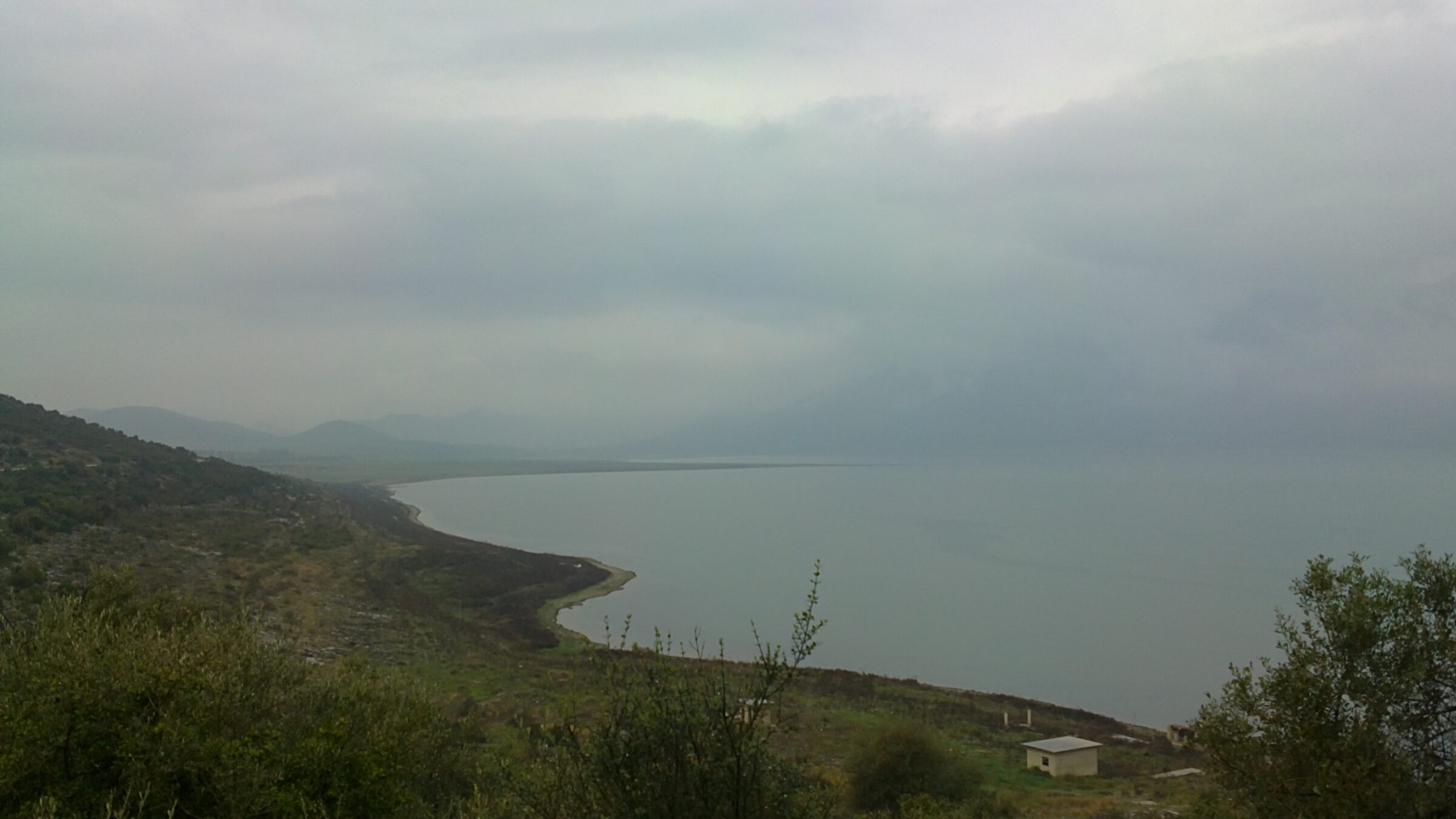
Photo: EwikiCommons · CC BY 3.0
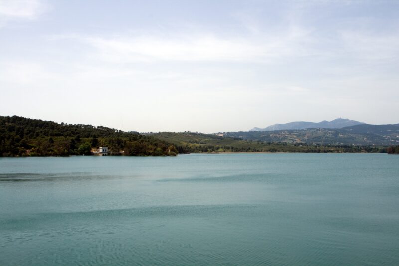
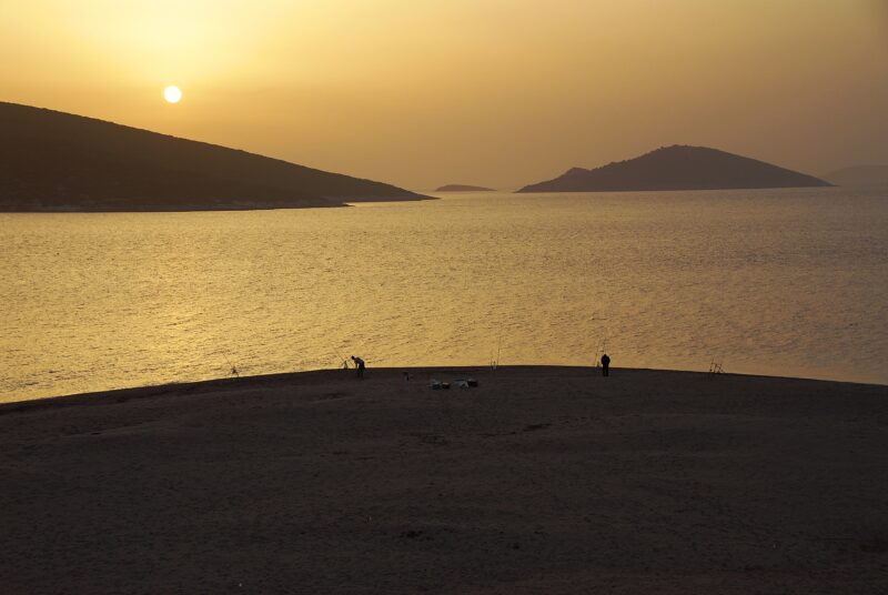
Lake Paralimni, in antiquity Ougria, or Trefia, is the easternmost of three old lakes that lie in a line across Boeotia, with Yliki in the middle and the drained Copais to the west. It is about 10 km long, with the Ptoion mountains along its north shore, the foothills of Messapio to the south, a flat, fertile east end and a west end that merges into the plain of Thebes. Only a land bridge of about 2 km separates it from the Gulf of Euboea.
How it formed
The three lakes were never joined on the surface, but they were linked underground through karst sinkholes, and their levels once rose and fell together. When Copais was drained in the 19th century, the water of Paralimni rose about 20 m. A canal was begun from Yliki, but the floods it was meant for would never reach its height, and it stops short of this lake. With its main sinkhole blocked, the lake now stands well below Yliki and at its own level, and a tunnel takes high water to the gulf.
History
The east end has been lived in since the Neolithic, and near Anthidona lies the walled Homeric city of Anthedon. An ancient road ran along the south shore, linking the villages. The site of Palaiometochi is in the village of Pyrgos.
Nature
Wetlands fringe the lake, which is home to rare fish and birds and is mostly protected. With Yliki, the Kifissos and Melas rivers and the Chariton springs, it belongs to one of the important areas in Greece for birds and storks.
Visit
Swimming
No reliable information
Tips
The main highway to the coast crosses Messapio by a pass near the lake. Near Anthidona, at the east end, the remains of Anthedon and the Mandraki harbour make a natural stop, and Yliki is next door.
Nearby lakes
Show on map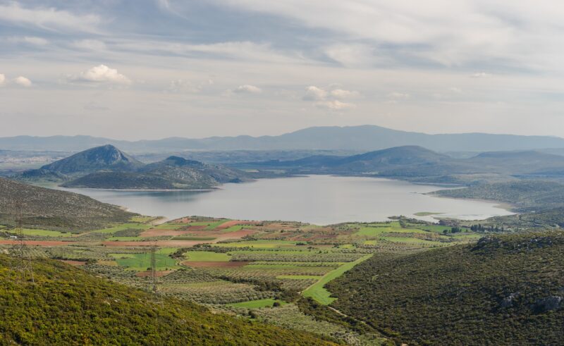


Know Lake Paralimni well?
Suggest a beach, viewpoint, trail or amenity, or tell us if something has changed. We read every message.
Sources & data
- Greece's 2022 Water Framework Directive reporting to the EEA: lake (LW) and transitional (TW) water bodies, field cArea, European Environment Agency (WISE WFD), reported by Greece, 2022
- OpenStreetMap: Λίμνη Παραλίμνη (way 143242724), OpenStreetMap contributors
- Wikidata: Lake Paralimni (Q15057262), Wikimedia Foundation
- English Wikipedia: Lake Paralimni, Wikimedia Foundation
- Yliki (Likeri) Lake, All Over Greece