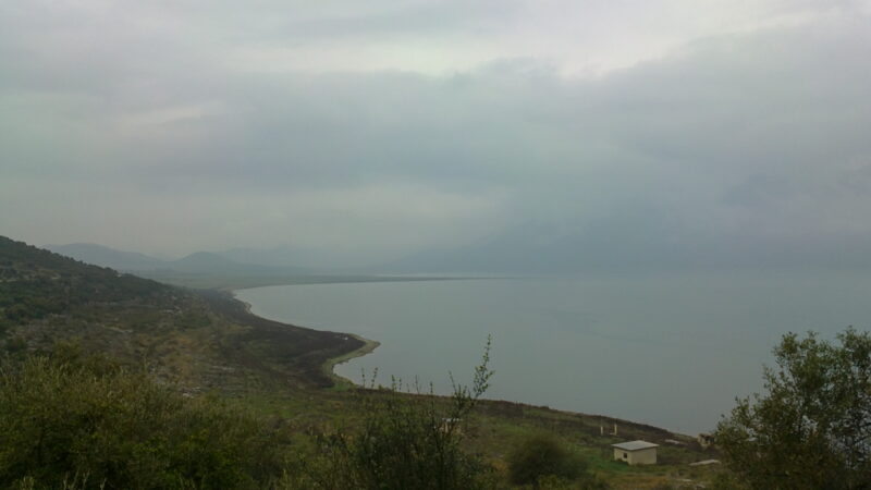
 Photo: EwikiCommons · CC BY 3.0
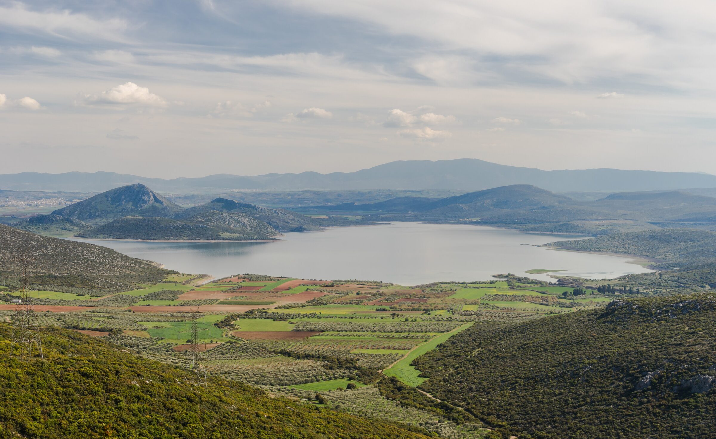
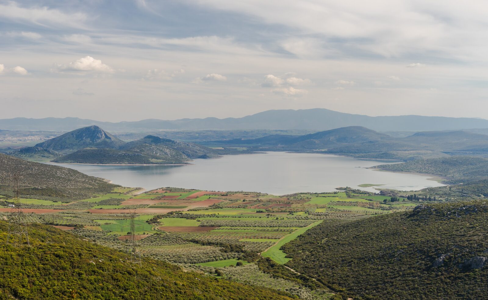
Lake Yliki is a large natural lake in Boeotia in central Greece, north of Thebes, surrounded by low mountains that separate it from the drained Lake Copais. Since 1958 it has been an important source of drinking water for the Athens area. The lake is home to several threatened fish species that are endemic or nearly so, among them the Yliki barbel, the Greek stickleback and the Greek rudd, and part of the music video for the song S.O.S. by the French singer Indila was filmed there.
How it formed
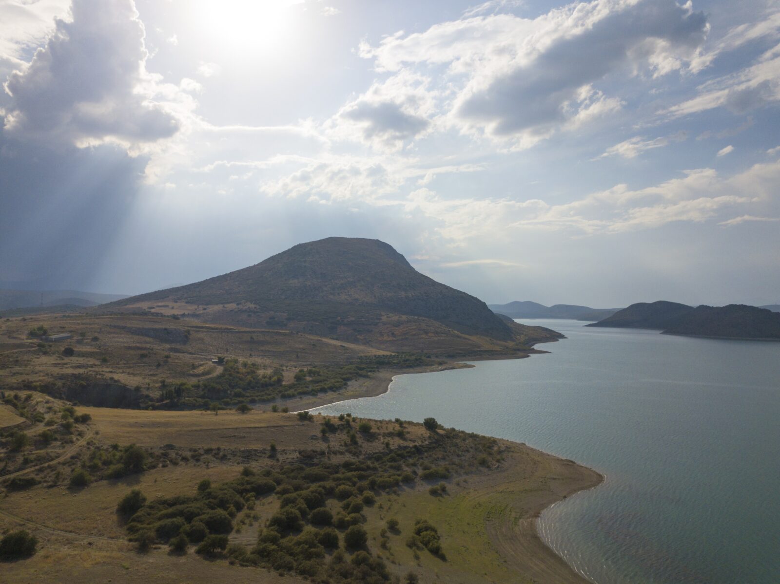
The lake lies in a basin between Mount Ktypas, or Messapios, to the east, Mount Ptoos to the north and Mount Sphingio to the west, with low hills to the south. The Boeotian Kifissos feeds it with water from the drained Copais, helped by underground springs and small mountain streams. It has ten islands.
Yliki and Paralimni were once linked underground through karst sinkholes, and a canal of about 3 km was dug to take surplus water to its neighbour, which lies far lower.
Nature
The fish of the lake include the Marathon minnow, the Boeotian riffle dace and the Yliki roach, as well as those for which it is best known, and it is a Natura 2000 site. The banks are mostly bare, with some kermes oak and mastic. Several kinds of birds spend the winter here, and the wider area is an important one in Greece for birds and storks.
Gallery
Visit
Getting there
Nearest settlement: Thebes
Swimming
No reliable information
Tips
Yliki lies 8 km north of Thebes and is reached by regional roads from Thebes and the Attica plain; a car is the practical way to get around, as the access is along rural roads. It is a working source of drinking water for Athens rather than a resort, and access can be restricted in places.
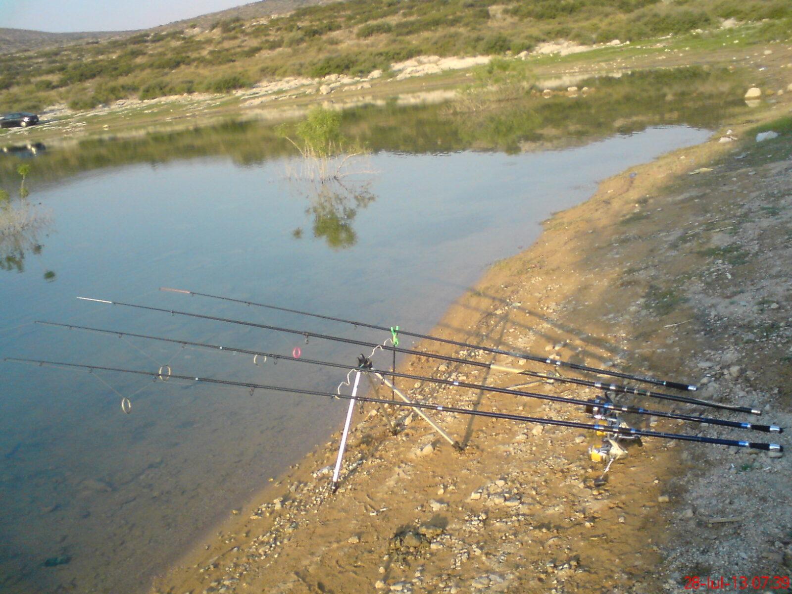
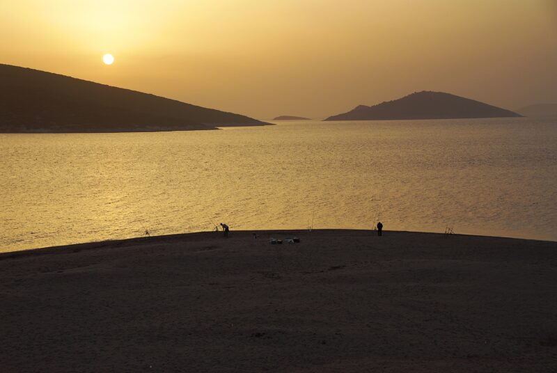
Anglers come in numbers at weekends, and hikers and day-trippers use the access roads and viewpoints. Spring is the most beautiful time, and winter is good for birds, so bring binoculars. In droughts the water falls dramatically: the lake’s island, once 120 m from shore, has become reachable by car. The Cadmea, the ancient citadel of Thebes, is about 9 km away.
Nearby lakes
Show on map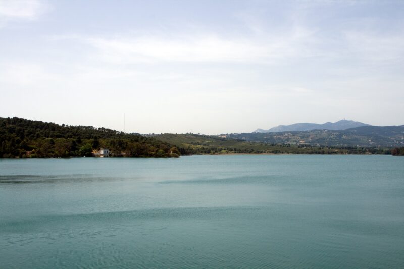


Know Lake Yliki well?
Suggest a beach, viewpoint, trail or amenity, or tell us if something has changed. We read every message.
Sources & data
- Greece's 2022 Water Framework Directive reporting to the EEA: lake (LW) and transitional (TW) water bodies, field cArea, European Environment Agency (WISE WFD), reported by Greece, 2022
- OpenStreetMap: Λίμνη Υλίκη (relation 1601019), OpenStreetMap contributors
- Wikidata: Lake Yliki (Q1529077), Wikimedia Foundation
- English Wikipedia: Lake Yliki, Wikimedia Foundation
- Yliki (Likeri) Lake, All Over Greece
- Lake Yliki, TravelDojo
- English Wikipedia: Lake Paralimni, Wikimedia Foundation