
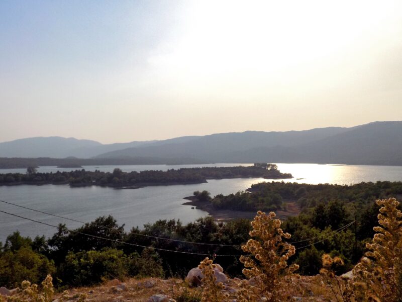
 Photo: BuhaM · CC BY-SA 4.0
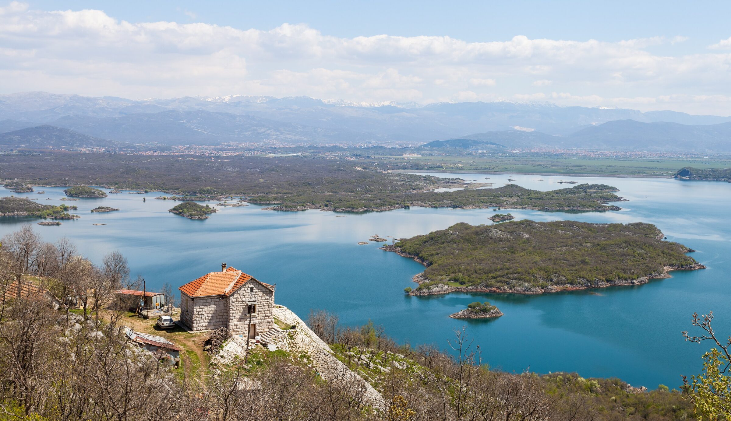
Photo: Diego Delso · CC BY-SA 3.0
The largest of three connected reservoirs west of Nikšić, built for the Perućica power plant. Its shore is much indented and holds several islands, the biggest called Viza. It is used for fishing and tourism.
How it formed
Krupac, Slano and Vrtac were made in 1950 in the western part of the Nikšić field to store water for the Perućica hydroelectric plant. The three reservoirs are separate basins linked by canals, so that water can be let through from one to the next. Slano, the largest of them, receives its water through a pipeline and a tunnel at Stubica and from several springs; the ground beneath it was so porous that the builders had to inject large amounts of liquid cement to seal it.
Nature
The lake’s much-indented shore encloses several islands, the largest of them the wooded island of Viža.
Visit
Getting there
Nearest settlement: Nikšić
Swimming
No reliable information
Fishing
Allowed
Tips
Slano lies a short drive west of Nikšić and is easy to reach. With Krupac it is one of the two lakes where people from Nikšić go to swim and relax, and anglers and hunters use its shores too.
For a beach with cafés, sports courts and boats for hire, go to neighbouring Krupac, which is linked to Slano by a canal.
Nearby lakes
Show on mapPhoto: BuhaM · CC BY-SA 4.0
Know Lake Slano well?
Suggest a beach, viewpoint, trail or amenity, or tell us if something has changed. We read every message.
Sources & data
- Statistički godišnjak Crne Gore 2023, tables 1-6 "Prirodna jezera" and 1-7 "Akumulaciona jezera", Monstat, 2023
- Wikidata: Lake Slano (Q11191843), Wikimedia Foundation
- OpenStreetMap: Slano jezero (relation 2790945), OpenStreetMap contributors
- Serbian Wikipedia: Слано језеро (Црна Гора), Wikimedia Foundation
- Slano Lake, Photo Montenegro
- Serbian Wikipedia: Krupačko jezero (Nikšić), Wikimedia Foundation