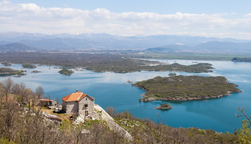
 Photo: Diego Delso · CC BY-SA 3.0
Vrtac is the third of the three reservoirs of the Perućica hydroelectric scheme in the Nikšić field, alongside Krupac and Slano. It is a retention basin on porous karst ground, and the water that reaches it often drains away into its sinkholes, so it is frequently low or almost empty.
How it formed
Krupac, Slano and Vrtac were made as separate basins linked by canals, so that water can be passed from one to the next on its way to the Perućica plant. Surplus water from Krupac often spills over and is lost in the sinkholes of Vrtac; the power company plans a tunnel and channel to carry it straight from Krupac to Slano instead.
Nature
The Nikšić field around the reservoirs is the largest karst field in Montenegro, and in spring and autumn its grasslands are an important resting and feeding place for migrating birds, among them cranes, red-footed falcons, snipe and lapwings.
Visit
Getting there
Nearest settlement: Nikšić
Swimming
No reliable information
Tips
The field is crossed by paved and unpaved roads that are easy to walk or cycle, and the dams of the reservoirs are the best places to watch birds; bring a telescope, as there is no hide.
Nearby lakes
Show on map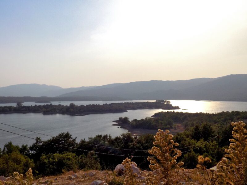


Know Vrtac well?
Suggest a beach, viewpoint, trail or amenity, or tell us if something has changed. We read every message.
Sources & data
- OpenStreetMap: Retencija Vrtac (relation 20689496), OpenStreetMap contributors
- Slano Lake, Photo Montenegro
- Uskoro novi tender za spajanje nikšićkih jezera (2026), Biznis.rs
- Nikšićko polje, Birdingplaces.eu