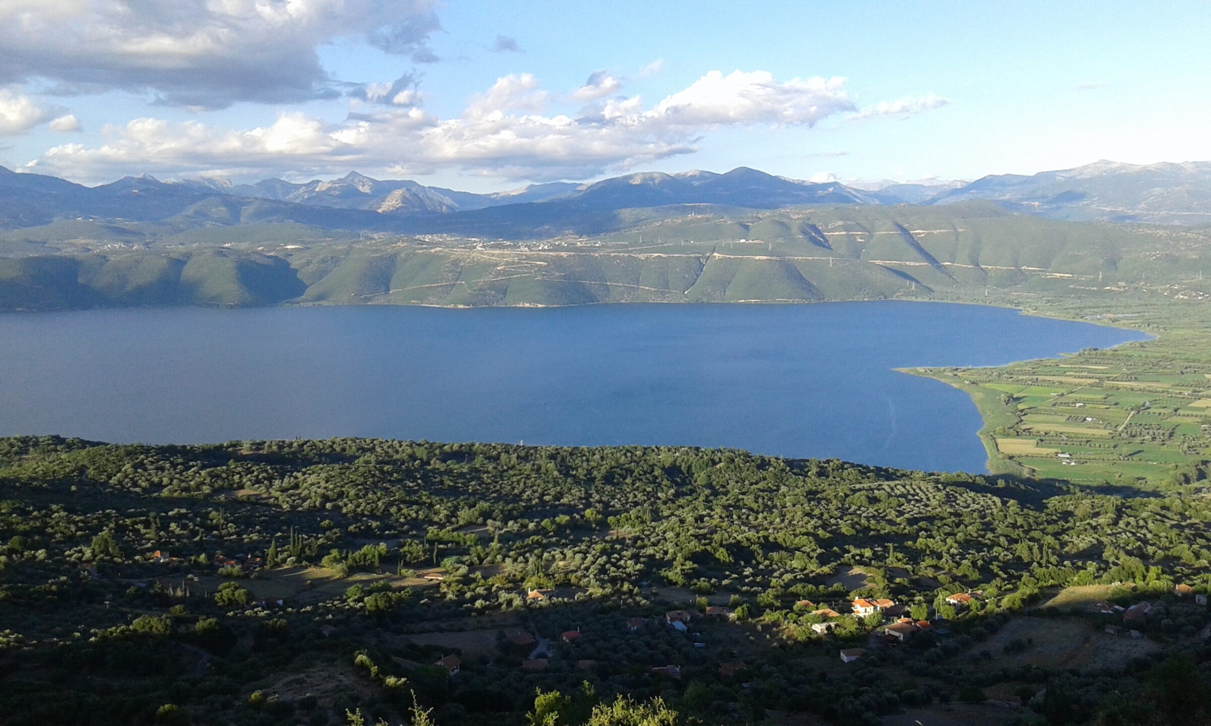
Photo: EviFast7 · CC BY-SA 4.0
Lake Trichonida is the largest natural lake in Greece, in the eastern part of Aetolia-Acarnania between the town of Agrinio and Nafpaktos. The Panaitoliko mountains rise to the north and north-east, and forests of maple, pine and other trees, farmland and villages surround it. The lake and its surroundings are home to a great many kinds of birds.
How it formed
Long ago the lake was much larger and covered the central part of Aetolia-Acarnania, which is now a plain. What is left lies in a basin below the Panaitoliko mountains, and several municipal units share its shores: Thermo, Makryneia, Arakynthos, Thestieis and Paravola.
History
The ancient Greek name of the lake was Trichonis. A hydrocarbon lake on Saturn's moon Titan, Trichonida Lacus, has been named after it.
Nature
Around the lake there are forests of maples, pines and other trees, as well as farmland and villages. The lake and its surroundings are home to a great many kinds of birds, and the lake is a Natura 2000 area.
Fish and the twin lake
Fish in the lake include the dromitsa, sand smelt, carp, eel and wels catfish. Just 2 km away, separated by a strip of land and joined by a canal, is Lake Lysimachia, with endemic fish and the now rare otter, and an aquarium nearby where you can see the fish up close.
Gallery
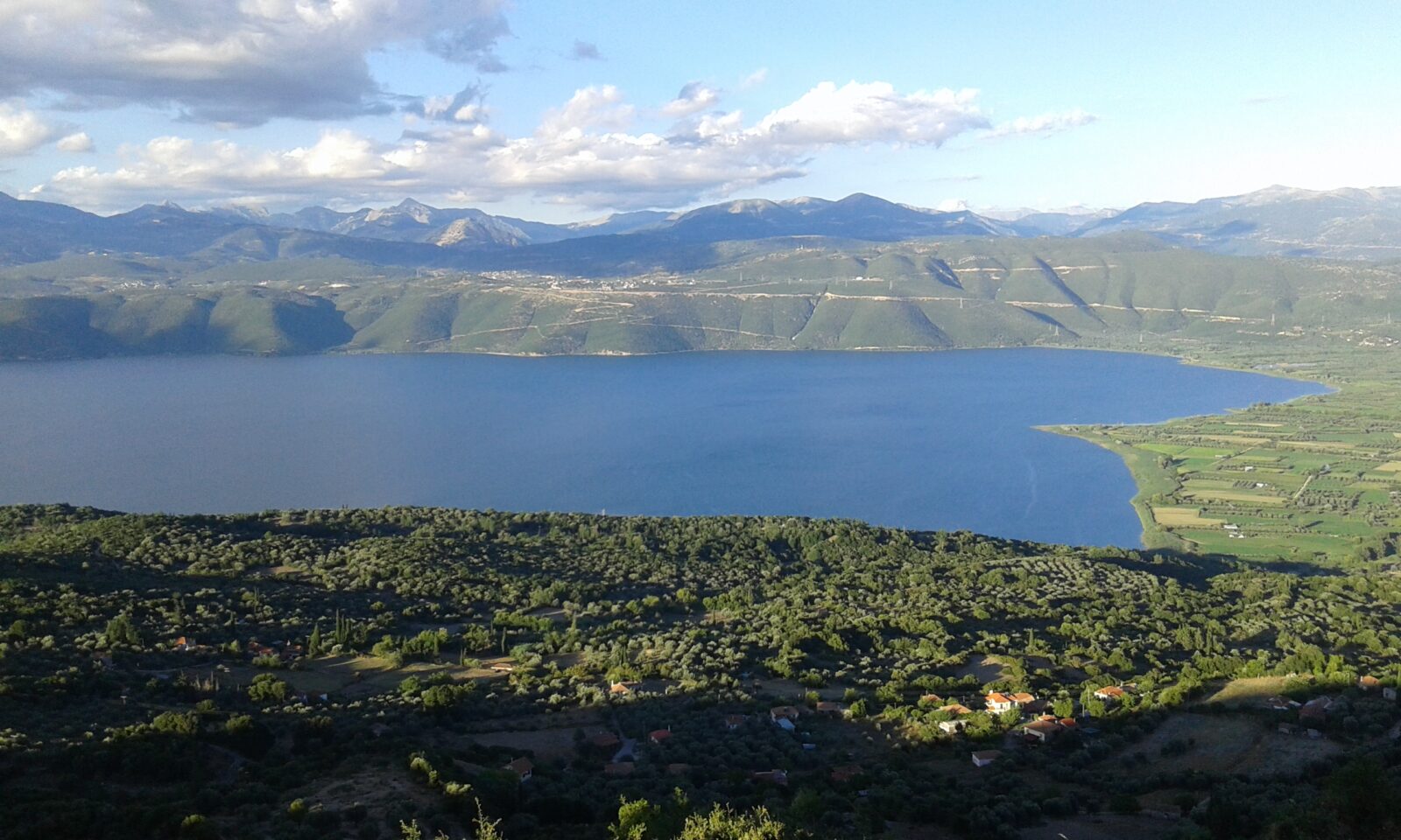 Photo: EviFast7 · CC BY-SA 4.0
 Photo: John Vlachopoulos · CC BY-SA 4.0
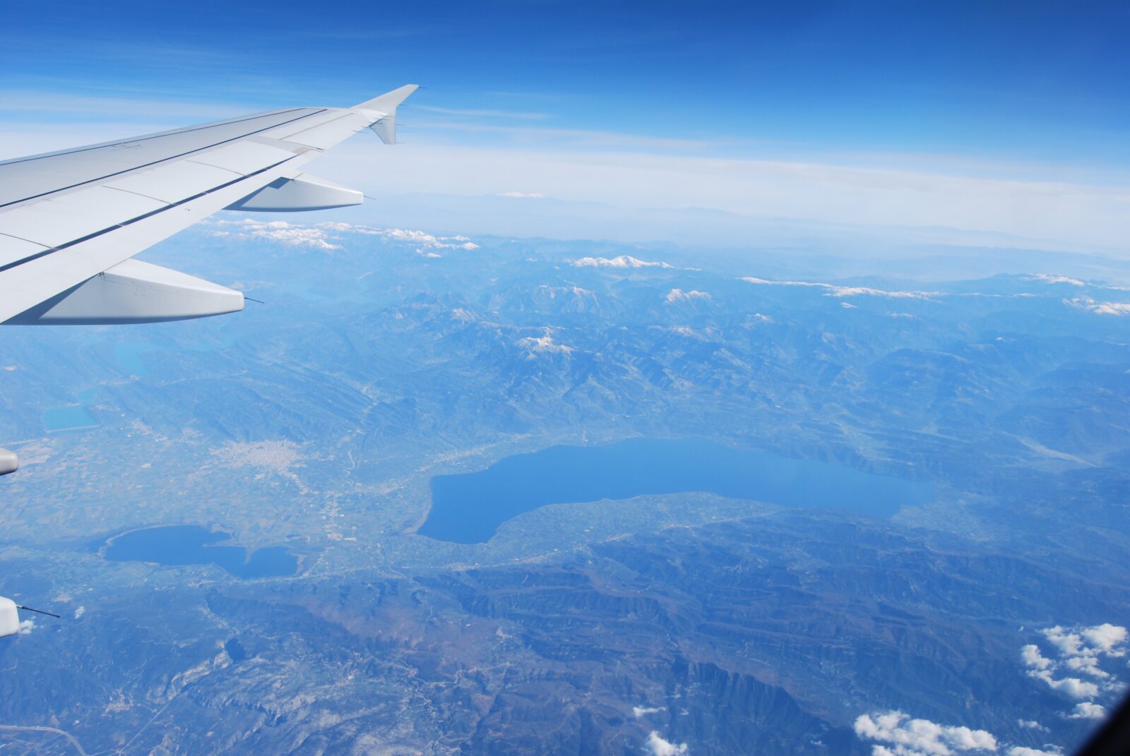 Photo: Durutomo · Public domain
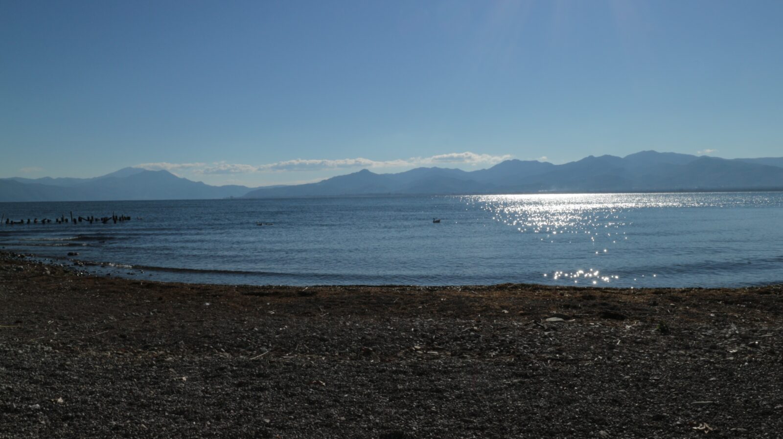 Photo: IliasBitsis · CC BY-SA 4.0
Visit
Getting there
Nearest settlement: Agrinio
Swimming
No reliable information
Tips
The lake is largely off the tourist track: the local economy is built on farming, not tourism, which is why many travellers ignore it. Its charm is quiet.
Cycling and villages
Komoot suggests road routes around both lakes, though most around Trichonida are rated difficult, with one easy and one moderate. The village of Thermo, near the lake, has archaeological sites. Myrtia is a popular spot, and beside the lake there is a green space of 37 stremmata (about 3.7 hectares) with centuries-old plane trees. Agrinio is the nearest large town, about 5 km from Lysimachia.
Nearby lakes
Show on map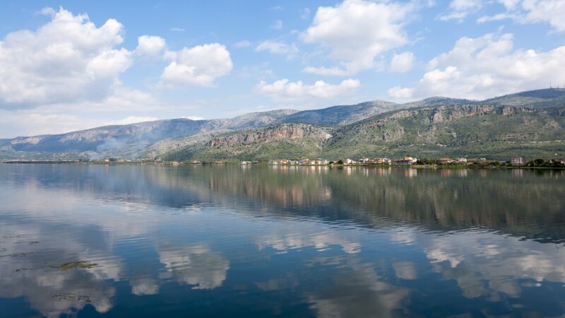


Know Lake Trichonida well?
Suggest a beach, viewpoint, trail or amenity, or tell us if something has changed. We read every message.
Sources & data
- Greece's 2022 Water Framework Directive reporting to the EEA: lake (LW) and transitional (TW) water bodies, field cArea, European Environment Agency (WISE WFD), reported by Greece, 2022
- OpenStreetMap: Λίμνη Τριχωνίδα (relation 8877423), OpenStreetMap contributors
- Wikidata: Lake Trichonida (Q1422965), Wikimedia Foundation
- English Wikipedia: Lake Trichonida, Wikimedia Foundation
- Λίμνη Τριχωνίδα, AllOverGreece
- Λίμνη Λυσιμαχία, AllOverGreece