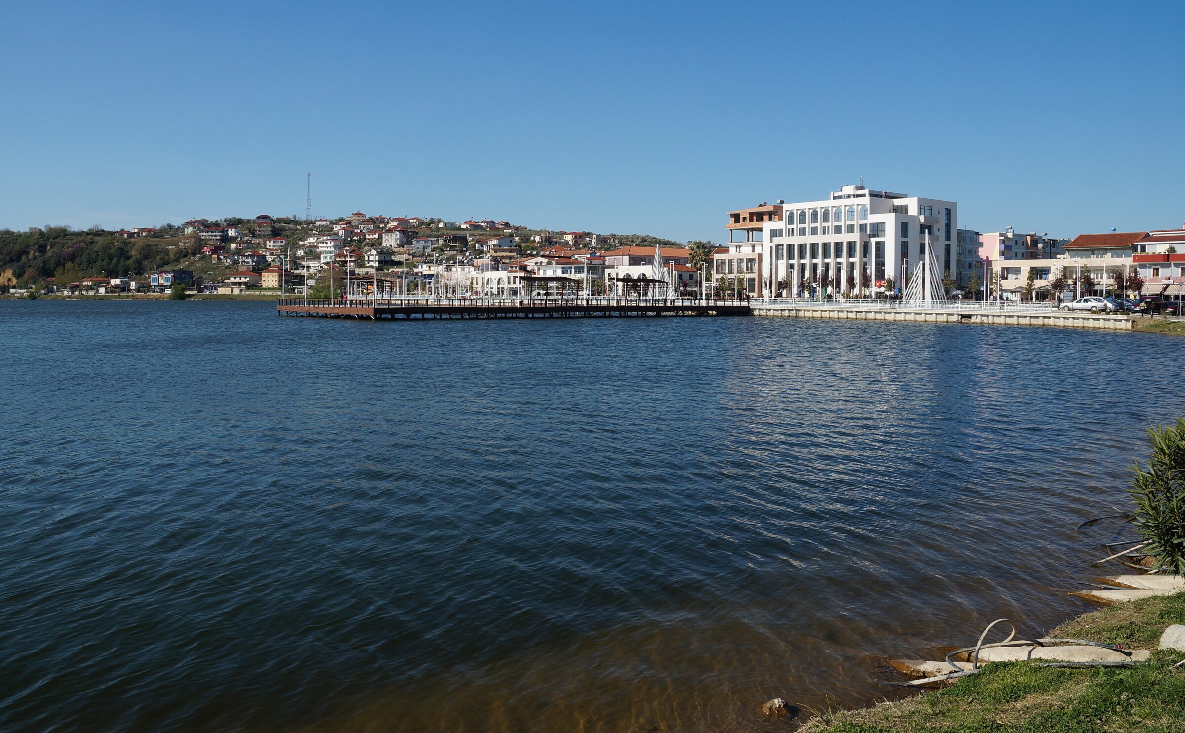
One of the larger lakes of the Dumre plateau and the town lake of Belsh, with a lakeside promenade; a karst lake.
How it formed
This is one of more than 80 natural karst lakes in the municipality of Belsh, formed when caves and hollows in the gypsum rock collapsed and filled with water. They differ in size, depth and shape, and some are used to irrigate farmland.
History
On Gradishte hill, researchers in the 1970s found the foundations of a castle, with Illyrian ornaments and coins. The hill has a panoramic view of the region.
Nature
Carp, bream and grass carp live in the lakes, and white and yellow water lilies grow on some of them.
Gallery
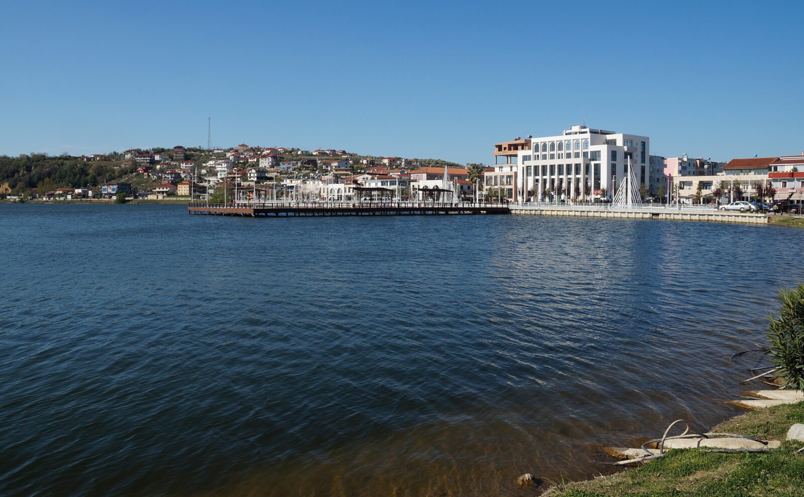
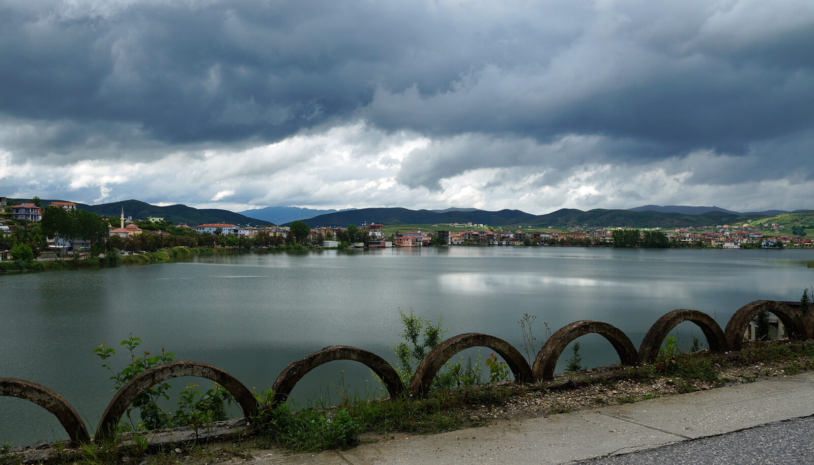


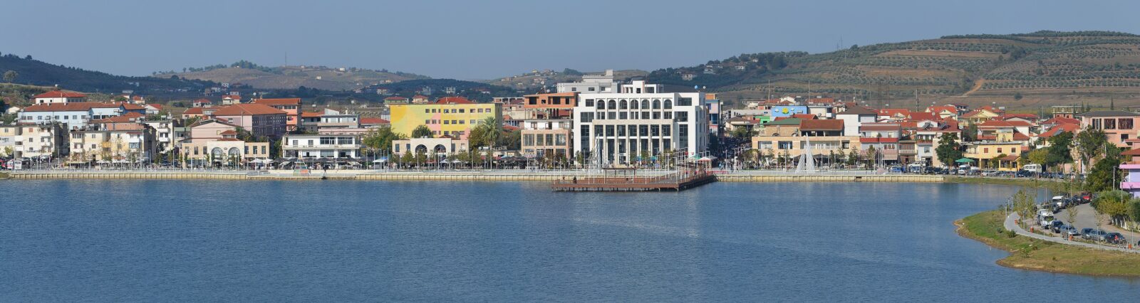 Photo: Pasztilla aka Attila Terbócs · CC BY-SA 4.0

Visit
Getting there
Nearest settlement: Belsh
Swimming
No reliable information
Tips
Belsh is about 40 minutes from Tirana. The lake has a newly designed waterfront with swimming areas and a short boat ride for a small fee, and a narrow track around it suits bicycles, which can be rented locally. New bike and hiking paths link Belsh with the nearby villages and lakes, among them Seferan, about 3 km away, with its statue of Aphrodite by the water.
Lake fish is the draw at the waterfront taverns; look out too for local olive oil and saffron, sold as a souvenir. June, August and September are the most pleasant months, and guesthouses have opened in recent years. See the Belsh Lakes page.
Nearby lakes
Show on mapKnow Liqeni i Belshit well?
Suggest a beach, viewpoint, trail or amenity, or tell us if something has changed. We read every message.
Sources & data
- Albanian Wikipedia: Liqeni i Belshit, Wikimedia Foundation
- OpenStreetMap: Liqeni i Belshit (way 152885110), OpenStreetMap contributors
- Wikidata: Liqeni i Belshit (Q22012223), Wikimedia Foundation
- Belsh, Plizio
- Dumre Lakes, National Tourism Agency of Albania
- Things to do in Belsh, Albania 360
- Discover the unique countryside of Belsh and Dumre, Euronews Albania