Liqeni i Merhojës is one of the deepest of the 82 lakes of the Dumre plateau, up to 61 m deep and fed by rainwater, near Seferan in the municipality of Belsh. It is the main outdoor centre of the area.
How it formed
Like the other lakes of Dumre, it was shaped by underground processes in the plateau’s karst rock.
Visit
Swimming
No reliable information
Tips
You can canoe, kayak and paddleboard here and play mini golf, and in October the sun can still warm the water enough for a light swim. The lake is on the south side of Belsh, near Seferan.
Nearby, Seferan has boat rides, bicycles and a lakeside restaurant, and guesthouses serve saffron tea and bread with local olive oil, with views of the Gradishta cliff and the ruins of Belsh castle.
Nearby lakes
Show on map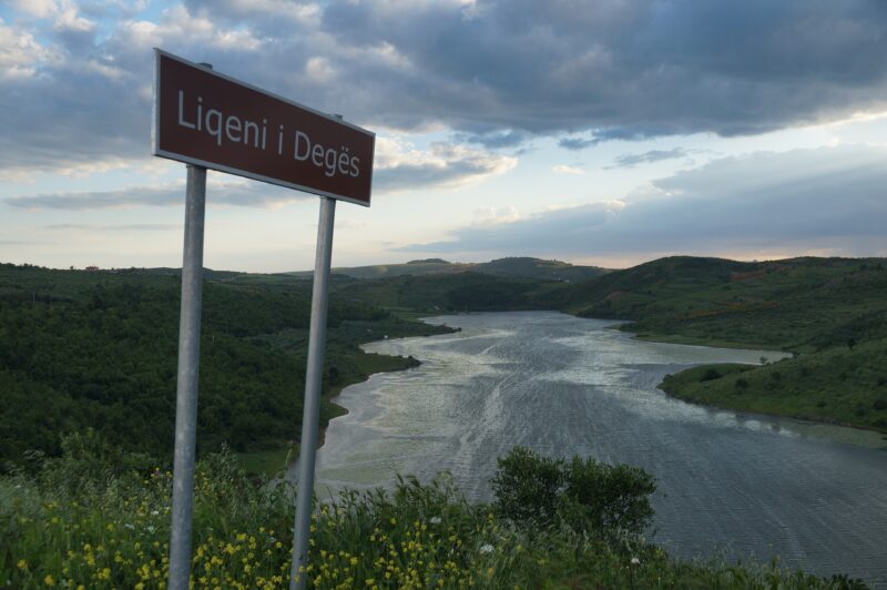

Know Liqeni i Merhojës well?
Suggest a beach, viewpoint, trail or amenity, or tell us if something has changed. We read every message.
Sources & data
- OpenStreetMap: Liqeni i Merhojës (way 30909702), OpenStreetMap contributors
- Albanian Wikipedia: Liqeni i Merhojës, Wikimedia Foundation
- Wikidata: Liqeni i Merhojes (Q22009795), Wikimedia Foundation
- Liqeni i Merhojës, Belsh, PINE Albania
- Belsh: make the most of your weekend, Into Albania