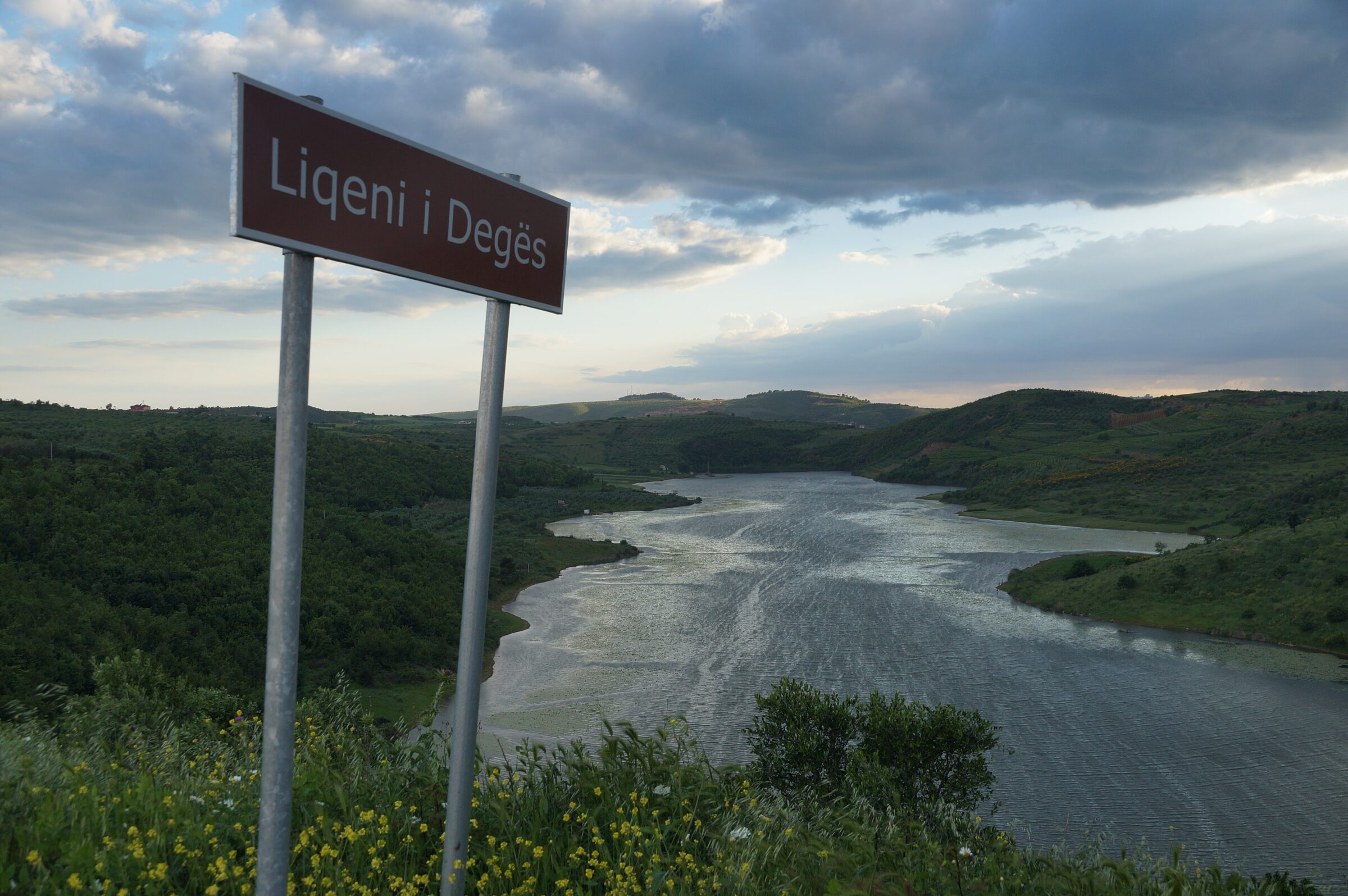

Liqeni i Degës is one of the lakes of the Dumre karst plateau, near Fierzë in the municipality of Belsh, in a region of hills, vineyards and olive groves. It is one of the Dumre lakes recommended for a boat ride.
How it formed
Like the other lakes of Dumre, it formed when caves and hollows in the gypsum rock collapsed and filled with water. More than 80 of these natural karst lakes lie in the municipality of Belsh.
Nature
Carp, bream and grass carp live in the lakes of Dumre, and white and yellow water lilies grow on some of them.
Visit
Swimming
No reliable information
Tips
From Elbasan, the road runs through Belsh, Çepë and Fierzë to the lake. Dumre’s easy terrain and small roads suit cycling, walking and camping, and bicycles can be rented in Belsh, where guesthouses and lakeside restaurants serve lake fish.
Nearby lakes
Show on mapKnow Liqeni i Degës well?
Suggest a beach, viewpoint, trail or amenity, or tell us if something has changed. We read every message.
Sources & data
- Wikidata: Liqen i Degës (Q101208737), Wikimedia Foundation
- OpenStreetMap: Liqeni i Degës (way 30909719), OpenStreetMap contributors
- Lake Çestija, National Tourism Agency of Albania
- Dumre Lakes, National Tourism Agency of Albania
- Discover the unique countryside of Belsh and Dumre, Euronews Albania
- Things to do in Belsh, Albania 360