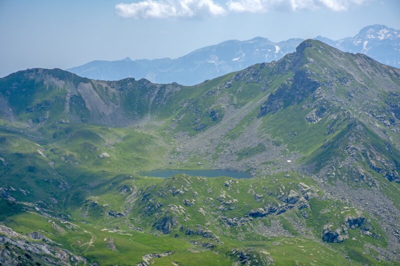
 Photo: Atdhebuja · CC BY-SA 4.0

Albania · Albanian Alps · Northern Albania
Lake Dashi
Glacial · natural
~23 kmaway
2,167 metreselevation
The Great Lake of Buni i Jezercës, the highest large lake of the Albanian Alps, on the Valbonë–Theth routes.
The lakes lie in a karst landscape north of Maja Jezercë, the highest peak of the Accursed Mountains, framed by rugged mountains. They hold water through much of the summer.
No reliable information
The walk starts in the Valbona valley and is about 10 km, with some 1,200 m of climbing to a pass and an off-trail descent to the lakes, in about five to seven and a half hours without breaks. It is technically straightforward but challenging, so carry a GPS track and wear proper boots. There is no water between Kukaj and the lakes; the only spring is on the eastern shore of the highest lake.
A return in one day is possible but intense, and a crossing to Theth in one day is not realistic: camp at the lakes, then go back or continue over the Peja pass to Theth. The easiest approach is from Vusanje in Montenegro. See the Albanian Alps Lakes page.
Photo: Atdhebuja · CC BY-SA 4.0Albania · Albanian Alps · Northern Albania
Glacial · natural
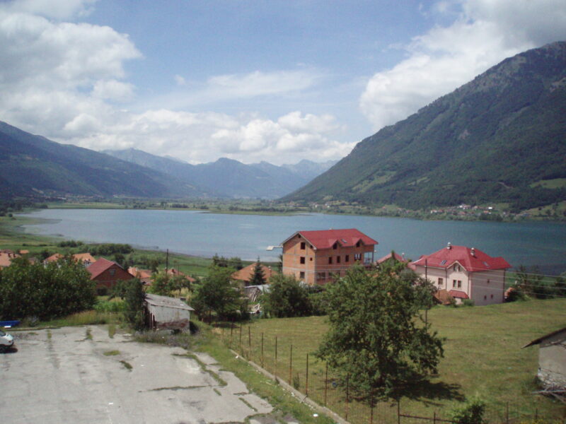 Photo: User:Chlämens · Public domain
Montenegro · Northern Montenegro · Prokletije
Glacial · natural
Montenegro · Northern Montenegro · Prokletije
Glacial · natural
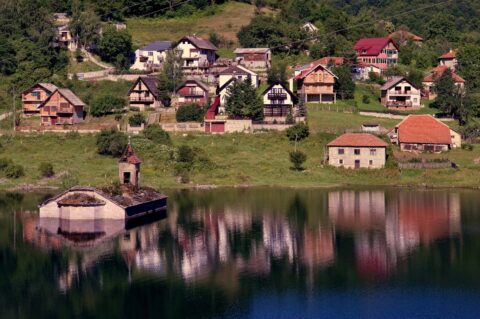
Floating islands, a tortoise island, a church standing in the water, a lake that turns into a football pitch and remote Prokletije lakes: seven off-the-beaten-path lake stops in the Balkans.
Suggest a beach, viewpoint, trail or amenity, or tell us if something has changed. We read every message.
Thank you. We read every suggestion.
