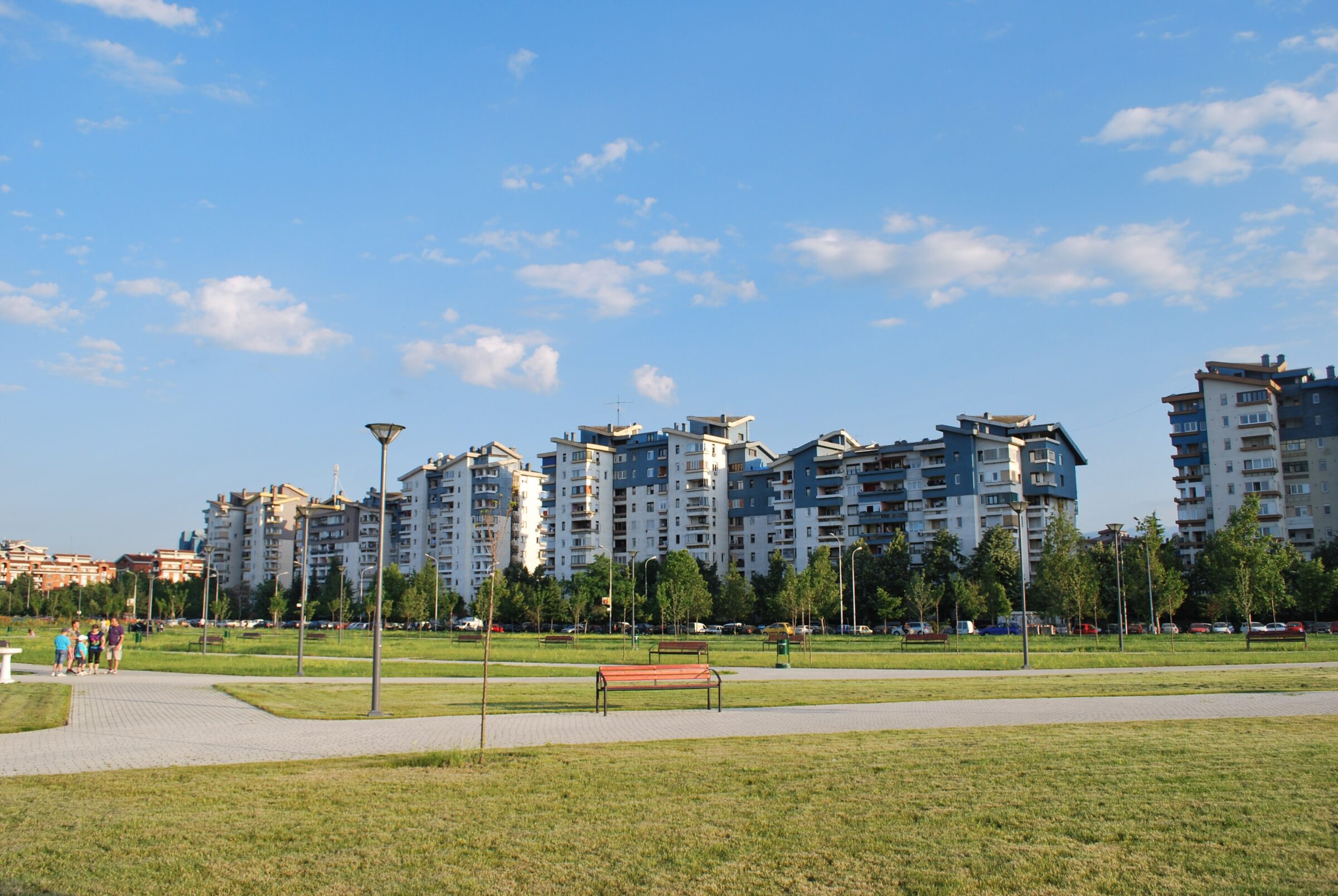
Photo: This illustration was made by Rašo. An email to Rašo would be appreciated too. · CC BY-SA 3.0
Lisiče is a reservoir at the foot of Jakupica in the municipality of Čaška, near Veles and the village of the same name, fed by the Topolka and the Vranovska.
How it formed
The lake mainly supplies drinking water to about 60,000 people in Veles and Čaška, and it also serves irrigation. A water tower 70 m tall stands in the middle of it, the tallest of its kind in the country.
Visit
Getting there
Nearest settlement: Veles
Swimming
No reliable information
Tips
This is a working drinking-water reservoir, so ask in Veles or Čaška about access to the shore before you go, and do not count on swimming or fishing.
Nearby lakes
Show on map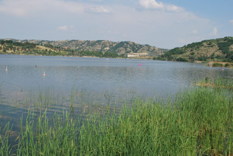


Know Lisiče well?
Suggest a beach, viewpoint, trail or amenity, or tell us if something has changed. We read every message.
Sources & data
- OpenStreetMap: ез. Лисиче (way 293419631), OpenStreetMap contributors
- Lisiče Lake, Art Boulevard