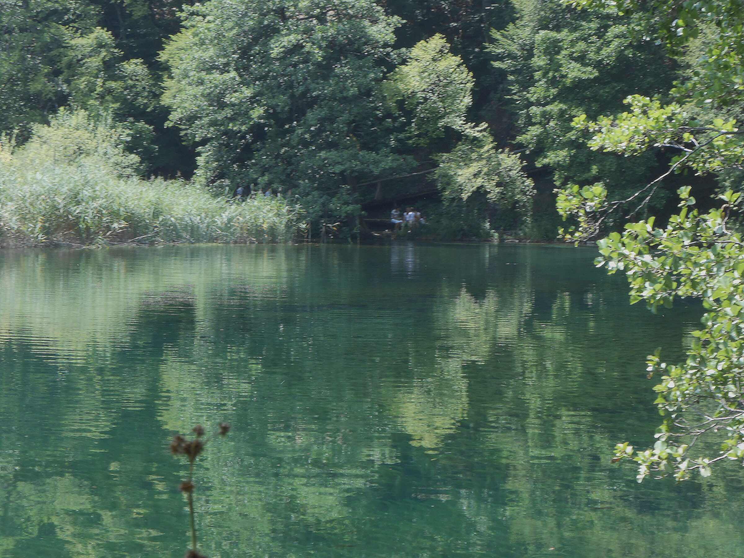
Photo: Matjaž Metaj · CC BY-SA 2.0
Okrugljak, also called Okrugljaj or Kruginovac, is one of the Upper Lakes of Plitvice, the third highest in the chain. It takes its name from its round shape, and it is deepest at its southern end, at the foot of the Labudovac barrier.
How it formed
Water reaches Okrugljak from Ciginovac over a waterfall on its north-western side and from Prošćansko jezero over the Labudovac falls, more than 20 m high, which spill across a broad, partly dried tufa barrier. Beneath the barrier lies a little world of hollows and caves, among them Janečekova pećina, whose entrance is now mostly hidden by falling water. At its southern end a low barrier lets the lake flow on into Veliko jezero.
Nature
Low vegetation and tufa barriers line the shores. In summer the water is light green to turquoise, and in spring and autumn it mirrors the colours of the surrounding woods.
Visit
Swimming
No reliable information
Tips
Wooden walkways and woodland paths go all the way round the lake.
The lakes lie in Plitvice Lakes National Park, Croatia’s first, proclaimed in 1949 and on the UNESCO World Heritage List since 1979. Swimming is strictly prohibited, as are feeding animals, picking plants and leaving the marked paths and boardwalks. Spring and autumn, when the forests change colour, are the loveliest and quieter seasons.
Nearby lakes
Show on map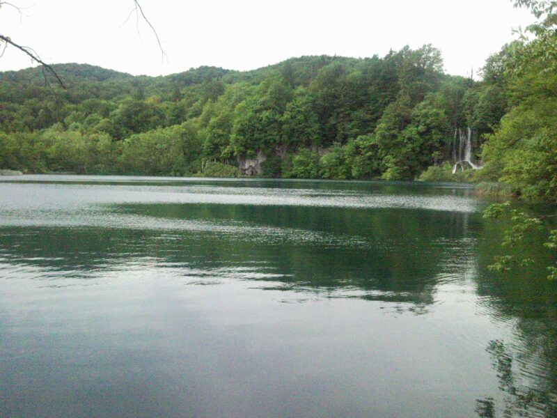


Know Okrugljak well?
Suggest a beach, viewpoint, trail or amenity, or tell us if something has changed. We read every message.
Sources & data
- Statistički ljetopis Republike Hrvatske 2004, table 1-11 "Jezera / Lakes", Državni zavod za statistiku, 2004
- Croatian Wikipedia: Okrugljak (jezero), Wikimedia Foundation
- Wikidata: Okrugljak (Q11105029), Wikimedia Foundation
- Okrugljak Lake (Jezero Okrugljak), Plitvice-Lakes.info
- General information, Plitvice Lakes National Park