Croatia · Lika-Karlovac
Ciginovac
Karst · natural
0.07 square kilometresarea
628.5 metreselevation
12 metresmax. depth
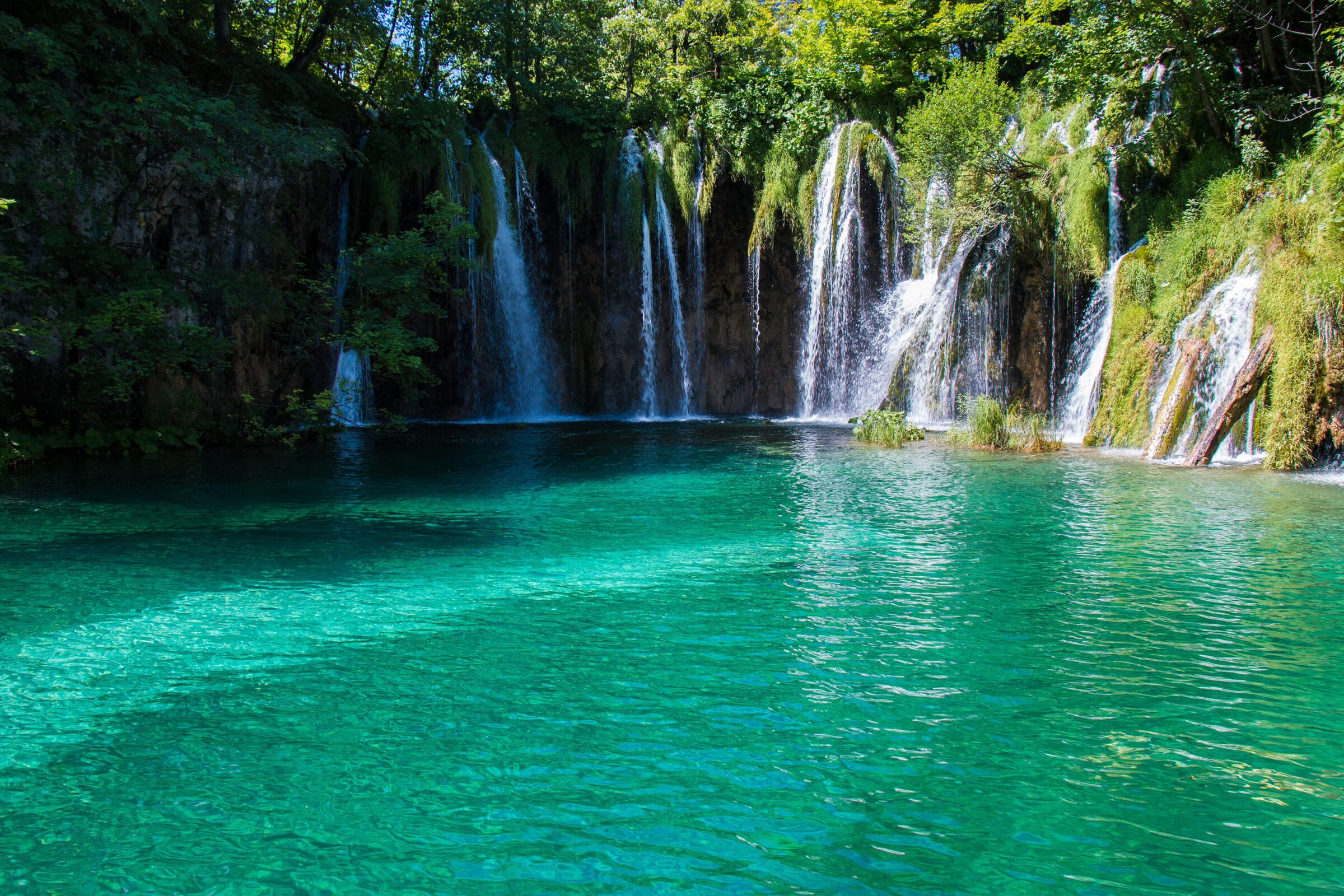
Photo: Tesla Delacroix · CC BY-SA 4.0
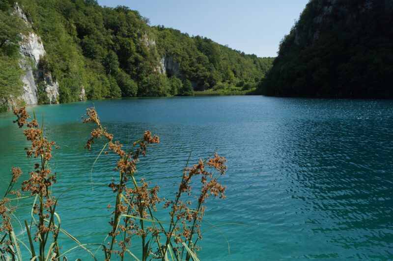
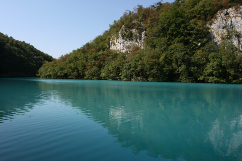
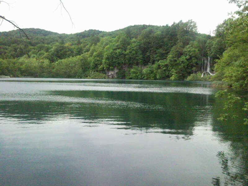
Plitvice Lakes are a series of tufa lakes arranged in cascades and joined by waterfalls, in the mountainous karst of central Croatia on the border with Bosnia and Herzegovina. They lie in Plitvice Lakes National Park, founded in 1949 and inscribed on the UNESCO World Heritage list in 1979. The lakes are renowned for their colours, from azure to green, grey or blue, which change constantly with the minerals or organisms in the water and the angle of the sunlight. The name Plitvice was first written down in 1777 and comes from the shallow basins (pličina, plitvak) that nature formed there: barriers of travertine slow and hold back the flowing water, and these natural dams keep growing in height.
Map unavailable. The list keeps working.
Pinch to zoom. Pan with two fingers.
Ctrl+scroll to zoom (Cmd+scroll on Mac)
Croatia · Lika-Karlovac
Karst · natural
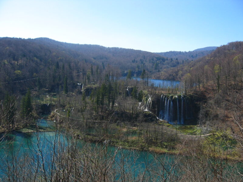 Photo: Minestrone · Public domain
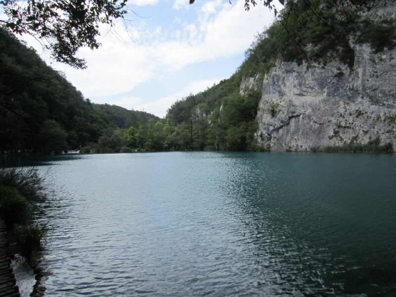 Photo: Dickelbers · CC BY-SA 3.0
Croatia · Lika-Karlovac
Karst · natural
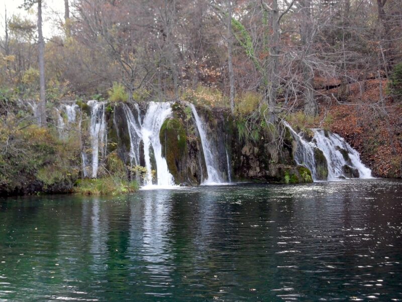 Photo: Sandor Bordas · CC BY-SA 3.0
Croatia · Lika-Karlovac
Karst · natural
Croatia · Lika-Karlovac
Karst · natural
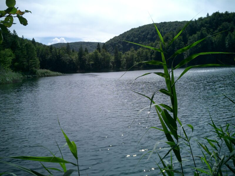 Photo: West Brom 4ever · Public domain
Croatia · Lika-Karlovac
Karst · natural
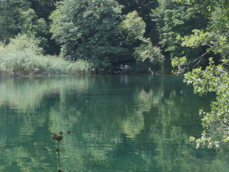 Photo: Matjaž Metaj · CC BY-SA 2.0
Croatia · Lika-Karlovac
Karst · natural
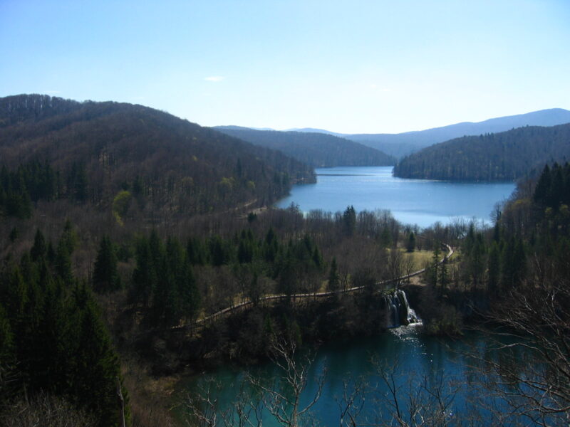 Photo: Minestrone · Public domain
Croatia · Lika-Karlovac
Karst · natural
Suggest a beach, viewpoint, trail or amenity, or tell us if something has changed. We read every message.
Thank you. We read every suggestion.