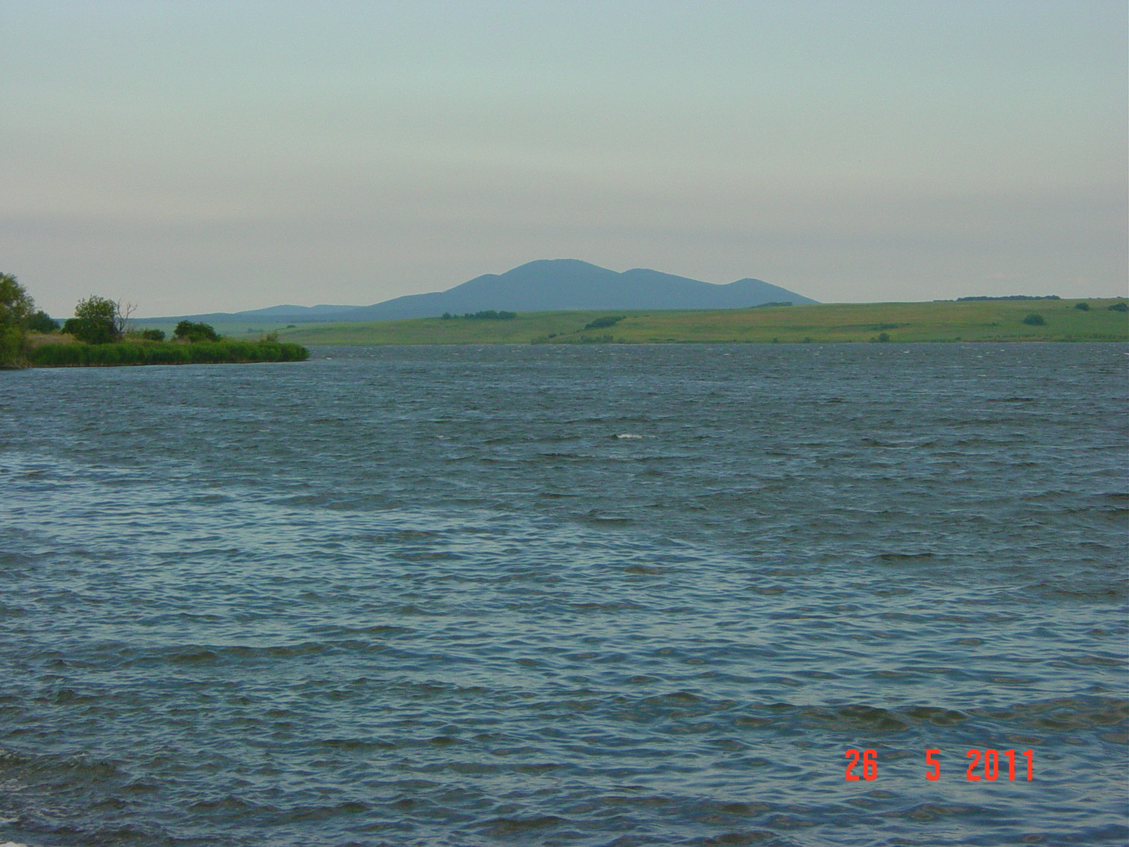
Photo: Nikolai Karaneschev · CC BY 3.0
The Ovcharitsa reservoir lies where Sliven, Stara Zagora and Yambol provinces meet, about 40 km south-west of Yambol and 47 km south-east of Stara Zagora, at about 135 m. It is about 8 km long and up to 1.6 km wide, and it serves the Maritsa Iztok 2 power station next to it.
How it formed
Designed in the early 1960s and opened in 1967, it was reshaped during construction to meet the drainage needs of the expanding Troyanovo-Sever mine. It supplies and cools water for the power station, and because its own catchment is too small, more water comes from the Tundzha by way of a canal from Hanovo to Skalitsa. Warm water from the plant flows into it, so the lake does not freeze, and it stays at around 18 °C on average.
Nature
This is a Natura 2000 site, where up to about 45,000 waterbirds gather each year. Of 87 recorded species, 22 are in the Bulgarian Red Book, and it is an important wintering site for great cormorants, Dalmatian pelicans and greater white-fronted geese. Reeds line most of the shore, with willows the main trees.
Visit
Swimming
No reliable information
Tips
Road II-55 runs along the top of the main dam. This is a popular sport-fishing water, as the warmth lets fish feed all year and grow quickly, with carp, American and European catfish and bighead carp among nearly all the freshwater species. The power station runs a fishing competition here every year.
Nearby lakes
Show on map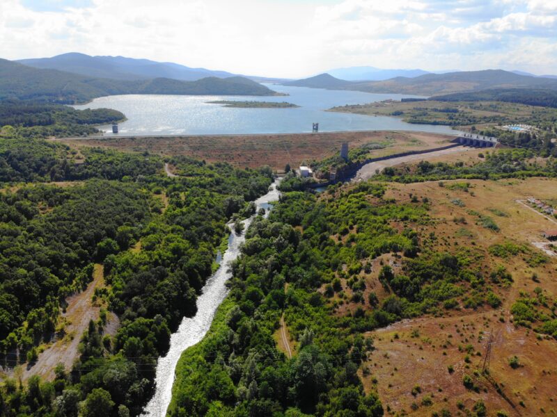


Know Ovcharitsa Reservoir well?
Suggest a beach, viewpoint, trail or amenity, or tell us if something has changed. We read every message.
Sources & data
- Bulgaria's 2022 Water Framework Directive reporting to the EEA: lake (LW) and transitional (TW) water bodies, field cArea, European Environment Agency (WISE WFD), reported by Bulgaria, 2022
- OpenStreetMap: яз. Овчарица (relation 6407787), OpenStreetMap contributors
- Wikidata: Ovcharitsa Reservoir (Q20498160), Wikimedia Foundation
- Bulgarian Wikipedia: Овчарица (язовир), Wikimedia Foundation