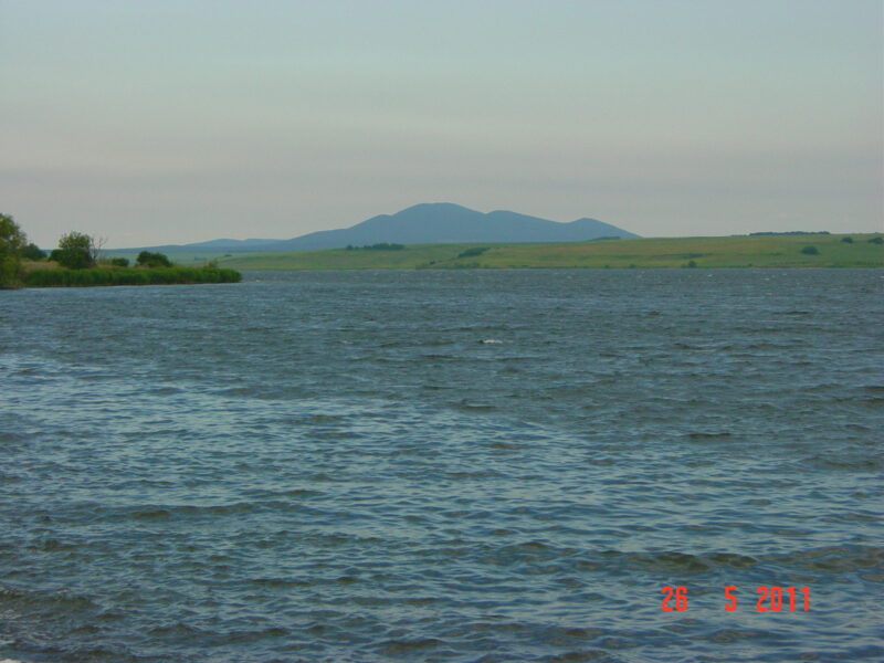
 Photo: Nikolai Karaneschev · CC BY 3.0
A reservoir near the town of Galabovo in Stara Zagora province, built in 1957–1960. It supplies industrial water and cooling for the power plants of the Maritsa-Iztok complex.
How it formed
It lies beside the Sokolitsa river, next to Galabovo and the Brikel power plant, about 2.8 km long and 1.5 km wide. It is held by an earth dam 1,285 m long and fed from the Sokolitsa and by pumping from the Sazliyka. The dam was raised in 1977 with a concrete parapet, to hold more water for a new power plant. It also cools water from the Brikel plant, so it stays fairly warm and does not freeze.
Nature
The warm water draws waterbirds, and about 142 species have been recorded, 34 of them in the Bulgarian Red Book and 5 globally threatened. This is a Natura 2000 site, internationally important for wintering cormorants, with Dalmatian pelicans and white-eyed pochards also in winter, and collared pratincoles on migration. Most of the shore is bare, with some black pine and acacia planted, and willow and poplar in the Sazliyka valley.
Visit
Swimming
No reliable information
Tips
Galabovo is right beside the lake. Winter is the time for birds. Anglers fish for carp, roach, catfish, silver carp and pike-perch. Ask locally about access to the shore, as this is a working reservoir for the power plants.
Nearby lakes
Show on map


Know Rozov Kladenets Reservoir well?
Suggest a beach, viewpoint, trail or amenity, or tell us if something has changed. We read every message.
Sources & data
- Bulgaria's 2022 Water Framework Directive reporting to the EEA: lake (LW) and transitional (TW) water bodies, field cArea, European Environment Agency (WISE WFD), reported by Bulgaria, 2022
- OpenStreetMap: яз. Розов кладенец (way 157014661), OpenStreetMap contributors
- Wikidata: Rozov Kladenets (Q20497991), Wikimedia Foundation
- Bulgarian Wikipedia: Розов кладенец, Wikimedia Foundation