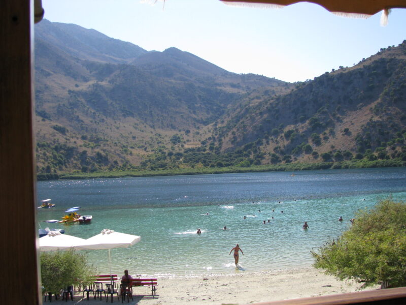
 Photo: Шнапс · CC BY-SA 3.0
The Potami reservoir lies in a green valley in the Amari district of Rethymno, about 25 km south of the town, north of Voliones and the Patsos gorge. It holds water all year and has become an artificial wetland and a place for leisure.
How it formed
Built in 2008 to supply extra water for irrigating the wider Rethymno area, the dam gathers water from the Patsos gorge, the small Pantanassa valley and the Stavromana stream.
History
Above the dam stands the ruined Koules of Potami, an Ottoman fort. In July 2014 firefighters reported a crocodile about 2 m long on the shore; attempts to catch it failed, and it died after the harsh winter, in March 2015.
Nature
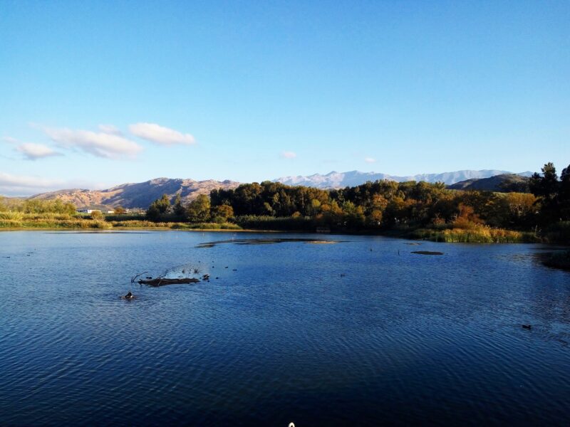
The lake holds a notable population of wintering birds, including threatened species, and many birds and other animals have been recorded around it.
Visit
Swimming
No reliable information
Tips
The Koules is just above the dam, and the church of Panagia Eleousa at Potami about a kilometre away. Walkers can go on to the gorges of Patsos, about 3 km off, with the cave of Agios Antonios, and of Kaminolakos and Prasses.
The monastery of Agios Antonios at Veni, the churches of Pantanassa and the Arkadi monastery, about 6 km away, can all be added to a day in the area, and the E4 long-distance trail passes nearby.
Nearby lakes
Show on map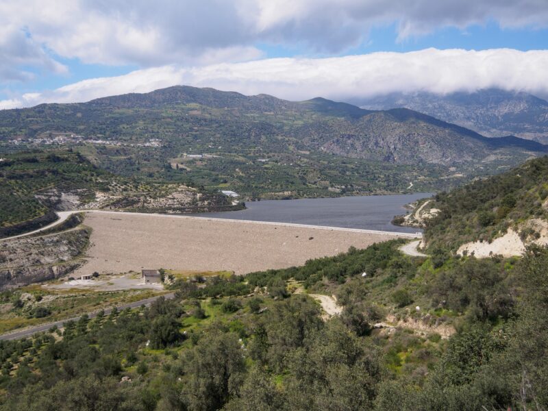


Know Potami Reservoir well?
Suggest a beach, viewpoint, trail or amenity, or tell us if something has changed. We read every message.
Sources & data
- Greece's 2022 Water Framework Directive reporting to the EEA: lake (LW) and transitional (TW) water bodies, field cArea, European Environment Agency (WISE WFD), reported by Greece, 2022
- OpenStreetMap: Λίμνη Ποταμών (way 157523632), OpenStreetMap contributors
- Greek Wikipedia: Λίμνη Ποταμών, Wikimedia Foundation
- Wikidata: Potamoi lake (Q18629933), Wikimedia Foundation
- Potami dam lake, Amari, Cretan Beaches
- Potamon dam lake, Discover Amari