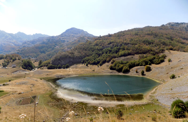
 Photo: BuhaM · CC BY-SA 4.0

Montenegro · Northern Montenegro · Prokletije
Bukumirsko jezero
Glacial · natural
0.02 square kilometresarea
1,448 metreselevation
16.8 metresmax. depth
The high lakes of Prokletije National Park, a named set. Hridsko jezero is the best known; the others are small mountain lakes, one with floating islands.
Map unavailable. The list keeps working.
Pinch to zoom. Pan with two fingers.
Ctrl+scroll to zoom (Cmd+scroll on Mac)
Photo: BuhaM · CC BY-SA 4.0Montenegro · Northern Montenegro · Prokletije
Glacial · natural
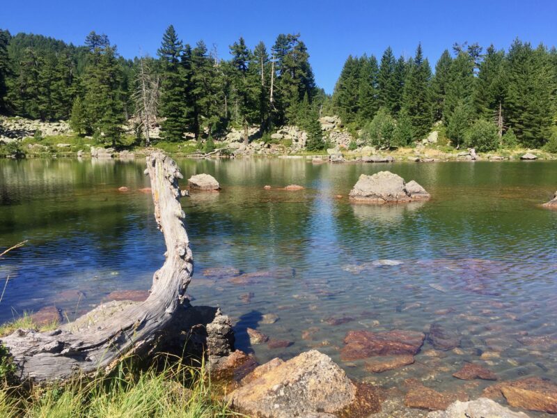 Photo: Bruno Rijsman · CC BY 2.0
Montenegro · Northern Montenegro · Prokletije
Glacial · natural
Montenegro · Northern Montenegro · Prokletije
Glacial · natural
Montenegro · Northern Montenegro · Prokletije
Glacial · natural
Suggest a beach, viewpoint, trail or amenity, or tell us if something has changed. We read every message.
Thank you. We read every suggestion.
