
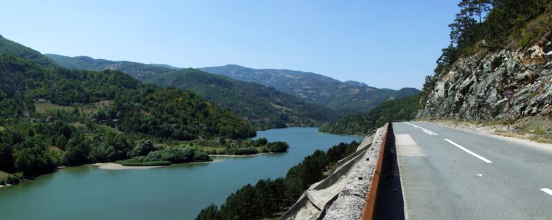
 Photo: Pudelek (Marcin Szala) · CC BY-SA 3.0
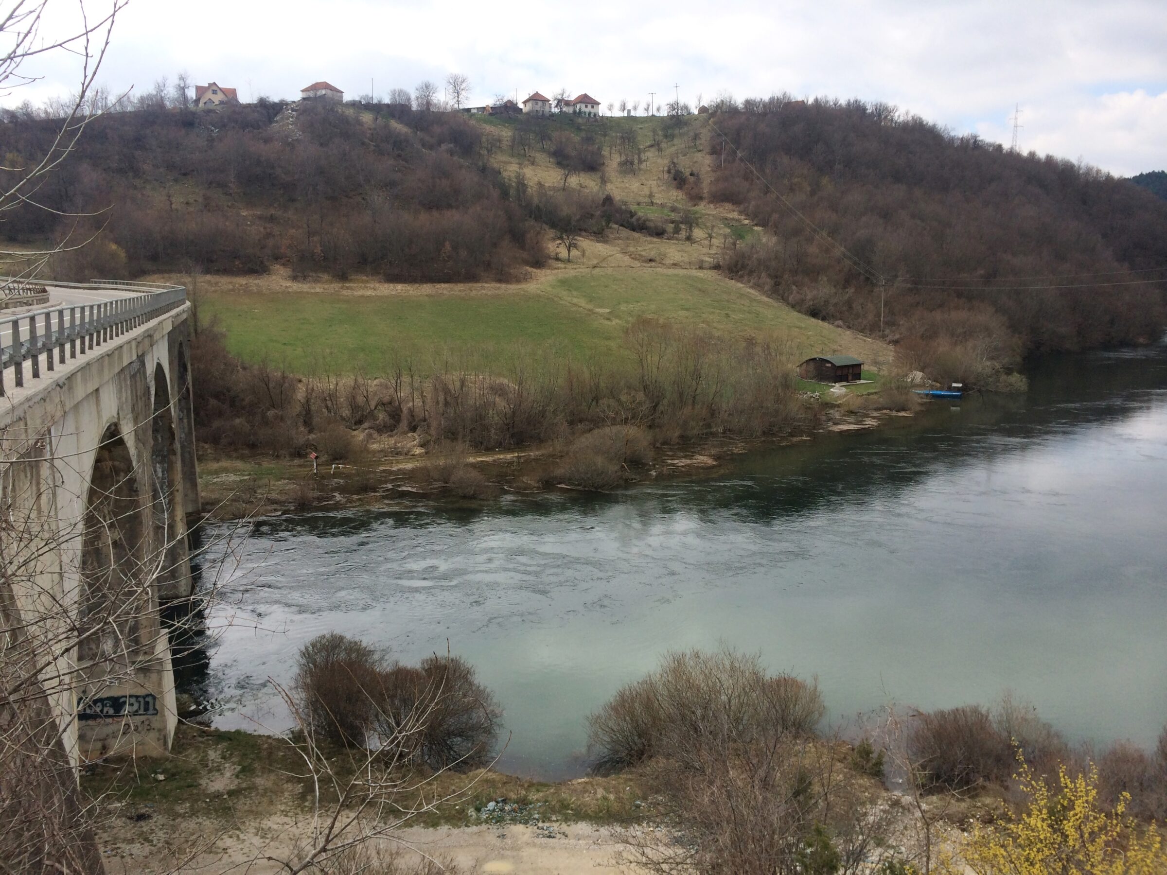
Photo: Bjoertvedt · CC BY-SA 4.0
Radoinjsko jezero is the third reservoir on the Uvac, downstream of Sjenica and Zlatar: a water-filled, meandering canyon about 11 km long between narrow limestone banks and conifer woods, on the Zlatar range near Nova Varoš. It is part of the Uvac Special Nature Reserve, and, tucked away from the main road, the quietest of the three Uvac lakes.
How it formed
The lake was made by a dam built 43 km up the Uvac from its meeting with the Lim. It also supplies Priboj with drinking water.
Nature
Griffon vultures nest on the surrounding cliffs and circle above them. Trout, nase, chub and char live in the cold water, which does not rise above 21 °C even at the height of summer. In the winter of 2022, two stray swans drew visitors to the lake; the reserve’s warden asked people not to feed them.
Visit
Swimming
No reliable information
Tips
The lake is a quiet place for a day by the water, but it stays cold for swimming. As it supplies drinking water and lies in a nature reserve, ask the reserve’s wardens before you bring a boat or kayak or plan to fish.
Nova Varoš is the nearest town. Combine it with Zlatar Lake and the boat trips on Sjenica Lake upstream.
Nearby lakes
Show on mapPhoto: Pudelek (Marcin Szala) · CC BY-SA 3.0
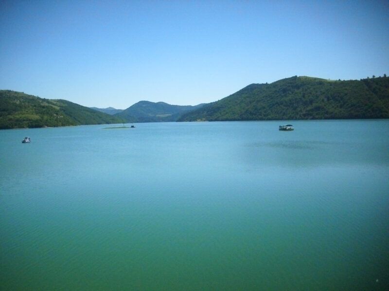 Photo: Јованвб · CC BY-SA 3.0

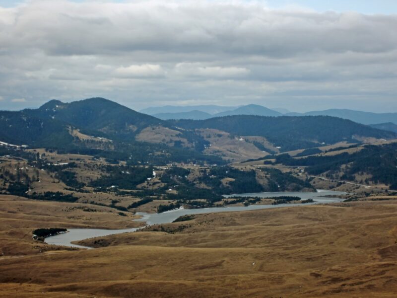 Photo: Marko Randjic · CC BY-SA 4.0

Know Radoinjsko jezero well?
Suggest a beach, viewpoint, trail or amenity, or tell us if something has changed. We read every message.
Sources & data
- Serbian Wikipedia: Списак језера у Србији, Wikimedia Foundation
- OpenStreetMap: Радоињско језеро (relation 11546110), OpenStreetMap contributors
- Serbian Wikipedia: Радоињско језеро, Wikimedia Foundation
- Wikidata: Radoinja Lake (Q12758116), Wikimedia Foundation
- Radoinja Lake, Western Serbia Tourism Region
- Radoinja Lake, a water gem in the Uvac Canyon, Telegraf
- Swans on Radoinjsko jezero (2022), Informer
- Priboj’s drinking water, Danas