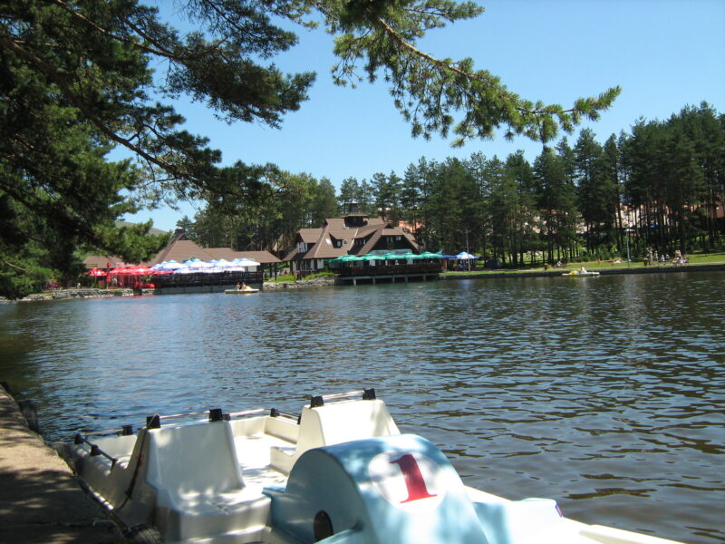
 Photo: Fortunato32 · CC BY-SA 3.0
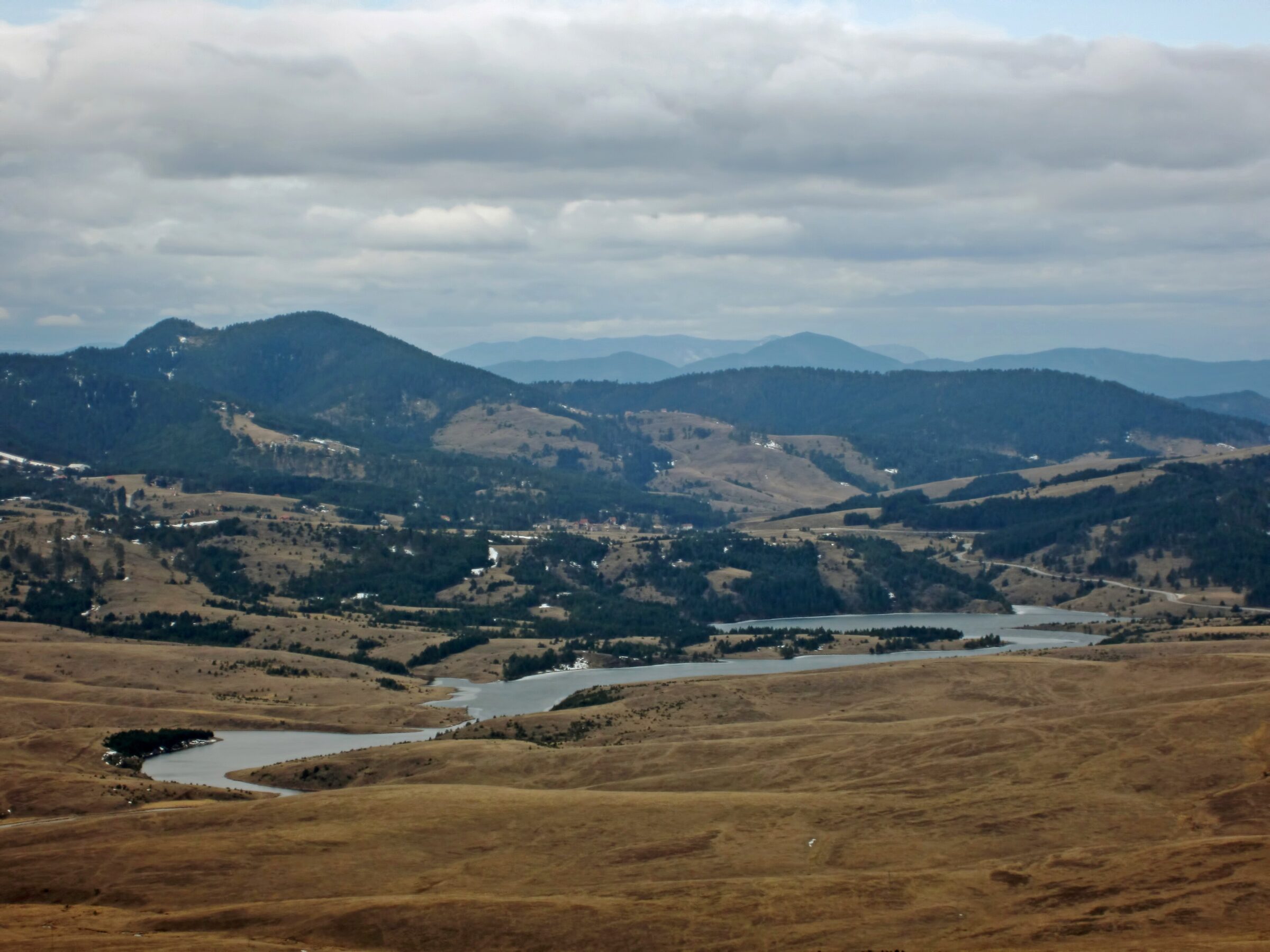
Photo: Marko Randjic · CC BY-SA 4.0
Ribničko jezero is a reservoir in the Crni Rzav canyon on Zlatibor, about 7–8 km from Kraljeve Vode, on the way to Tornik and the Uvac monastery. The second largest lake on the mountain, about 2 km long, it is known for its clear water over a dark, rocky bottom.
How it formed
The lake was created around 1970–71 by damming the Crni Rzav, and it supplies drinking water to Kraljeve Vode and Čajetina. The Crni Rzav later meets the Beli Rzav at Brdište to form the Rzav, which flows into the Drina at Višegrad.
Nature
The lake is rich in fish, among them chub, trout, carp, tench and wels catfish, which makes it popular with anglers.
Visit
Swimming
No reliable information
Tips
The lake is a few kilometres from the centre of Zlatibor, near the Tornik ski centre, and a summer walk along the shore is the classic way to see it. There are trails, and fishing is popular, but swimming and water sports are not allowed.
For a swim, go back to the lake at Kraljeve Vode, which is a summer bathing place.
Nearby lakes
Show on map


Know Ribničko jezero well?
Suggest a beach, viewpoint, trail or amenity, or tell us if something has changed. We read every message.
Sources & data
- Serbian Wikipedia: Списак језера у Србији, Wikimedia Foundation
- OpenStreetMap: Рибничко језеро (way 38440789), OpenStreetMap contributors
- Wikidata: None (Q49309027), Wikimedia Foundation
- Wikipedia: Ribnica Lake, Wikimedia Foundation
- Ribnica lake, SeeSrpska
- Zlatibor: hydrography, Tourist Organisation of Zlatibor