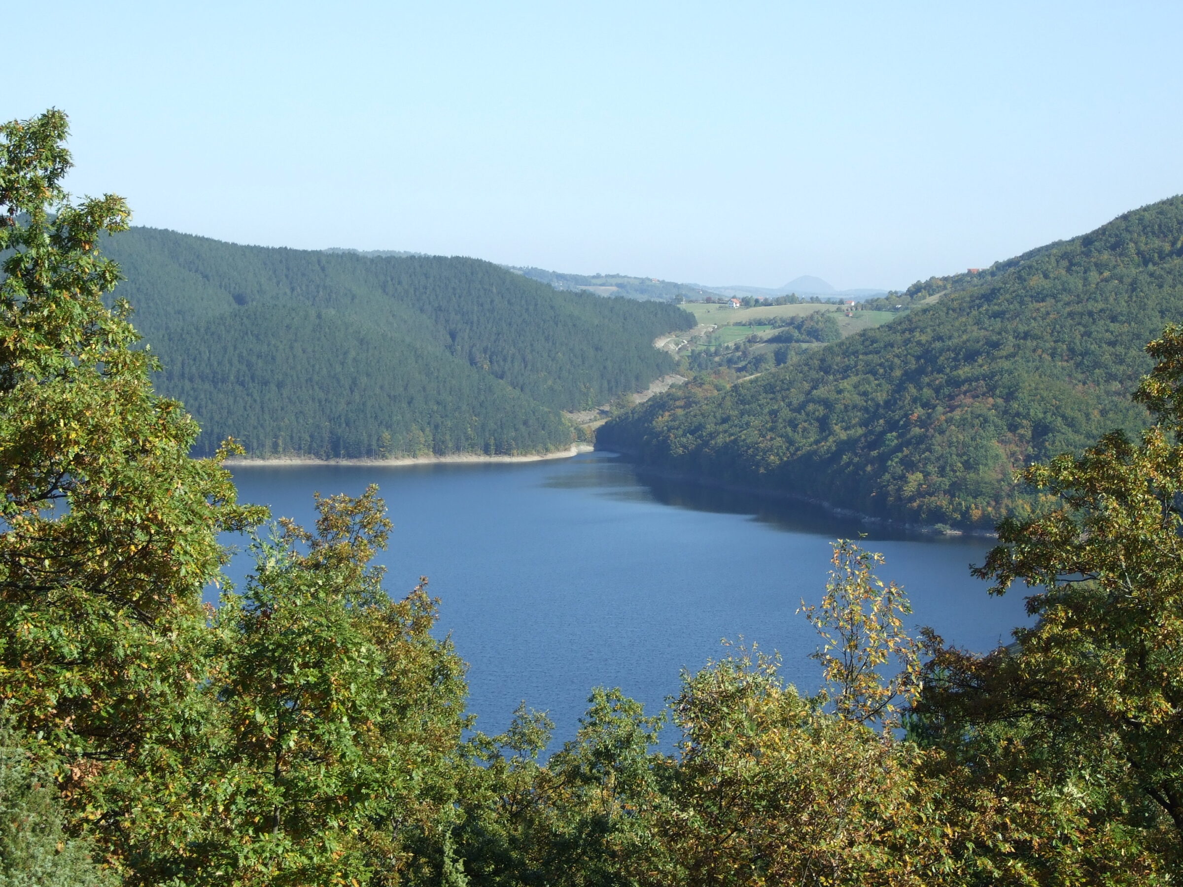
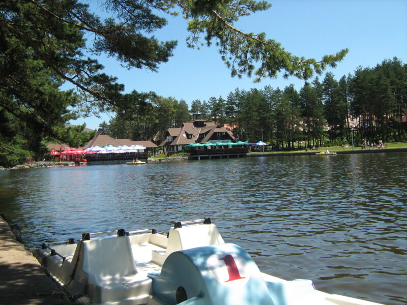
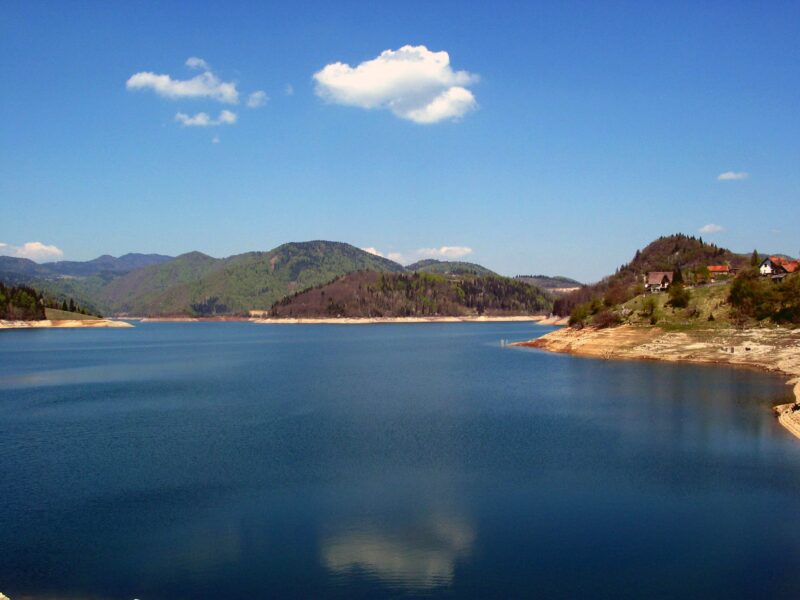
 Photo: Fortunato32 · CC BY-SA 3.0
Vrutci is a narrow reservoir about 7 km long on the Đetinja near the village of Vrutci, about 20 km from Užice, made in 1983 to supply the city with water.
History
In December 2013 a toxic bloom of the cyanobacterium Planktothrix rubescens made the water unfit to drink. Užice was without water for several days, until an emergency link to the Sušičko vrelo spring was built, and bathing and fishing in the lake were banned. Only in February 2019, after the treatment plant was modernised, was the water declared fit for public use.
Visit
Getting there
Nearest settlement: Užice
Swimming
No reliable information
Tips
Cyclists ride out from Užice, about an hour away, on demanding routes along the old railway line, mostly on paved surfaces. Local people bathe at Đokića livade near the dam and where the Đetinja enters the lake at Bioska, but these are unofficial spots, with no lifeguards, and a young man drowned at Bioska.
Bathing and fishing were banned after the algal bloom, so ask locally what is allowed today before you go into the water or cast a line.
Nearby lakes
Show on map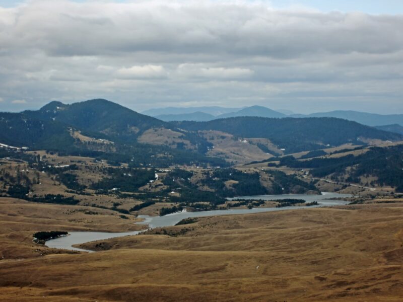


Know Vrutci Lake well?
Suggest a beach, viewpoint, trail or amenity, or tell us if something has changed. We read every message.
Sources & data
- Serbian Wikipedia: Списак језера у Србији, Wikimedia Foundation
- OpenStreetMap: Врутци (way 38591801), OpenStreetMap contributors
- Wikidata: Vrutci Lake (Q16897613), Wikimedia Foundation
- English Wikipedia: Lake Vrutci, Wikimedia Foundation
- Bathing places on Serbia’s lakes (2020), Novosti
- Vrutci Lake, Komoot