

Montenegro · Durmitor · Northern Montenegro
Vražje Lake
Glacial · natural
~0.9 kmaway
1,411 metreselevation
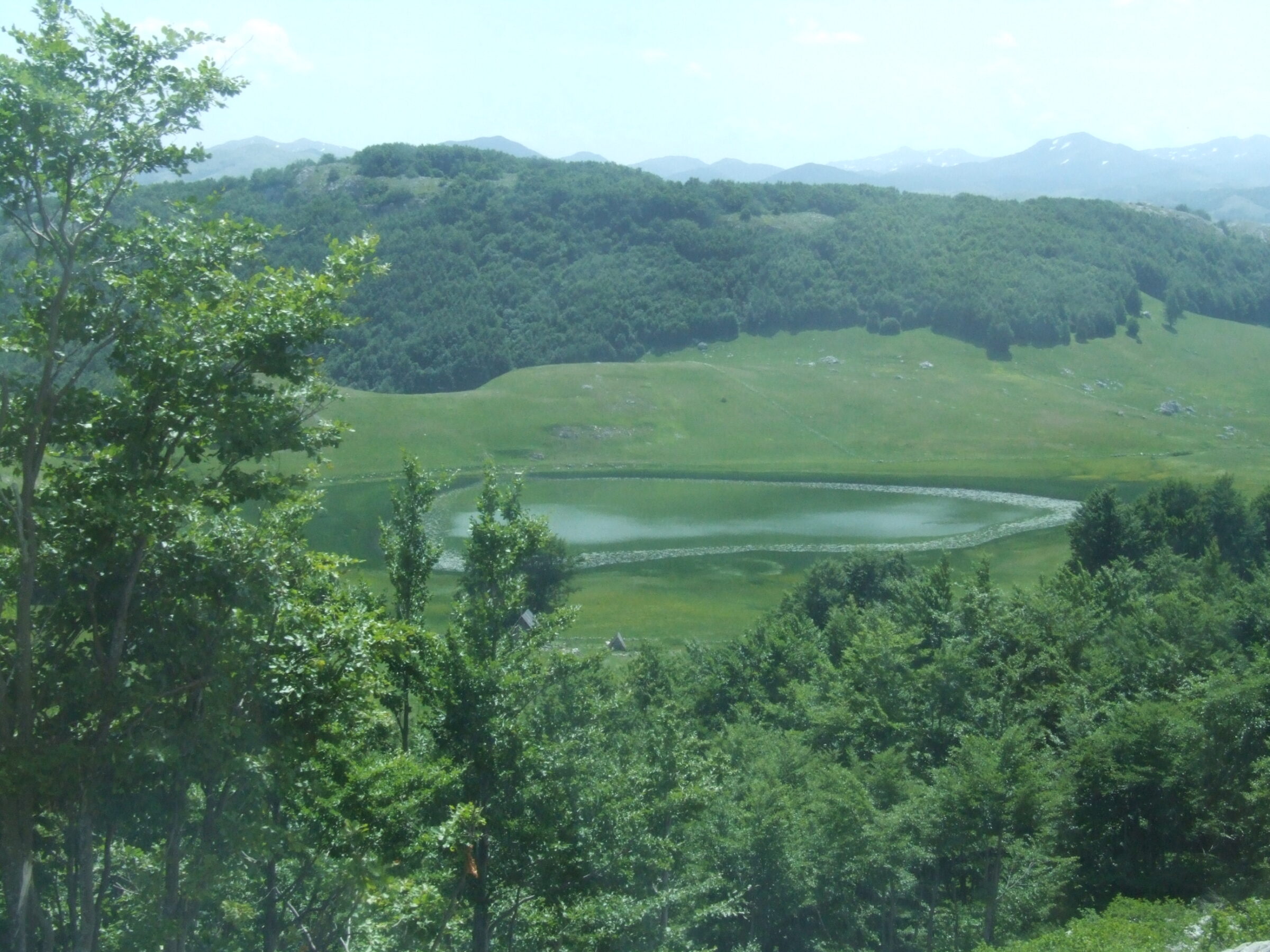
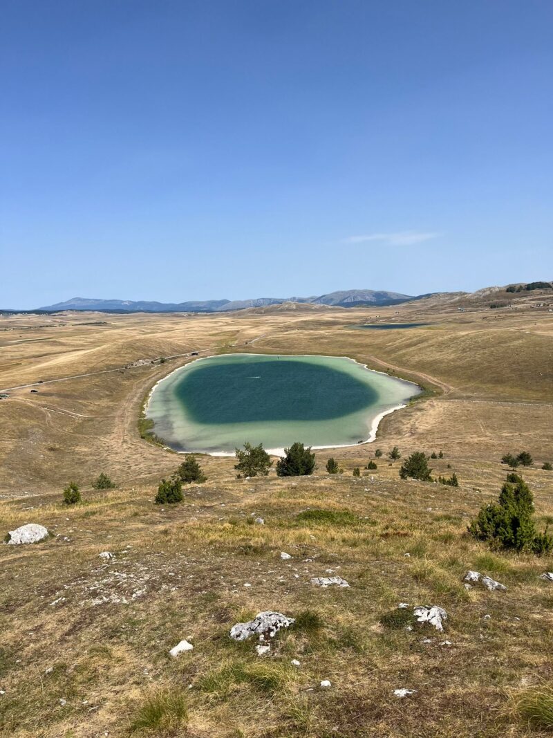
A lake on the Jezera plateau of Durmitor, held in a hollow between moraines that the melting glacier left behind.
The lake formed where water gathered in a hollow between moraines left by the melting glacier. It is shallow, and almost its whole shore has turned to peat bog; water plants cover most of the basin and, as they decay, cloud the water.
Opposite the lake lies a necropolis of stećci, the medieval tombstones of the region, attributed to a people known as the Kriči. The lake’s name, the Fish Lake, comes from the abundance of its fish.
No reliable information
The lake is reached by car across the Jezerska plateau from Njegovuđa, on the same road as Vražje jezero, and the stećci are worth a stop on the way.
The lake lies in Durmitor National Park, so keep to the tracks and the park’s rules.
Montenegro · Durmitor · Northern Montenegro
Glacial · natural
Suggest a beach, viewpoint, trail or amenity, or tell us if something has changed. We read every message.
Thank you. We read every suggestion.