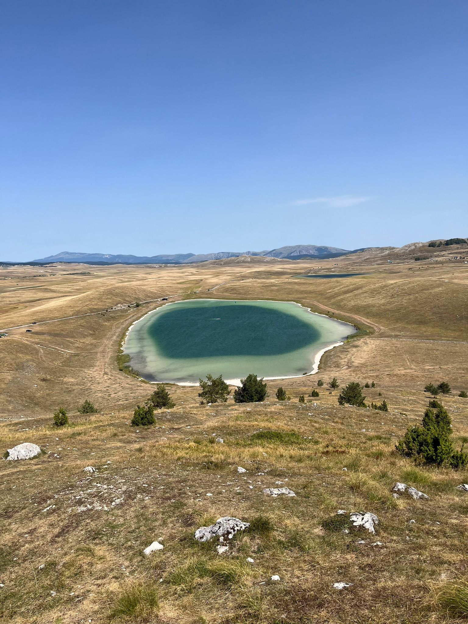
Vražje jezero, the Devil’s Lake, is a small glacial lake on the Jezerska plateau in Durmitor National Park, south-east of Žabljak beside the old road to Nikšić. Families come to picnic on its banks in summer.
How it formed
The lake is fed mainly by snowmelt and underground springs, and it often freezes over in winter.
History
Legend says the devil and his wife fled to the bottom of the lake and built themselves a palace of ice or crystal there, and that the devil drags down girls who swim in it. The water is said to show strange colours at times.
Visit
Getting there
Nearest settlement: Žabljak
Swimming
No reliable information
Tips
The lake is reached by car across the Jezerska plateau, on the road from Njegovuđa past Riblje jezero. People swim here in summer, though the water stays cool.
The lake lies in Durmitor National Park, so keep to the marked trails and the park’s rules.
Nearby lakes
Show on map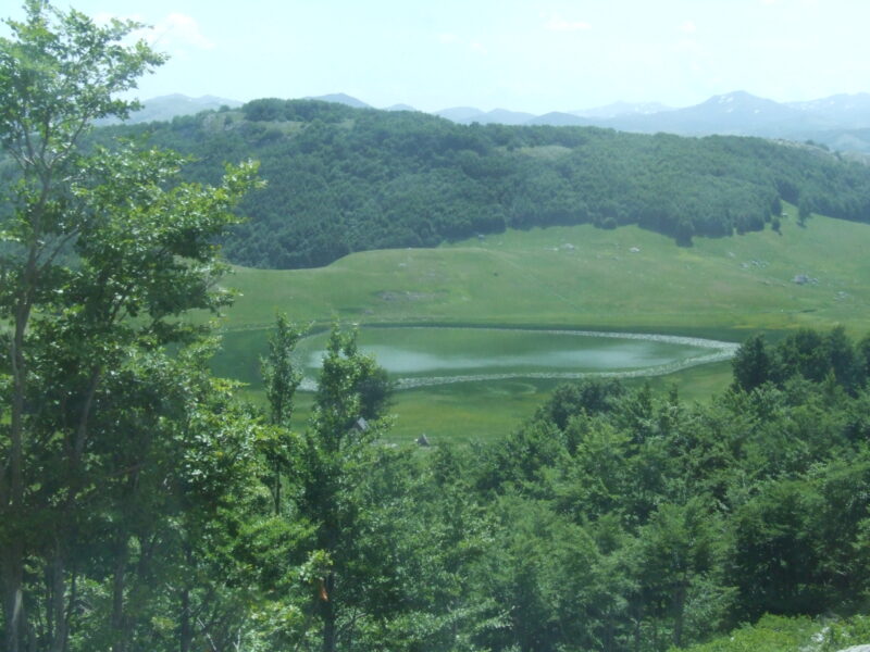


Know Vražje Lake well?
Suggest a beach, viewpoint, trail or amenity, or tell us if something has changed. We read every message.
Sources & data
- OpenStreetMap: Vražje jezero (way 62935319), OpenStreetMap contributors
- Wikidata: Vražje Lake (Q136080704), Wikimedia Foundation
- English Wikipedia: Vražje Lake, Wikimedia Foundation
- The ‘mountain eyes’ of Durmitor (2018), Montenegro for Me