 Photo: Smooth_O (talk · contribs) · CC BY 3.0
Bosnia and Herzegovina (Drina Valley) · Serbia
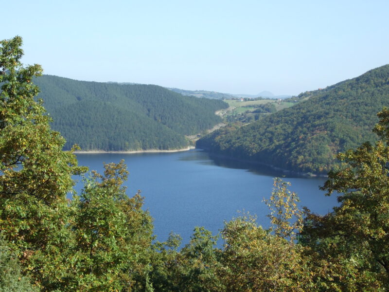
Perućac Lake
Reservoir · artificial
~41 kmaway
290 metreselevation
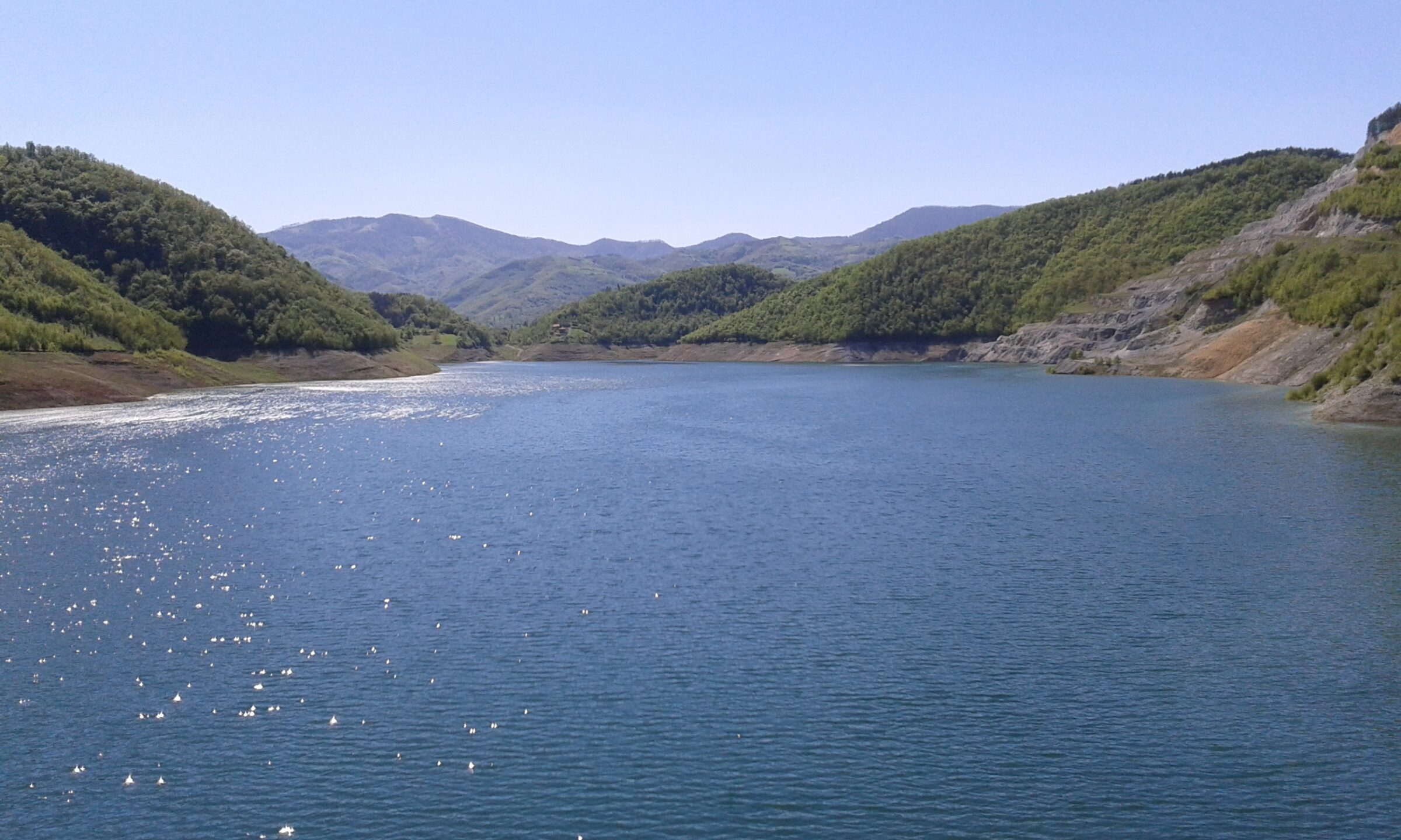
Photo: Boris Dimitrov · CC BY-SA 4.0
Rovni is a reservoir on the Jablanica in western Serbia, about 15 km from Valjevo, between the villages of Stubo and Rovni. It is one of the newer lakes in the country and was built as the heart of a regional water system for Valjevo and the towns of the Kolubara valley.
Work on the rock-fill dam with its clay core began in the late 1980s and dragged on for decades. It proved its worth during the floods of 2014, when the reservoir took in the surplus water and Valjevo, which often floods, reportedly suffered no damage.
Filling the reservoir in March 2016 submerged the 15th-century church of St Michael at Tubravić, known as Valjevska Gračanica, which led to public protests. It now lies at about 12 m, and divers can visit it.
Nearest settlement: Valjevo
No reliable information
Rovni is easiest to reach by car or taxi from Valjevo, with informal parking near the dam and along the access roads. There are easy walks along the dam crest, and longer routes lead into the Valjevo hills, among them to the viewpoint called the Great Rock. Bring food and water, as there is little near the dam.
This is a drinking-water reservoir, so swimming and fishing may be restricted or banned: check the posted signs before you go in or cast a line, and keep dogs on a lead near the water.
Photo: Smooth_O (talk · contribs) · CC BY 3.0Bosnia and Herzegovina (Drina Valley) · Serbia
Reservoir · artificial
Suggest a beach, viewpoint, trail or amenity, or tell us if something has changed. We read every message.
Thank you. We read every suggestion.