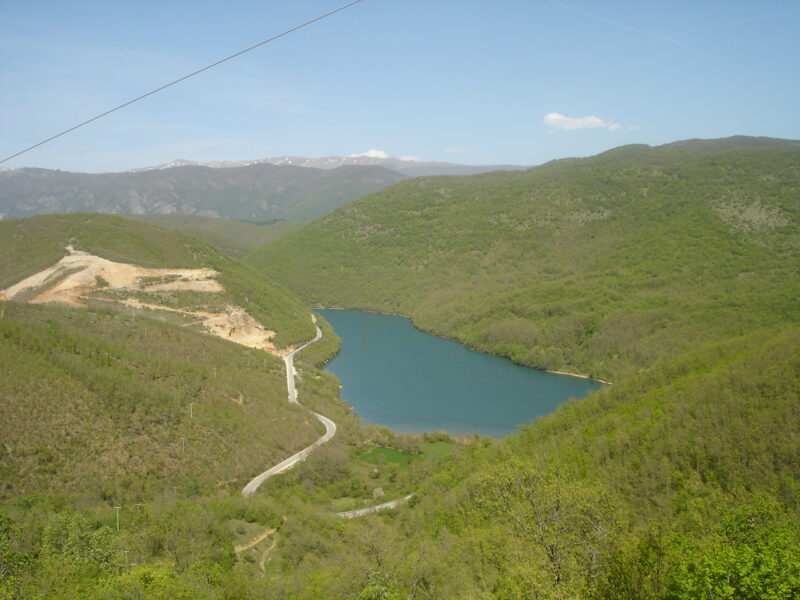
 Photo: Македонец · CC BY-SA 4.0
Slatinsko Ezero is an irrigation reservoir on the Mramorečka river in Debarca, just south of the village of Slatino, on the eastern slopes of Ilinska mountain.
How it formed
The earth dam, 15 m high, was built in 1961 and could water about 655 hectares. It cracked in 2013, and the reservoir was then drained while the dam was rehabilitated.
Visit
Getting there
Nearest settlement: Debarca
Swimming
No reliable information
Tips
Check whether the lake holds water before you make the trip for it, and ask locally about fishing.
In the village of Slatino, the 19th-century church of the Holy Mother and an older lower church, finished in 1858, are the main sights.
Nearby lakes
Show on mapPhoto: Македонец · CC BY-SA 4.0
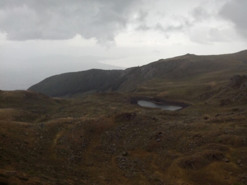 Photo: Krisaemilia · CC BY-SA 3.0

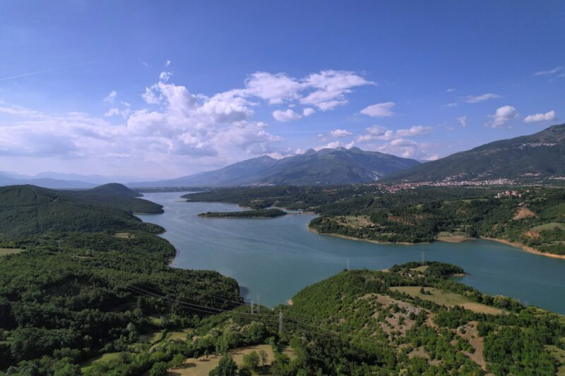 Photo: Dean Lazarevski · CC BY-SA 4.0

Know Slatinsko Ezero well?
Suggest a beach, viewpoint, trail or amenity, or tell us if something has changed. We read every message.
Sources & data
- OpenStreetMap: Слатинско Езеро (way 56219905), OpenStreetMap contributors
- Subsidiary Crn Drim, Ohrid, JSC Water Economy of North Macedonia
- Wikipedia: Slatino, Debarca, Wikimedia Foundation