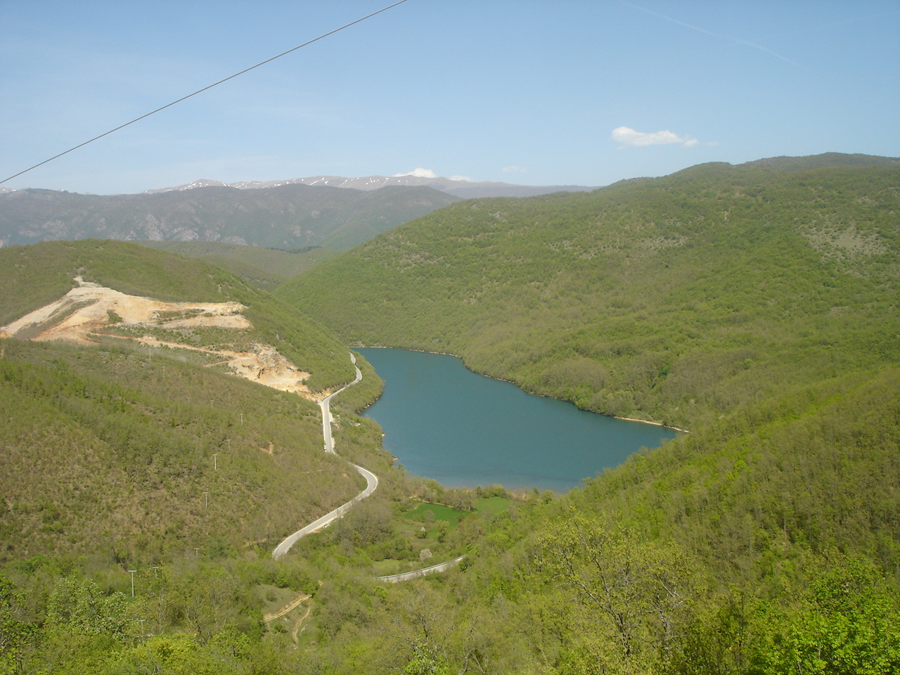
Photo: Македонец · CC BY-SA 4.0
Back to results
North Macedonia · Southwestern Region
Lake Globočica
Глобочица · Liqeni i Glloboçicës
A reservoir on the Black Drin upstream of Debar Lake, north-west of Struga.
How it formed
The lake was built in 1965, behind a dam 82.5 m high with a 42-megawatt hydroelectric plant. It stretches about 12 km along the Black Drin, which flows out of Lake Ohrid at Struga, and it works with Debar Lake downstream to regulate the river.
Visit
Getting there
Nearest settlement: Struga
Swimming
No reliable information
Tips
The lake is about 20 km north-west of Struga, in quiet, sparsely developed country with no commercial facilities. The isolated village of Globočica above it has wide views.
Keen cyclists can ride a long loop of about 95 km from Struga past the Black Drin to Debar Lake, mostly on paved roads and hard going. Within a few kilometres are several village churches, among them a submerged church of St Elijah, and the Jablanica mosque.
Nearby lakes
Show on map


Know Lake Globočica well?
Suggest a beach, viewpoint, trail or amenity, or tell us if something has changed. We read every message.
Sources & data
- Wikidata: Lake Globočica (Q1531789), Wikimedia Foundation
- OpenStreetMap: Езеро Глобочица (relation 7395879), OpenStreetMap contributors
- Macedonian Wikipedia: Глобочица (езеро), Wikimedia Foundation
- Lake Globočica, Aroundus
- Globočica Lake, Komoot