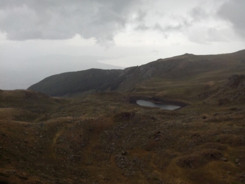
 Photo: Krisaemilia · CC BY-SA 3.0
Podgorečko Ezero is a glacial lake high on Jablanica, on the Albanian border near Struga, above the village of Podgorci. It is the largest of the four glacial lakes of the mountain, about 226 m long and up to 10 m deep.
How it formed
Streams and rain and snow feed the lake, and a stream flows out of it.
Visit
Swimming
No reliable information
Tips
The trail starts in the village of Podgorci: about 7.5 km one way with some 950 m of climbing, around three and a half hours up, and a fairly demanding walk. It runs through dense beech forest and high meadows, and hikers often camp by the lakes.
Crn Kamen, the highest peak of the mountain, has views of Lake Ohrid, Lake Prespa and the Albanian mountains, and the other Jablanica lakes are within reach. Wild blueberries grow on the slopes. Podgorci is known for its traditional food and hospitality.
Nearby lakes
Show on mapPhoto: Krisaemilia · CC BY-SA 3.0
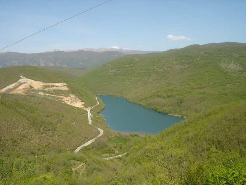 Photo: Македонец · CC BY-SA 4.0

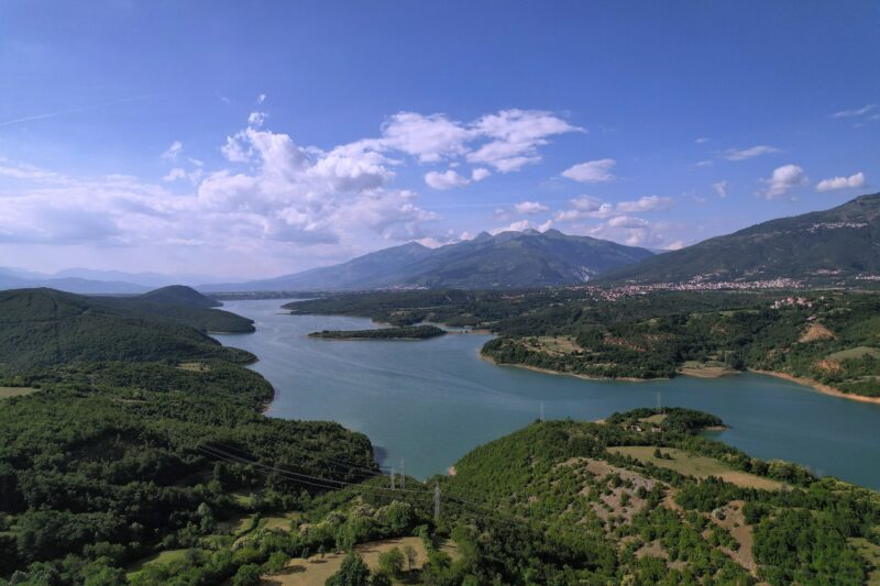 Photo: Dean Lazarevski · CC BY-SA 4.0

Know Podgorečko Ezero well?
Suggest a beach, viewpoint, trail or amenity, or tell us if something has changed. We read every message.
Sources & data
- OpenStreetMap: Подгоречко Езеро (way 198796355), OpenStreetMap contributors
- Village Podgorci – Podgorci Lake, Turni Medaki Nisam
- Jablanica Mountain: hidden lakes and peaks, Kajak.mk
- Jablanica, Journey Macedonia