
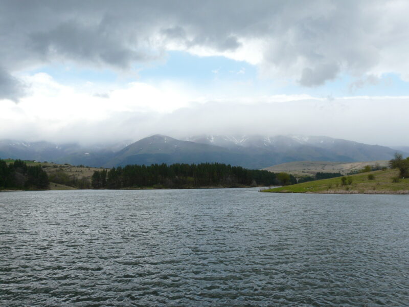
 Photo: Georgi Hristozov · CC BY-SA 3.0
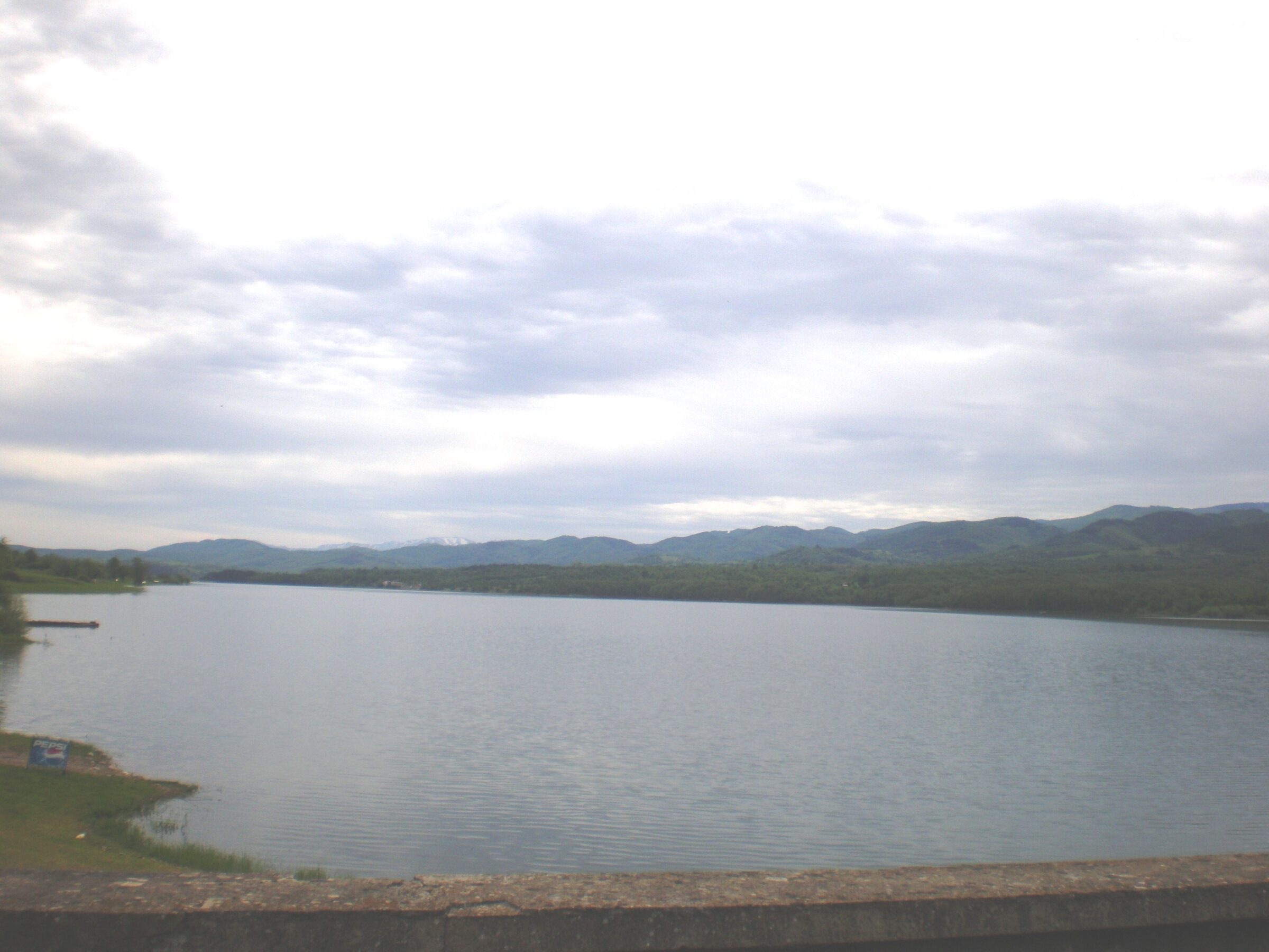
Photo: Marcian · CC BY-SA 3.0
The Sopot reservoir is a large lake of about 8.5 km² in the Fore-Balkan of Lovech Province, about 7 km long, up to 2 km wide and up to 28 m deep, about 30 km north-west of Troyan and 35 km south-west of Lovech. It is now a place for recreation and tourism.
How it formed
Built in 1961, it is fed mainly by the Kalnik, a tributary of the Vit. Parts of the lands of Lesidren and Golyama Zhelyazna were flooded, and both villages were partly resettled.
Visit
Swimming
No reliable information
Tips
The area has campsites, bungalows and villas, with water sports, hiking and cycling. Anglers come for carp, catfish, pike-perch, bream, chub, pike and bass.
Nearby, Toplya Cave is a protected site with finds from the Late Palaeolithic and the Iron Age.
Nearby lakes
Show on mapPhoto: Georgi Hristozov · CC BY-SA 3.0
Bulgaria · Northern Bulgaria
Gorni Dabnik Reservoir
Reservoir · artificial
~42 kmaway
168 metreselevation
Know Sopot Reservoir well?
Suggest a beach, viewpoint, trail or amenity, or tell us if something has changed. We read every message.
Sources & data
- Bulgaria's 2022 Water Framework Directive reporting to the EEA: lake (LW) and transitional (TW) water bodies, field cArea, European Environment Agency (WISE WFD), reported by Bulgaria, 2022
- OpenStreetMap: яз. Сопот (way 116563069), OpenStreetMap contributors
- Wikidata: Sopot (Q12294182), Wikimedia Foundation
- Bulgarian Wikipedia: Сопот (язовир), Wikimedia Foundation
- The Danube Region Basin Directorate monitors the level of the Sopot dam (2025), Ministry of Environment and Water of Bulgaria