
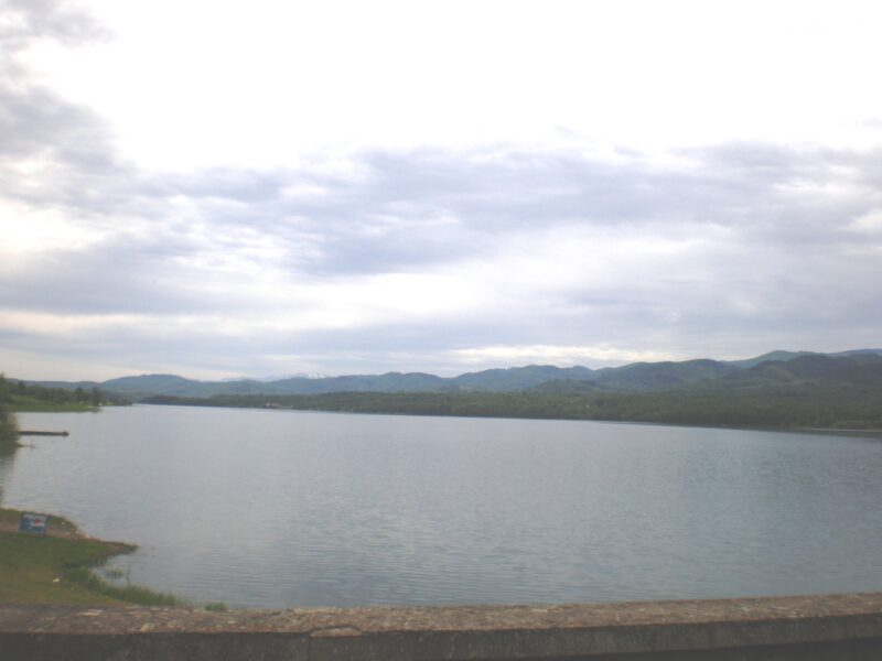
 Photo: Marcian · CC BY-SA 3.0
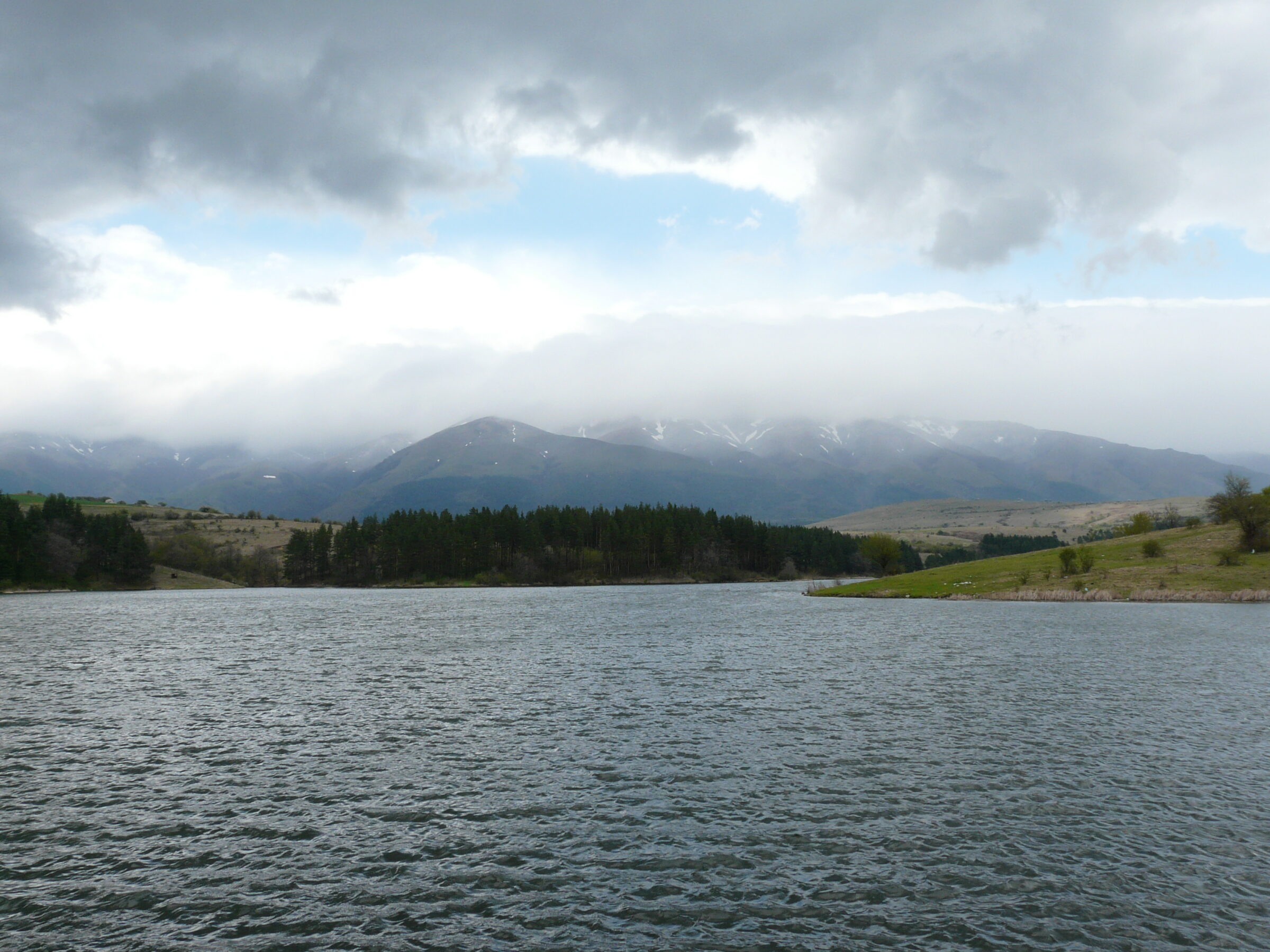
Photo: Georgi Hristozov · CC BY-SA 3.0
The Dushantsi reservoir lies in the Sredna Gora about 2 km from the village of Dushantsi, in Pirdop municipality, with the Zlatitsa–Pirdop valley and the Balkan range to the north. It is on the Topolnitsa, about 2 km long, 300 m wide and up to 48 m deep, and mainly supplies water to industry.
Visit
Swimming
No reliable information
Tips
From Sofia, leave the Sofia–Karlovo–Burgas road on the right just after Pirdop. From Karlovo, turn towards the village of Anton, go straight through its centre and continue to Dushantsi. The far end of the lake reaches close to Koprivshtitsa railway station, and a granite memorial of 1956 stands near the Lazhenski bridge, about 15 km from Koprivshtitsa.
The shores are used for outings, picnics, water sports and fishing, in clean mountain air. Swimming in the reservoir is strictly prohibited.
Nearby lakes
Show on mapPhoto: Marcian · CC BY-SA 3.0
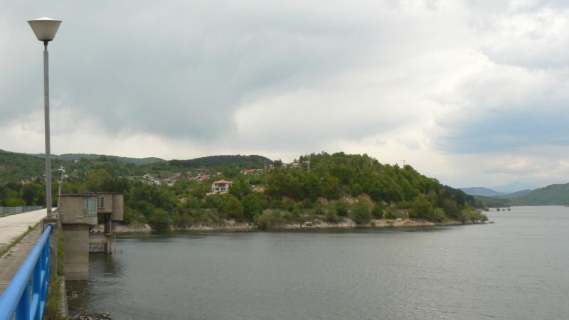 Photo: Vassia Atanassova - Spiritia · CC BY-SA 3.0

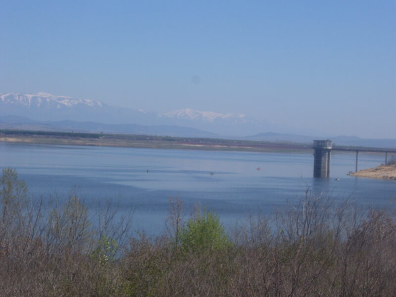 Photo: Мико · CC BY-SA 3.0

Know Dushantsi Reservoir well?
Suggest a beach, viewpoint, trail or amenity, or tell us if something has changed. We read every message.
Sources & data
- Bulgaria's 2022 Water Framework Directive reporting to the EEA: lake (LW) and transitional (TW) water bodies, field cArea, European Environment Agency (WISE WFD), reported by Bulgaria, 2022
- OpenStreetMap: яз.Душанци (way 25220579), OpenStreetMap contributors
- English Wikipedia: Dushantsi Reservoir, Wikimedia Foundation
- Wikidata: Dushantsi Reservoir (Q2334710), Wikimedia Foundation
- Bulgarian Wikipedia: Душанци (язовир), Wikimedia Foundation