
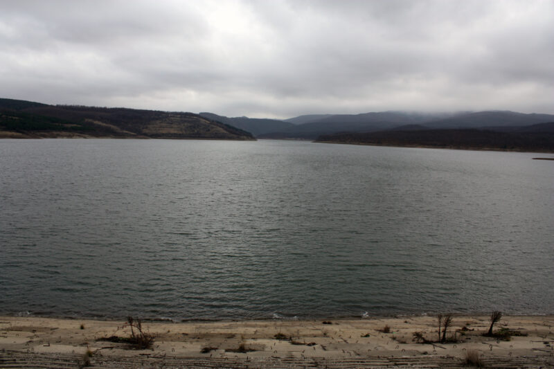
 Photo: Edal Anton Lefterov · CC BY-SA 3.0
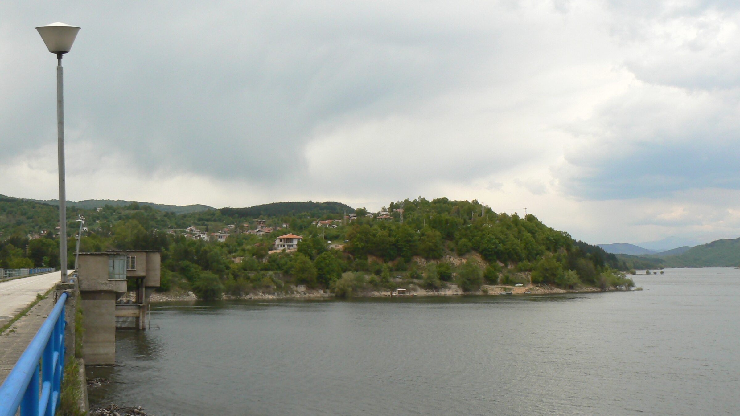
Photo: Vassia Atanassova - Spiritia · CC BY-SA 3.0
The Topolnitsa reservoir lies in the Sredna Gora, on the upper middle Topolnitsa, where the river divides the Ihtiman Sredna Gora from the main range, at about 400 m. Muhovo stands at the dam and Poibrene at the far end. It is the largest and lowest of three reservoirs on the river, with Zhekov Vir and Dushantsi above it.
How it formed
Studies began in 1936 and building in 1948, with completion around 1963. The concrete dam is 78 m high and 336 m long, with a small power plant in the wall. The lake mainly irrigates the Upper Thracian Plain between Pazardzhik and Plovdiv, including rice fields.
History
In 1965 the people of twelve hamlets in Panagyurishte municipality were resettled because of the dam, and some neighbourhoods of Poibrene were flooded.
Visit
Swimming
No reliable information
Tips
The lake is about 75 km from Sofia and 18 km from Panagyurishte, on road III-801 at both Muhovo and Poibrene. Many villas and bungalows line the shore, and anglers fish for pike-perch, carp, crucian carp, rudd and perch.
Poibrene has shops, a restaurant, cafés and a small hotel, a mineral bath fed by a hot spring, a church of 1830 and two medieval fortresses above the gorge, Asenovo Kale and Shishmanovo Kale. The historic site of Oborishte is nearby, with the village about 9 km east of Poibrene.
Nearby lakes
Show on mapPhoto: Edal Anton Lefterov · CC BY-SA 3.0
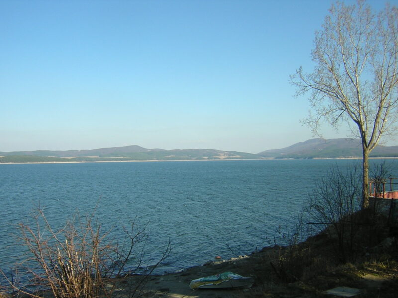 Photo: No machine-readable author provided. Preslav~commonswiki assumed (based on copyright claims). · Public domain

Bulgaria · Southwestern Bulgaria
Iskar Reservoir
Reservoir · artificial
~35 kmaway
817.65 metreselevation
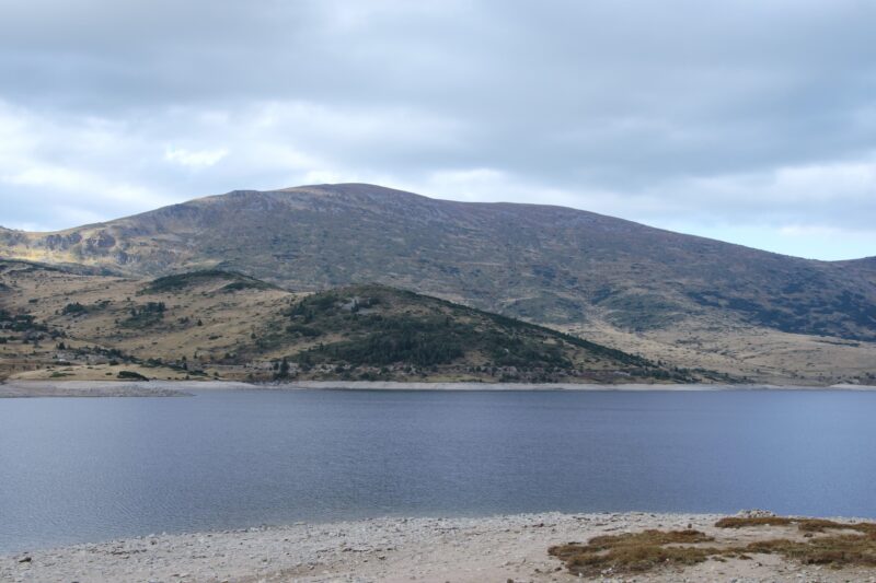 Photo: Aleksdonev · CC BY-SA 4.0

Bulgaria · Rila · Southwestern Bulgaria
Belmeken Reservoir
Reservoir · artificial
~37 kmaway
1,923 metreselevation
Know Topolnitsa Reservoir well?
Suggest a beach, viewpoint, trail or amenity, or tell us if something has changed. We read every message.
Sources & data
- Bulgaria's 2022 Water Framework Directive reporting to the EEA: lake (LW) and transitional (TW) water bodies, field cArea, European Environment Agency (WISE WFD), reported by Bulgaria, 2022
- OpenStreetMap: яз. Тополница (relation 15707846), OpenStreetMap contributors
- Wikidata: Topolnitsa Reservoir (Q7353771), Wikimedia Foundation
- English Wikipedia: Topolnitsa Reservoir, Wikimedia Foundation
- Bulgarian Wikipedia: Тополница (язовир), Wikimedia Foundation
- Wikipedia: Poibrene, Wikimedia Foundation