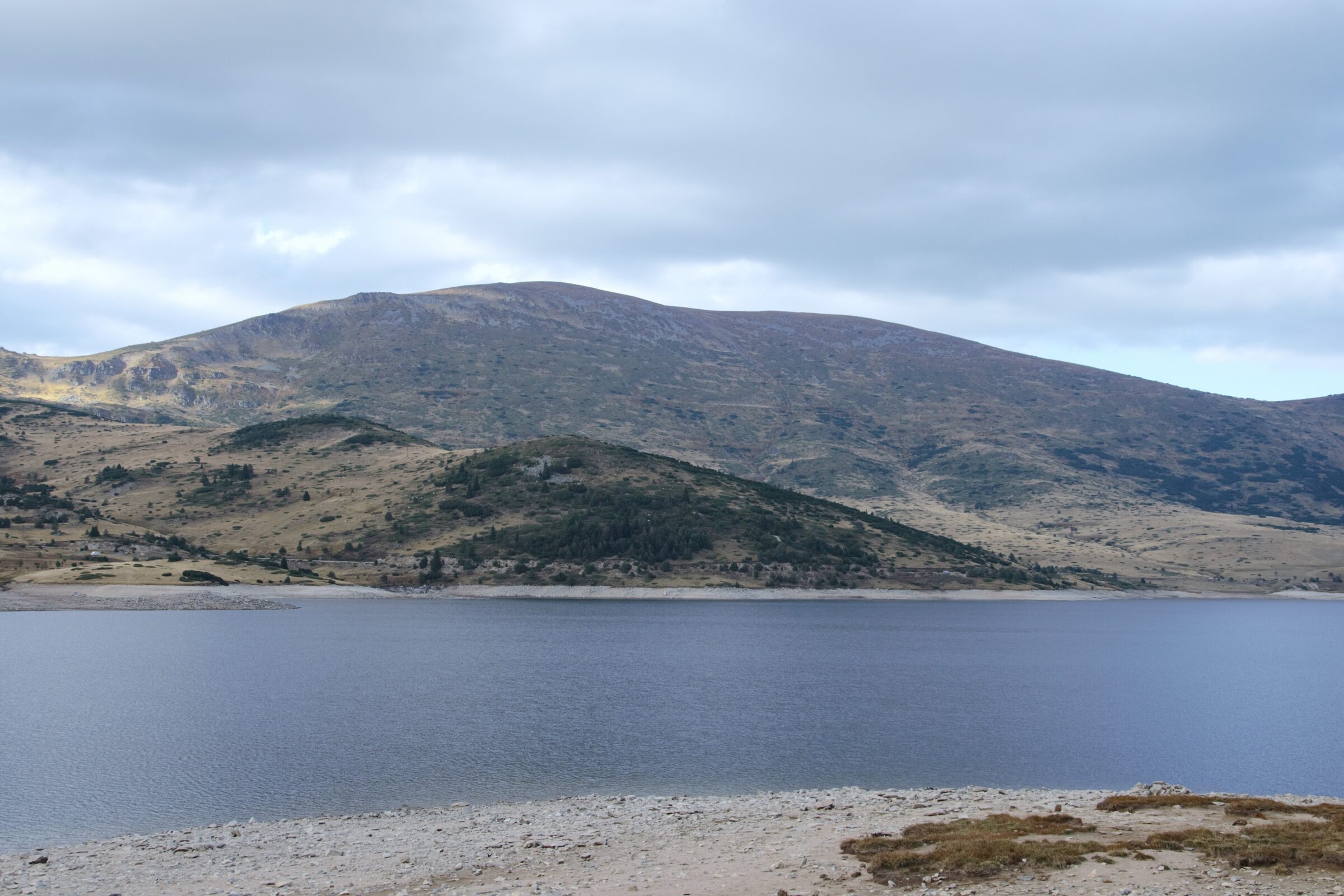
Photo: Aleksdonev · CC BY-SA 4.0

The Belmeken reservoir lies at 1,923 m in eastern Rila, on the upper Krivya river, and is named after Belmeken peak (2,626 m), which rises about a kilometre to the north-west. Almost entirely surrounded by Rila National Park, though itself just outside it, the lake is about 4 km long and 1.2 km wide.
How it formed
Built between 1964 and 1974, it is held by two walls: a main rockfill dam with a clay core, 88.2 m high and described as the highest of its type in the Balkans, and a smaller counter dam of 23.1 m. Seepage forced the lake to be lowered in 1986 and fully drained for repairs in 1989, and normal working resumed in 1991. Canals bring in water from the Maritsa, Mesta and Struma basins, and it is the upper reservoir for the Belmeken and Chaira pumped-storage plants.
Visit
Swimming
No reliable information
Tips
A paved road climbs about 26 km from Sestrimo, gaining about 1,300 m through old conifer forest by way of 12 hairpins. There is little traffic but some potholes, and passing can be difficult. Sestrimo to the north-east and Yundola to the south are the main starting points for walks to the dam. The Belmeken high-mountain sports complex, at about 2,050 m, lies just south-west of the lake.
Nearby lakes
Show on mapKnow Belmeken Reservoir well?
Suggest a beach, viewpoint, trail or amenity, or tell us if something has changed. We read every message.
Sources & data
- Bulgaria's 2022 Water Framework Directive reporting to the EEA: lake (LW) and transitional (TW) water bodies, field cArea, European Environment Agency (WISE WFD), reported by Bulgaria, 2022
- OpenStreetMap: Белмекен (way 439754479), OpenStreetMap contributors
- Wikidata: Belmeken Dam (Q4884276), Wikimedia Foundation
- English Wikipedia: Belmeken Reservoir, Wikimedia Foundation
- Bulgarian Wikipedia: Белмекен (язовир), Wikimedia Foundation
- A paved road to Belmeken Reservoir, Dangerous Roads