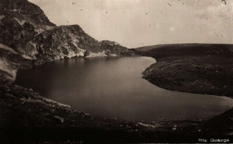
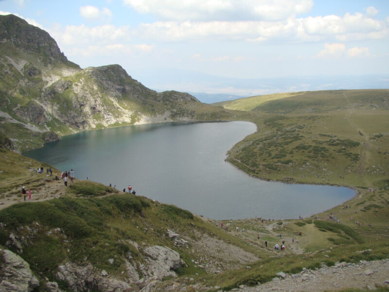
 Photo: Лорд Бъмбъри · Public domain
Bulgaria · Rila · Southwestern Bulgaria
Babreka
Glacial · natural
0.09 square kilometresarea
2,282 metreselevation
28 metresmax. depth
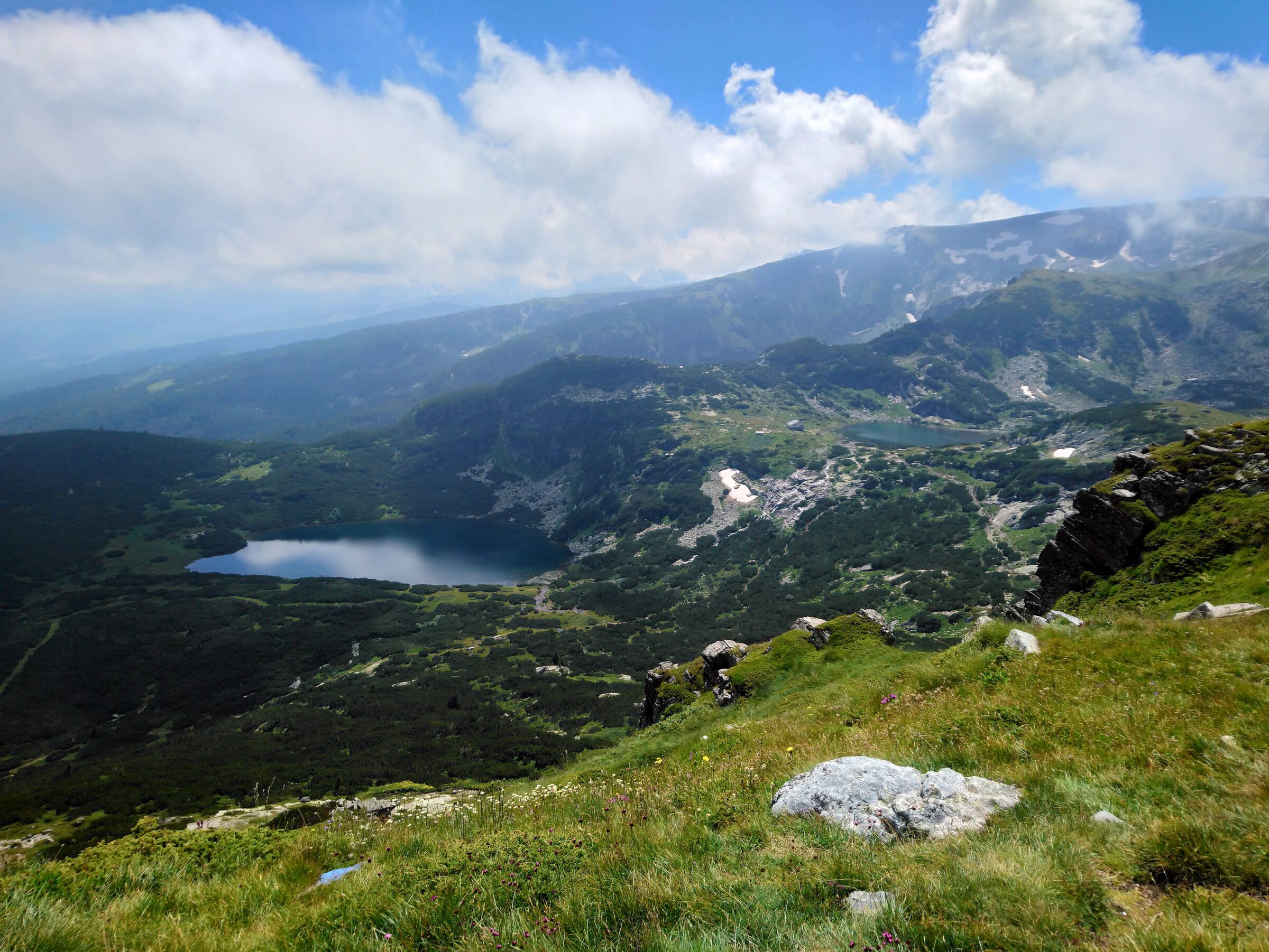
Photo: Untravelled · CC BY-SA 4.0
Rila National Park is the largest national park in Bulgaria, in the Rila mountain range in the south-west of the country. It was established on 24 February 1992 to protect several ecosystems of national importance. Its altitude rises from near Blagoevgrad to Musala Peak, the highest summit on the Balkan Peninsula. The park holds many glacial lakes, among them the well-known Seven Rila Lakes, and many rivers rise in it, including the Maritsa, the river that carries the most water entirely within the Balkans, and the Iskar, the longest river entirely within Bulgaria. It occupies parts of the provinces of Sofia, Kyustendil, Blagoevgrad and Pazardzhik.
Borovets is the usual base. The park's high points are the Seven Rila Lakes (reached by chairlift from Panichishte), Musala at 2,925 m, the highest peak in the Balkans, with the Musala lakes beneath it, and the Skakavitsa waterfall, about an hour's walk from the Seven Lakes. Rila Monastery, a cultural and religious landmark dating from the 10th century, is a separate stop that many tours combine with the lakes. Summer weekends are crowded, so start early; the high trails and lakes stay under snow into early summer, and ice lingers on some lakes. The Panichishte visitor centre is open 9:00–17:30. Wear decent hiking shoes, as the rocks get bigger higher up. Check the official sites for any entrance fee.
Map unavailable. The list keeps working.
Pinch to zoom. Pan with two fingers.
Ctrl+scroll to zoom (Cmd+scroll on Mac)
Photo: Лорд Бъмбъри · Public domainBulgaria · Rila · Southwestern Bulgaria
Glacial · natural
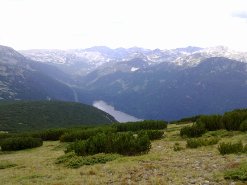 Photo: YjM · CC BY-SA 3.0
Bulgaria · Rila · Southwestern Bulgaria
Reservoir · artificial
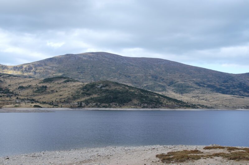 Photo: Aleksdonev · CC BY-SA 4.0
Bulgaria · Rila · Southwestern Bulgaria
Reservoir · artificial
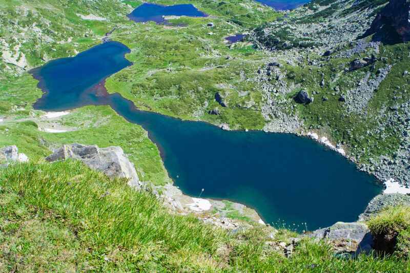 Photo: Dido3 · CC BY-SA 3.0
Bulgaria · Rila · Southwestern Bulgaria
Glacial · natural
Bulgaria · Rila · Southwestern Bulgaria
Glacial · natural
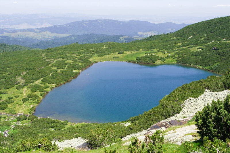 Photo: Dido3 · CC BY-SA 3.0
Bulgaria · Rila · Southwestern Bulgaria
Glacial · natural
Bulgaria · Rila · Southwestern Bulgaria
Reservoir · artificial
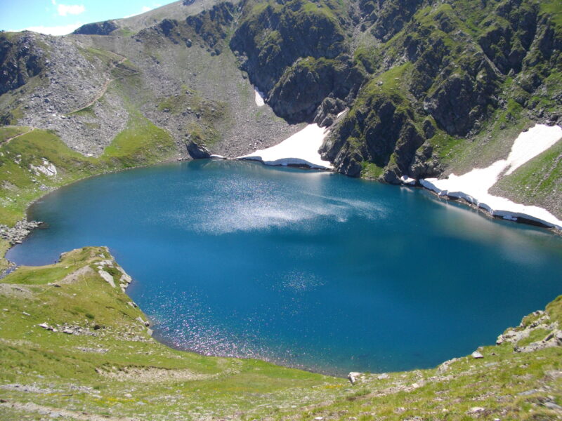 Photo: Glagoli · Public domain
Bulgaria · Rila · Southwestern Bulgaria
Glacial · natural
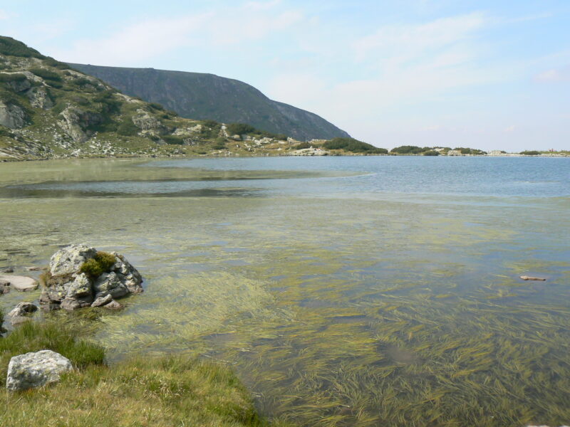 Photo: Vassia Atanassova · Public domain
Bulgaria · Rila · Southwestern Bulgaria
Glacial · natural
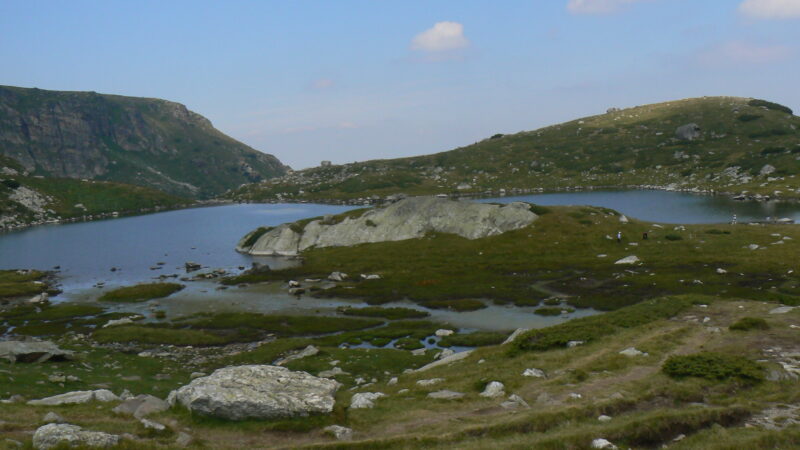 Photo: Vassia Atanassova · Public domain
Bulgaria · Rila · Southwestern Bulgaria
Glacial · natural
Tell us if something has changed or is missing. We read every message.
Thank you. We read every suggestion.