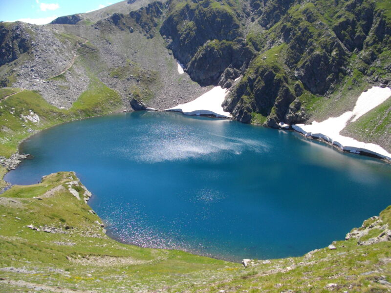
 Photo: Glagoli · Public domain

Bulgaria · Rila · Southwestern Bulgaria
Okoto (Rila)
Glacial · natural
~0.4 kmaway
2,440 metreselevation
The Tear, the highest of the Seven Rila Lakes.
At 2,535 m, Salzata is a small lake of about 0.7 ha, 4.5 m deep. It drains separately into Bliznaka far below.
No reliable information
The usual start is Panichishte, above Sapareva Banya, about 1 hour 45 minutes by car from Sofia. The chairlift rises from about 1,570 m to about 2,100 m in 25 minutes, close to the Rila Lakes Hut (about 2,150 m). Check the time of the last ride down.
From Okoto, the last stretch takes about 15–20 minutes and is the most demanding part of the ascent, zigzagging over loose rock. The reward is the view of the lakes below, and on a clear day Pirin, Vitosha and the Rhodopes on the horizon. Winter walking needs winter gear. See the Seven Rila Lakes page for more.
Photo: Glagoli · Public domainBulgaria · Rila · Southwestern Bulgaria
Glacial · natural
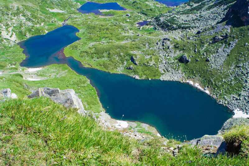 Photo: Dido3 · CC BY-SA 3.0
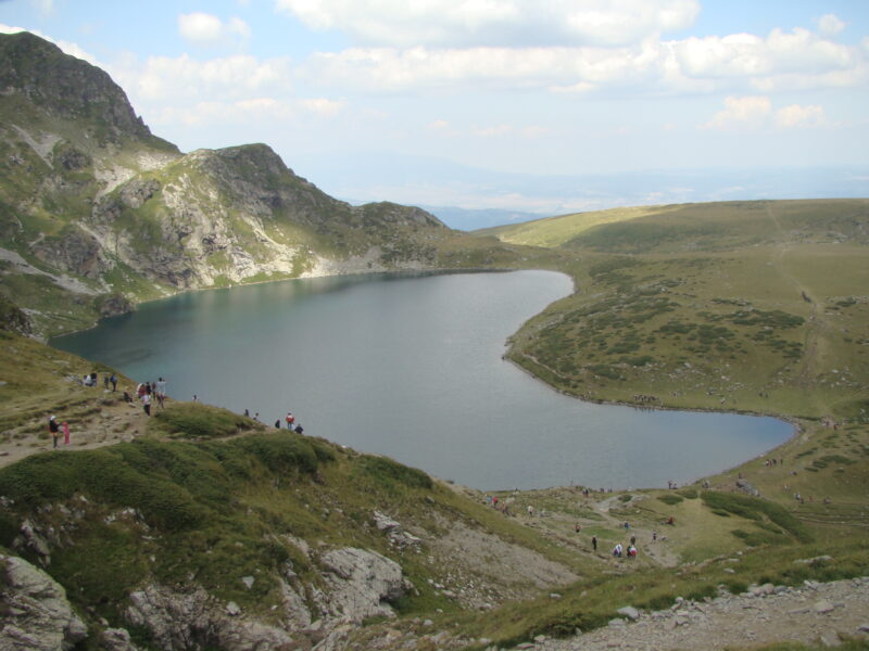 Photo: Лорд Бъмбъри · Public domain
Suggest a beach, viewpoint, trail or amenity, or tell us if something has changed. We read every message.
Thank you. We read every suggestion.

